NAWM
The National Association of Wetland Managers is a nonprofit membership organization established in 1983 to promote and enhance protection and management of wetland resources, to promote application of sound science to wetland management efforts and to provide training and education for our members and the public. Membership is open to anyone who is involved with wetland resources.
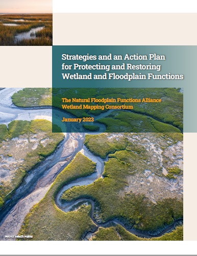 The Natural Floodplain Functions Alliance (NFFA) and the Wetland Mapping Consortium (WMC) are pleased to announce the release of their jointly developed report, “Strategies and an Action Plan for Protecting and Restoring Wetland and Floodplain Functions.” This report is the result of a multi-year initiative and a series of workshops that were developed to identify barriers to greater integration of wetland and floodplain management efforts and strategies for overcoming those barriers for nature-based solutions. The overall goal of the initiative was to support greater climate resiliency and, in turn, safer and healthier communities for all Americans.
The report is organized based on four pillar topics that were identified during workshops as being central to developing a path forward: policy, data, funding, and communication. The report documents workshop findings, policy recommendations, and suggested next steps.
The loss of functioning floodplains is contributing to water-resources management challenges across the nation, including increased flooding and erosion, poor water quality, drought, and loss of biodiversity. Functioning floodplains are a necessary solution to address the climate change and biodiversity crises that we face today. The strategies and recommendations included in the report are intended to provide a launching pad to reignite federal leadership and support for a unified national program and action plan for protecting and restoring the natural and beneficial functions of wetlands and floodplains.
The link below will ask for your email address to download the Strategies and an Action Plan for Protecting and Restoring Wetland and Floodplain Functions report. If you do not want to enter your email address, please contact Sharon (sharon@nawm.org) for the link to the report.
Thank you to our Generous Sponsors!
| Host Sponsor |
 The mission of the Nebraska Game and Parks Commission is stewardship of the state’s fish, wildlife, park, and outdoor recreation resources in the best long-term interests of the people and those resources. The mission of the Nebraska Game and Parks Commission is stewardship of the state’s fish, wildlife, park, and outdoor recreation resources in the best long-term interests of the people and those resources. |
Kingfisher Sponsors
 Ducks Unlimited is dedicated to conserving North America's waterfowl habitats and has conserved more than 15 million acres. Ducks Unlimited is dedicated to conserving North America's waterfowl habitats and has conserved more than 15 million acres. |
||
 Cattails Environmental is a consulting company working primarily in Arkansas, Oklahoma, Missouri, and Kansas providing clients with services related to the Clean Water Act, National Environmental Policy Act and Endangered Species Act Cattails Environmental is a consulting company working primarily in Arkansas, Oklahoma, Missouri, and Kansas providing clients with services related to the Clean Water Act, National Environmental Policy Act and Endangered Species Act |
||
|
|
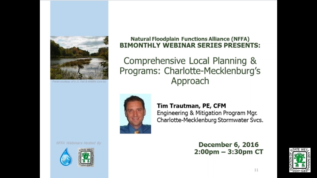
Comprehensive Local Planning and Programs: Charlotte-Mecklenburg’s Approach
Tuesday, December 6, 2016 - 3:00 p.m. ET

DESCRIPTION
Comprehensive planning and visioning for floodplains can only be done on the local level. Many communities lack a vision or don’t know where to begin. This webinar will demonstrate how Charlotte-Mecklenburg developed and implemented a local resilience vision, and created plans and programs to implement it over the past 20 years. It takes a whole lot more than just funding to truly become more resilient.
This webinar provided ideas and examples that can be implemented to varying degrees in any community. Some of the topics in this webinar included; community visions for managing flood risk that promote long term resilience, communities acceptable risk level, adapt to flood risk changes, incentivizing and implementing mitigation at the local level, making your mitigation planning more useful, communicating risk that will lead to actions, showing results.
Flood Risk Assessment and Risk Reduction Plan (January 2012)
PRESENTER
- Tim Trautman, PE, CFM, Charlotte-Mecklenburg Storm Water Services, Engineering & Mitigation Program Manager [PRESENTATION PDF]
Please click only once on each video recording to view in this window.
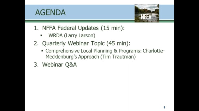

Presenter: Tim Trautman, PE, CFM, Charlotte-Mecklenburg Storm Water Services



October Federal Update: The FEMA Proposed Rule for FFRMS and Update on WRDA
Tuesday, October 4, 2016 - 3:00 p.m. EDT
- Larry Larson, Senior Policy Advisor, Association of State Floodplain Managers
Improving the Quantity and Quality of Coastal Wetlands in the U.S. South Atlantic
INTRODUCTION
- Marla Stelk, Policy Analyst, ASWM and Jeanne Christie, ASWM [PRESENTATION PDF]
PRESENTERS
- Kristine Cherry, Governors' South Atlantic Alliance (GSAA) [INTRODUCTION PDF] [PRESENTATION PDF]
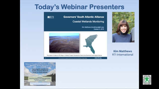
- Kim Matthews, RTI International [PRESENTATION PDF]
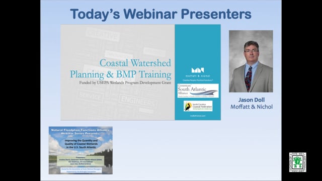
- Jason Doll, Moffatt & Nichol [PRESENTATION PDF]
ABSTRACT
The USFWS and NOAA report that coastal wetlands in the US are being lost at a rate six times faster than wetlands in the rest of the country. Impacts to coastal wetlands are a challenge for every level of government and governance, and while many regulatory authorities fall within the jurisdiction of national and state government agencies, there are knowledge gaps at the regional level in understanding trends and environmental, physical, and anthropogenic factors that impact wetlands. State, federal, and non-profit partners have come together through the Governors’ South Atlantic Alliance to address the regional-scale needs of coastal wetlands conservation efforts. The webinar will review the objectives and the approaches of three main components of the GSAA coastal wetlands program, and the progress to date from each.
Project #1 Coastal Wetlands Monitoring
Objectives
- Improve coordination of fragmented monitoring programs
- Improve comparability of monitoring programs
- Improve data awareness and information sharing
Project #2 Coastal Watershed Management
Objectives
- Increase local capacity for development of watershed restoration plans
- Facilitate implementation of Coastal Water Quality BMPs
Project #3 Living Shorelines
Objectives
- Develop a network of living shorelines practitioners in the Southeast
- Build awareness of the scope of living shorelines activities in the region
- Identify gaps in knowledge and capacity that, if filled, would expand the appropriate use of living shorelines
Please click only once on each video recording to view in this window.
Part 1: Introduction: Marla Stelk, Policy Analyst, ASWM
Presenter: Kristine Cherry, Governors' South Atlantic Alliance (GSAA)


Funding for Floodplain Restoration: Breaking Down Incentives to Develop Floodplains & Recent FEMA Policy Updates
September 1, 2016 - 3:00 p.m. ET
HOST
Association of State Floodplain Managers
PRESENTER
- Zachary Christin, Project Director, Earth Economics
ABSTRACT
Last May, FEMA released a memorandum that outlined how the agency is broadening authorization of natural solutions for flood mitigation projects. Under the new policy, FEMA expanded eligibility of pre-mitigation project types for drought and wildfire disasters, which include groundwater recharge and reforestation. The agency is also allowing ecosystem service values to be applied to benefit-cost analysis of these pre-mitigation activities. The takeaway message: FEMA now funds restoration projects that mitigate the effects of disasters.
FEMA’s recent policy update marks their second major milestone as a leader in addressing a future under a changing climate. With programs in nearly $24 billion of debt, FEMA’s change was imminent, and further reform may be necessary. Other federal agencies must follow suit as we continue to experience the development of floodplains that exacerbate flood damages and inhibit ecological functions.
This presentation will begin with a discussion of U.S. regulatory policy related to floodplain management and the disincentives that allow development of floodplains to persist. The discussion will follow with a path moving forward: Highlighting success cases at the federal level and offering solutions to existing policy.
Please click only once on each video recording to view in this window.
NFFA Federal Updates: Jeanne Christie, Executive Director, ASWM
Presenter: Zachary Christin, Project Director, Earth Economics
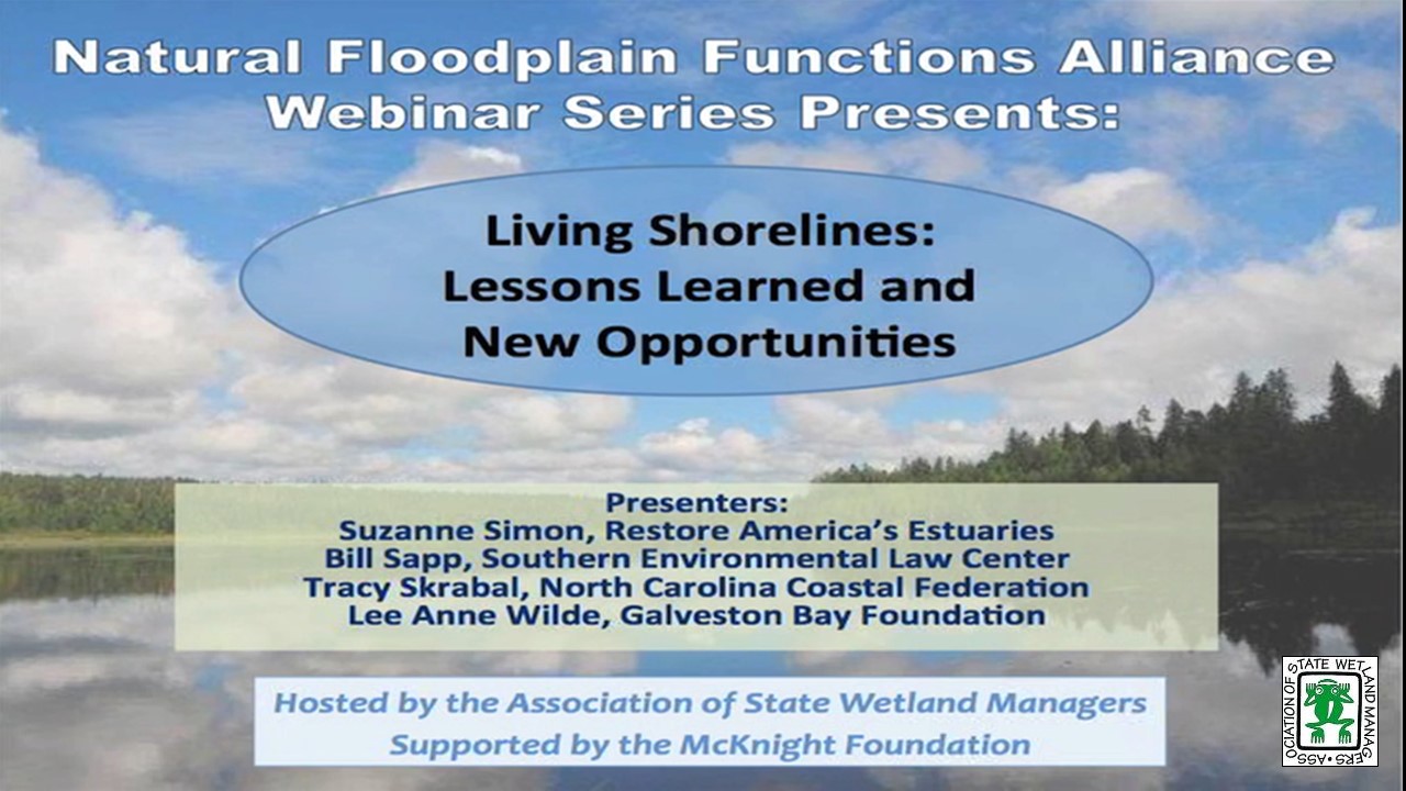
Living Shorelines: Lessons Learned and New Opportunities
June 7, 2016 - 3:00 p.m. ET
INTRODUCTION
- Marla Stelk, Policy Analyst, ASWM and Jeanne Christie, ASWM [PRESENTATION PDF]
PRESENTERS
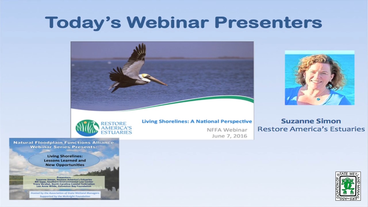
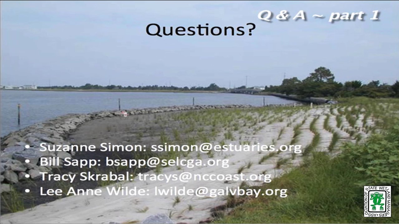
- Suzanne Simon, Strategic Programs Manager, Restore America’s Estuaries [PRESENTATION PDF]
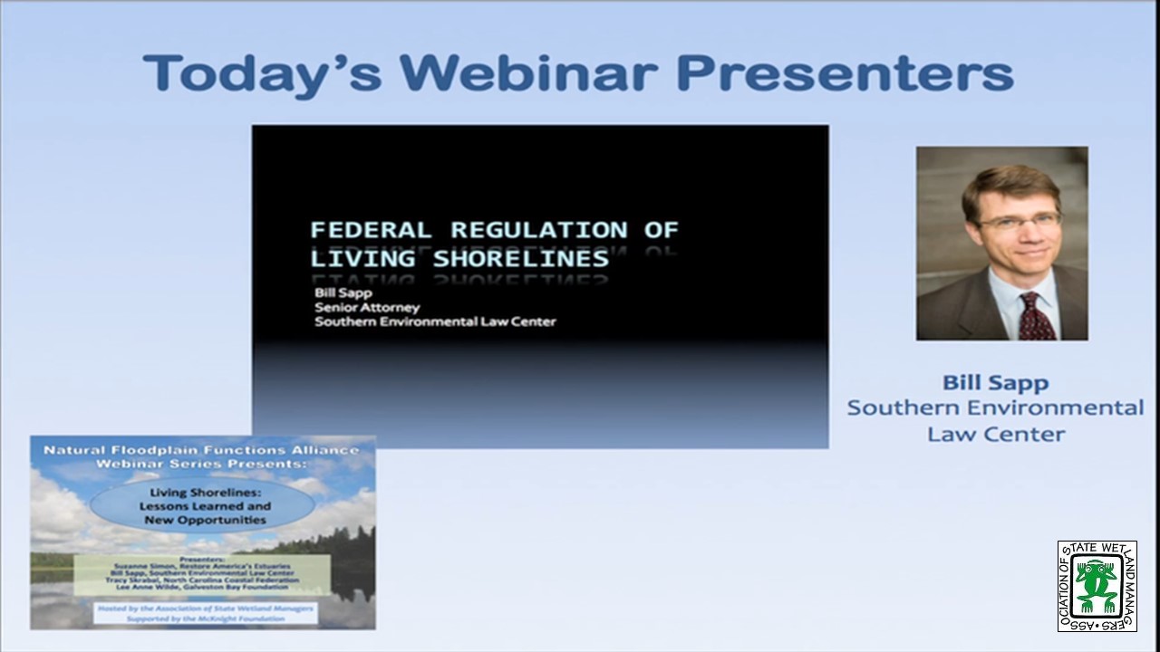
- Bill Sapp, Senior Attorney, Southern Environmental Law Center [POWERPOINT PRESENTATION]
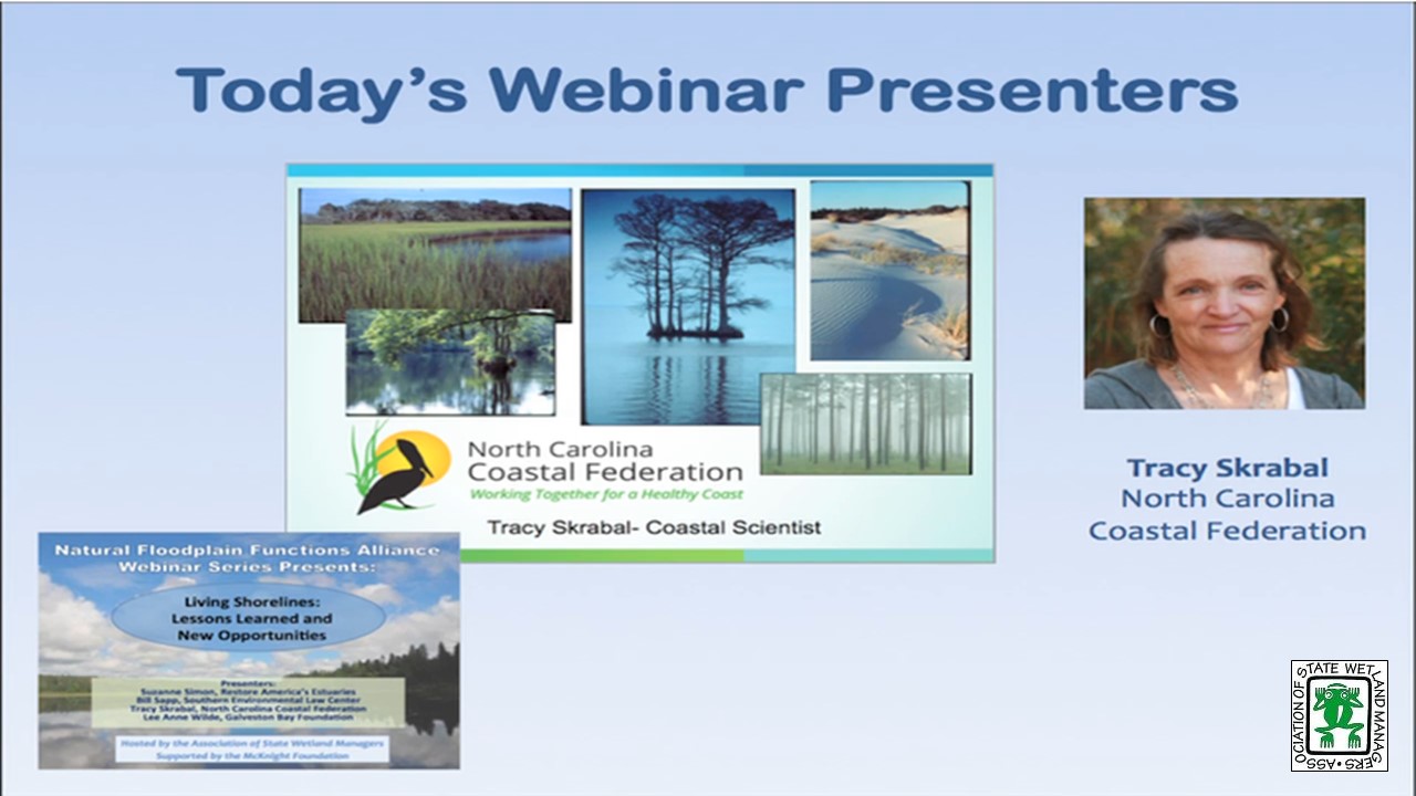
- Tracy Skrabal, Southeast Regional Manager and Coastal Scientist, North Carolina Coastal Federation [PRESENTATION PDF]
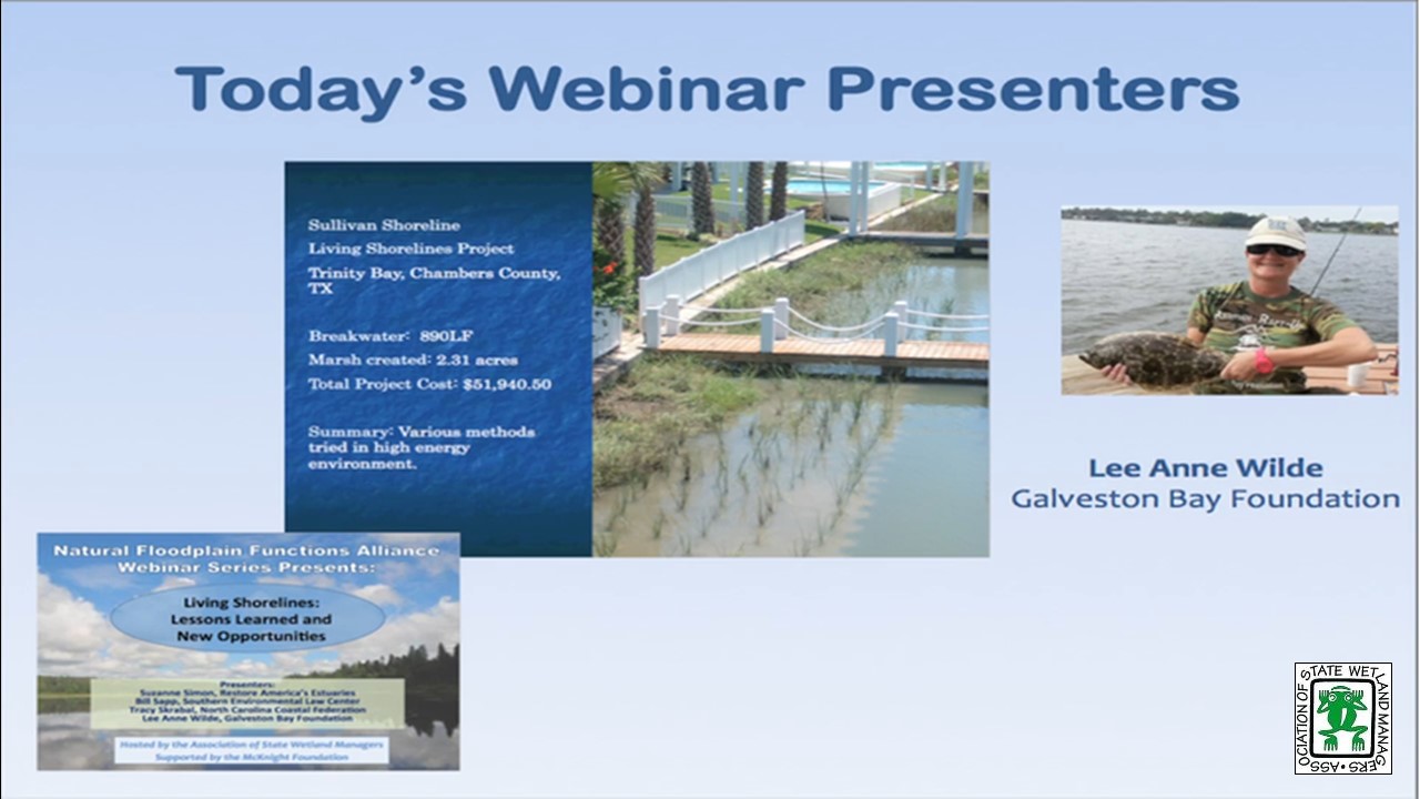
- Lee Anne Wilde, Living Shorelines Program Managers, Galveston Bay Foundation [PRESENTATION PDF]
ABSTRACTS
Suzanne Simon, Restore America’s Estuaries
Whether known as living shorelines, soft stabilization, soft armoring, or green shores, this suite of techniques provides an opportunity for property owners to address shoreline erosion while also providing ecosystem and habitat benefits. Ms. Simon will provide an overview from a national perspective regarding these approaches. She will also highlight findings, tools, opportunities, and resources for people wanting information, either for themselves or property owners.
Bill Sapp, Southern Environmental Law Center
The proposed nationwide permits have finally hit the streets. As predicted there is a NWP 13, as well as a new NWP for living shorelines. I will be discussing the good, the bad, and the ugly in each of these permits. I will also be discussing the importance of commenting on these permits during the 60 day comment window. It is critical that the Corps gets these permits right because we need to head off the growing epidemic of shoreline hardening facing our coasts and rivers.
Tracy Skrabal, North Carolina Coastal Federation
This presentation will provide information and “lessons learned” for living shorelines projects in and around North Carolina. With decades of experience as a backdrop, Ms. Skrabal will discuss challenges and opportunities for living shorelines projects. In addition, the presentation will provide Ms. Skrabal’s perspective and experience in advocating for permitting changes for these efforts.
Lee Anne Wilde, Galveston Bay Foundation
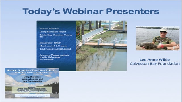
This presentation will use as a case study a living shoreline site on Trinity Bay near Anahuac, TX. Galveston Bay Foundation and the landowner have been working for many years to find ways to control the erosion of his shoreline in ways that enhance habitat and water quality. Several methods have been tried in this high energy environment. This presentation will look at what has worked and what hasn’t discussing lessons learned along the way. In addition, the presentation will address why GBF sought a Nationwide 27 permit for habitat creation as opposed to a Nationwide 13 for bank stabilization in this instance as well as many others.
Please click only once on each video recording to view in this window.
Part 1: Introduction: Marla Stelk, Policy Analyst, ASWM


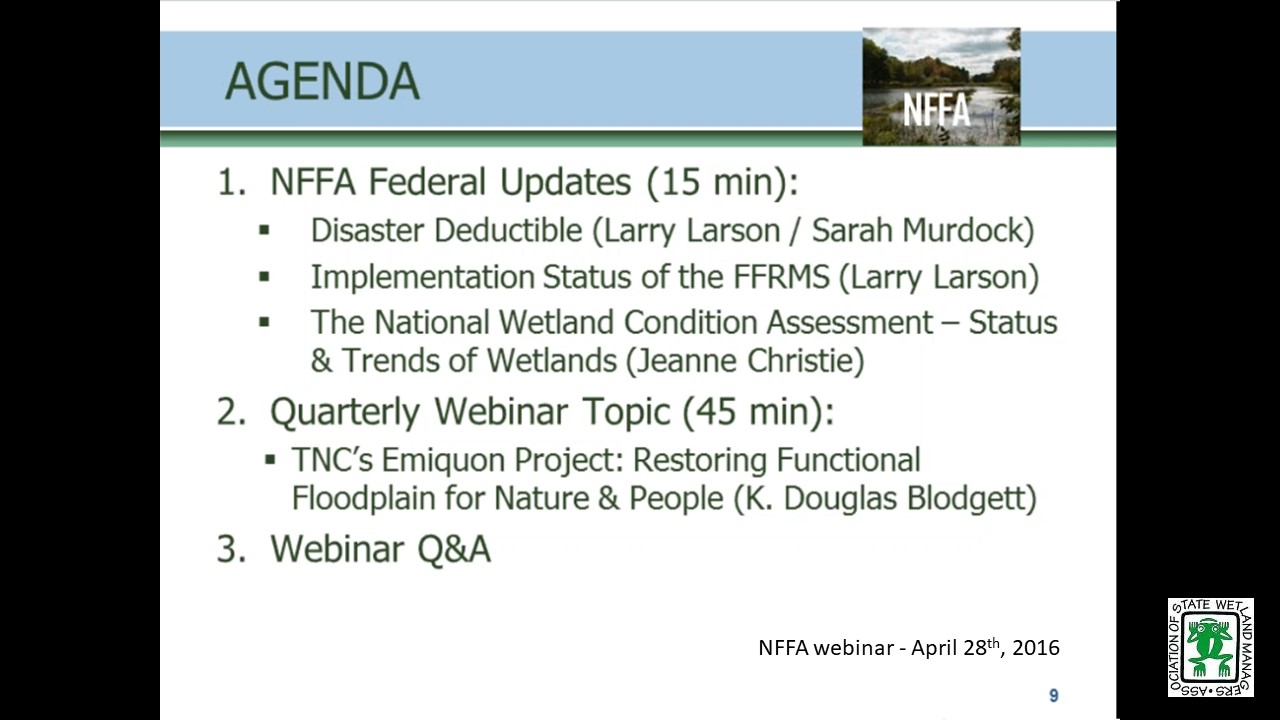
The Nature Conservancy's Emiquon: Restoring Functional Floodplain for Nature & People
April 28, 2016 - 3:00 p.m.-4:30 p.m. ET
HOST
Association of State Floodplain Managers
PRESENTER
- K. Douglas Blodgett, Director of River Conservation, Illinois Chapter of The Nature Conservancy [PRESENTATION PDF]
ABSTRACT
In large-floodplain river systems, such as the Illinois River, the dynamic connection between the river and its floodplain contributes to important ecological processes and habitats that provide a wide variety of ecosystem services and support diversity and abundance. Most of these services were minimized or even lost completely when fertile floodplains were isolated by levees and drained for agriculture nearly a century ago. At The Nature Conservancy’s 6700-acre Emiquon Preserve along the Illinois River, we are working with partners on restoration and management of a formerly leveed, draied, and intensively farmed floodplain to reestablish many of the ecosystem services it formerly provided. Restoration began in 2007 and results to date have been impressive. Over 265 bird species have been documented and peak one-day densities of water birds are approaching 200,000. In 2016, a managed connection between the restored floodplain and the river is being completed to provide water control needed for restoring a more natural hydrology to sustain the high-quality habitats and to facilitate movements of aquatic organisms. Through effectual partnerships with agencies, universities and other NGOs, research and monitoring at Emiquon is advancing our understanding, restoration, and management of floodplains and the many benefits they provide for nature and people.
Please click only once on each video recording to view in this window.
Presenter: K. Douglas Blodgett, Director of River Conservation, Illinois Chapter of The Nature Conservancy
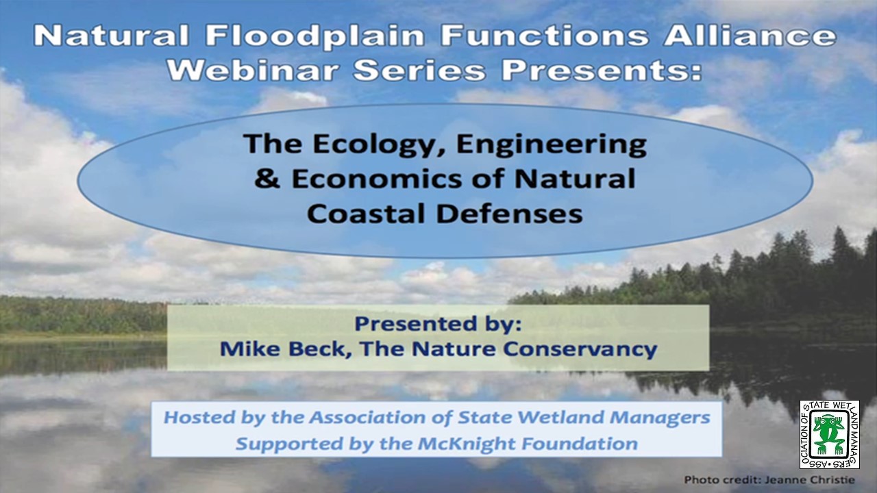
The Ecology, Engineering & Economics of Natural Coastal Defenses
Tuesday, March 1, 2016 - 3:00 p.m. - 4:30pm ET
INTRODUCTION
- Marla Stelk, Policy Analyst, ASWM and Jeanne Christie, ASWM [PRESENTATION PDF]
PRESENTER
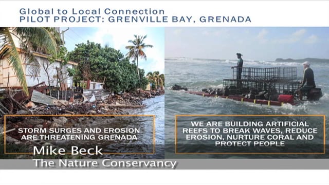
- Mike Beck, The Nature Conservancy and Adjunct Professor in Ocean Sciences, University of California Santa Cruz [PRESENTATION PDF]
ABSTRACT
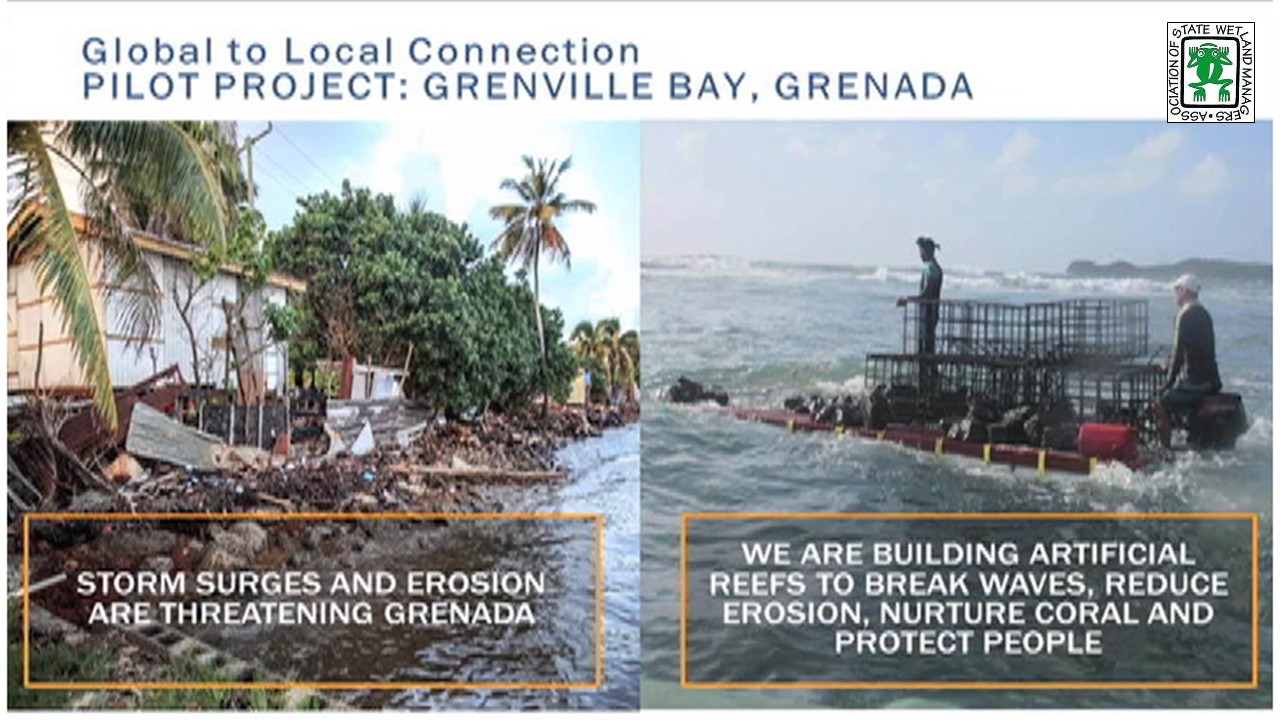
The risks and the costs associated with coastal hazards are increasing both from coastal development and climate change. Coastal and marine habitats, particularly reefs and wetlands can substantially reduce exposure and vulnerability to coastal hazards, providing natural protection from risk. Yet the value of these systems as natural and nature-based defenses is still not fully recognized, and they continue to be lost and degraded. This webinar session will provide participants with: (a) a synopsis from a new World Bank Guidance Note on the coastal protection role of reefs and mangroves and the recommended approaches for valuing these benefits; (b) results from a global analysis that uses the recommended approaches to quantify the costs of flooding from coral reef loss; and (c) Results from cost:benefit analyses with TNC and Swiss Re that quantitatively compare natural and artificial defenses across the entire the Gulf of Mexico.
Please click only once on each video recording to view in this window.
Part 1: Introduction: Marla Stelk, Policy Analyst, ASWM and Jeanne Christie, ASWM

View Past Natural Floodplain Functions Alliance Webinars
PDF List of Past Natural Floodplain Functions Alliance Webinar Recordings
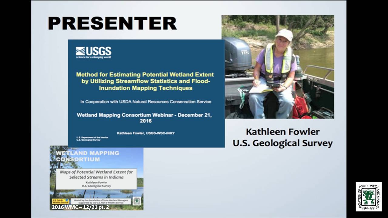
Maps of Potential Wetland Extent for Selected Streams in Indiana
Held Wednesday, December 21, 2016 - 3:00 pm Eastern
INTRODUCTION
- Marla Stelk, Policy Analyst, Association of State Wetland Managers
PRESENTER
- Kathleen Fowler, U.S. Geological Survey [PRESENTATION PDF]
ABSTRACT
Project in cooperation with U.S. Department of Agriculture, Natural Resources Conservation Service, Indianapolis, Indiana
Wetlands serve many ecological and hydrological functions. The NRCS Wetland Reserve Program planning criteria state for a site to be a wetland eligible for a restoration in agricultural land, it needs be in a zone with sustained or frequent flooding for a period of 7 consecutive days on average at least once every 2 years (a recurrence interval called the 7MQ2).
The objectives of this project are to expand the library of 7QM2 potential wetland extent maps in Indiana; to make existing and new maps in the library available through an on-line public map viewer; to document software for 7QM2 map preparation; and to publish results of field verification of the maps, along with new maps by USGS.
BIO
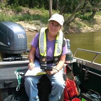 Kathleen Fowler has a Bachelor’s Degree in Geology from Indiana University. Her first major work experience was in the oil fields of Texas and Louisiana as a mud logging geologist. She began her career with the USGS as a field technician and then a hydrologist.
Kathleen has experience in both ground-water and surface-water hydrology. She has created GIS databases for military bases within Indiana. She has applied GIS techniques to classify hydrogeologic data for use in the ground-water model, MODFLOW. She led projects to compile hydrogeologic and water-quality data for the St. Joseph Aquifer System and sediment transport along a stream in that area. For Indiana’s Source Water Assessment, Kathleen surveyed and described intakes at most of Indiana’s surface-water suppliers. She has participated in mercury studies in litterfall, precipitation, and streams. Her most recent work has involved flood inundation mapping, low-flow characteristics estimation, and regional regression analysis for low-flow estimation at ungagged sites. She is an active member in Indiana Water Resources Association and is a Licensed Professional Geologist.
Please click only once on each video recording to view in this window.
Part 1: Introduction: Marla Stelk, Policy Analyst, Association of State Wetland Managers
Presenter: Kathleen Fowler, U.S. Geological Survey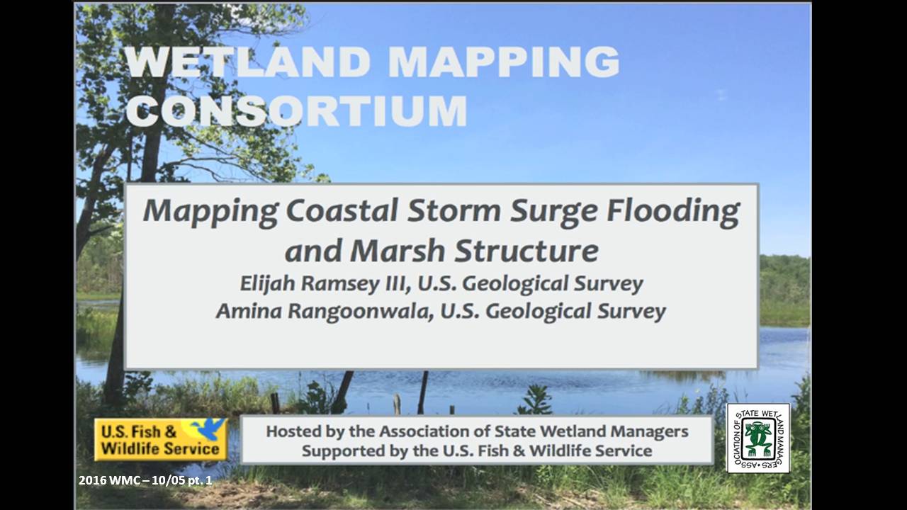

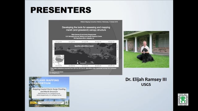
Mapping Coastal Storm Surge Flooding and Marsh Structure
Held Wednesday, October 5, 2016 - 3:00 pm Eastern
PRESENTERS
- Elijah Ramsey III, U.S. Geological Survey
- Amina Rangoonwala, U.S. Geological Survey
ABSTRACTS
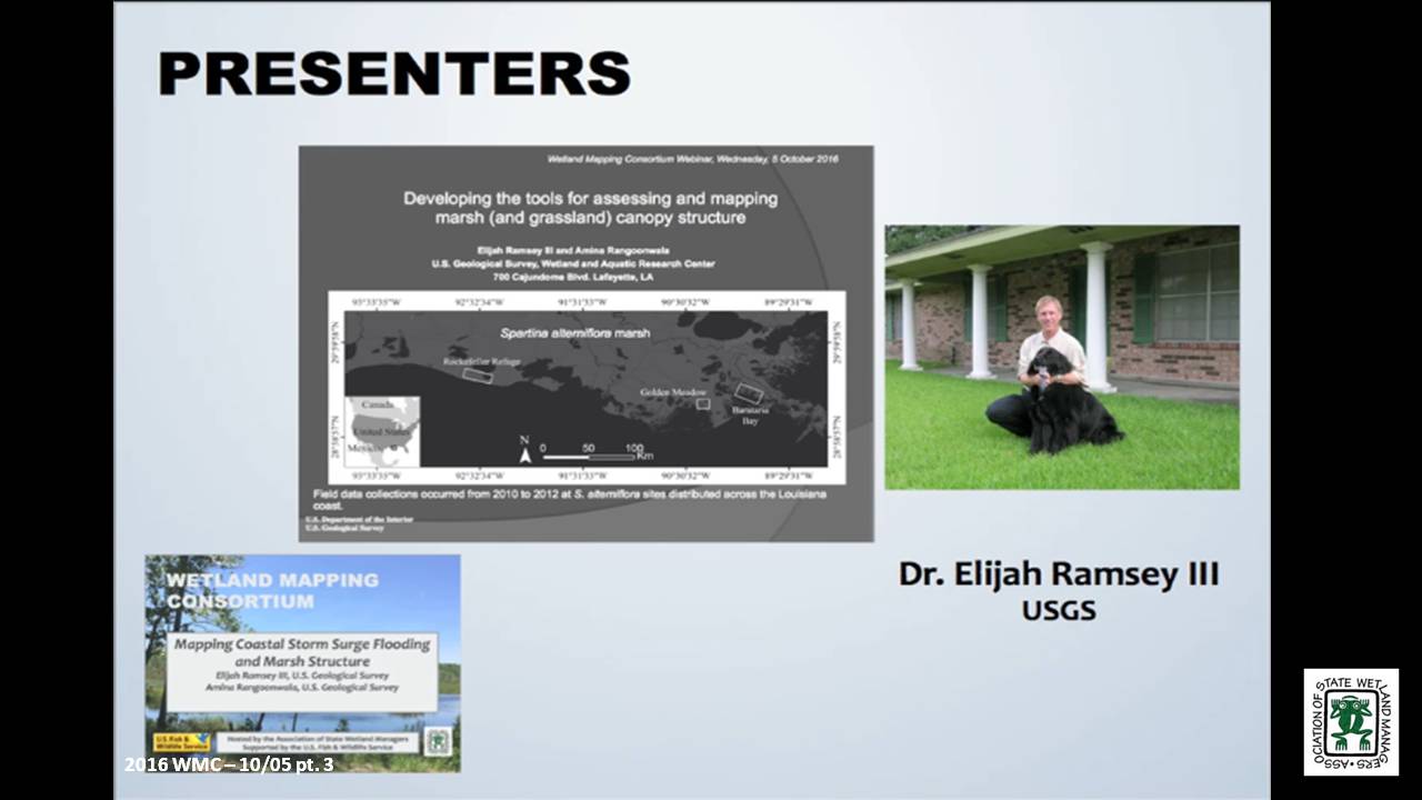
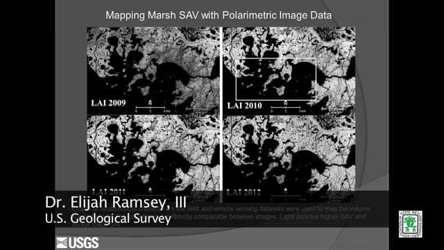
Developing the tools for assessing and mapping marsh (and grassland) canopy structure – Elijah Ramsey III, U.S. Geological Survey
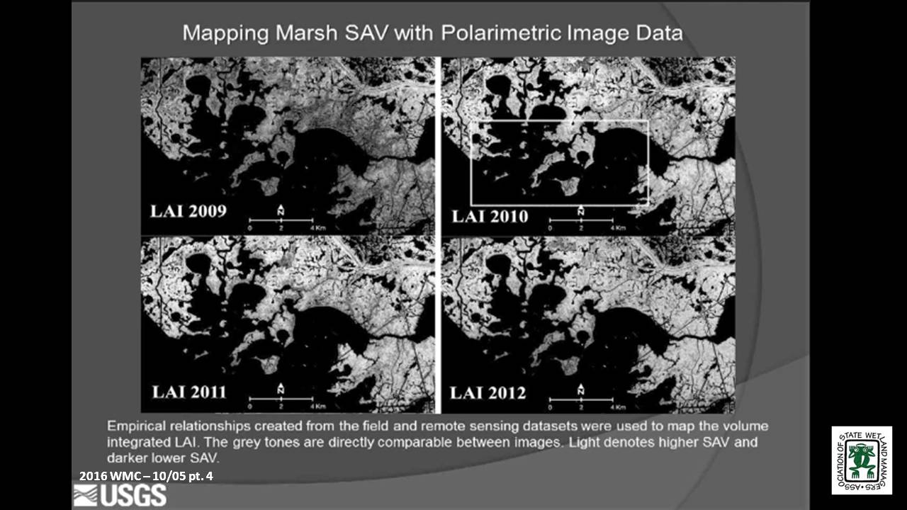
The capability to map marsh structure started with developing field methods that provided quantitative and reproducible 3-dimentional representations of marsh canopy structure. Methods of field collection were standardized over numerous studies and conversion of those standardized field measurements to vertical profiles of leaf area index (LAI) and average leaf angle distribution (LAD) was accomplished without user supplied estimates. LAI integrated to a volume metric and LAD were combined with polarimetric SAR data to create empirical relationships that were then used to create maps of marsh structure.
Hurricane Surge Extent, Persistence and Marsh Condition Change – Amina Rangoonwala, U.S. Geological Survey
Working to support coastal resilience, our studies have focused on providing resource management with effective strategies for identifying latent impacts to coastal resources. Within that effort, we have studied the capabilities of radar to map subcanopy flooding and its persistence in coastal marshes. We have also used optical to show how surge can cause widespread fresh and saline marsh dieback. Here we use a sequence of post landfall radar based surge extents to calculate surge persistence and link that to optical based pre to post landfall marsh live biomass change.
BIOS
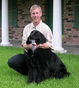 Elijah Ramsey III is a principal investigator of terrestrial and coastal ocean remote sensing and image processing in the U. S. Geological Survey, Wetland and Aquatic Research Center (formerly NWRC), Lafayette, Louisiana. He received his B.S. in Chemistry at the University of Oregon, his M.S. in Geophysics from the Georgia Institute of Technology in Atlanta, Georgia, and his Ph.D. from the Department of Geography at the University of South Carolina. His applied research is focused on producing consistent biophysical information directly relevant to sustaining critical natural resources that support the well-being of human and wildlife populations. As part of this focus, his work integrates data from passive to active and optical to radar systems that advance the response and strategic monitoring of natural resources and the human populations and facilities that occupy these environments.
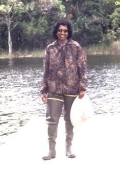 Amina Rangoonwala received her M.Sc degree in Physics from the University of Karachi, Pakistan in 1984. After immigrating to the United States in 2000, she worked as a remote sensing specialist contractor at USGS National Wetlands Research Center, Lafayette, Louisiana until becoming an employ of USGS as an Earth Science Remote Sensing Geophysicist in 2014. She has worked on projects applying hyperspectral image analysis to determine the onset and progression of vegetation decline, detection of the invasive species occurrences, and leaf optics measurements for ground base validation. Her work also involves the integration of optical and radar satellite data to map the relationship between flood inundation extent and duration and marsh condition and the development of polarimetric radar methods for mapping canopy structure. She is called to map river and storm flooding in the coastal region of the central Gulf of Mexico during emergency activations of the International Charter.
Please click only once on each video recording to view in this window.
Part 1: Introduction: Marla Stelk, Policy Analyst, ASWM
Presenter: Amina Rangoonwala, U.S. Geological Survey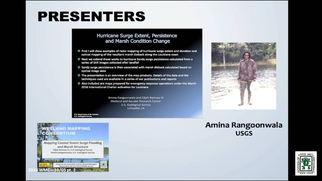
September 2016
Break
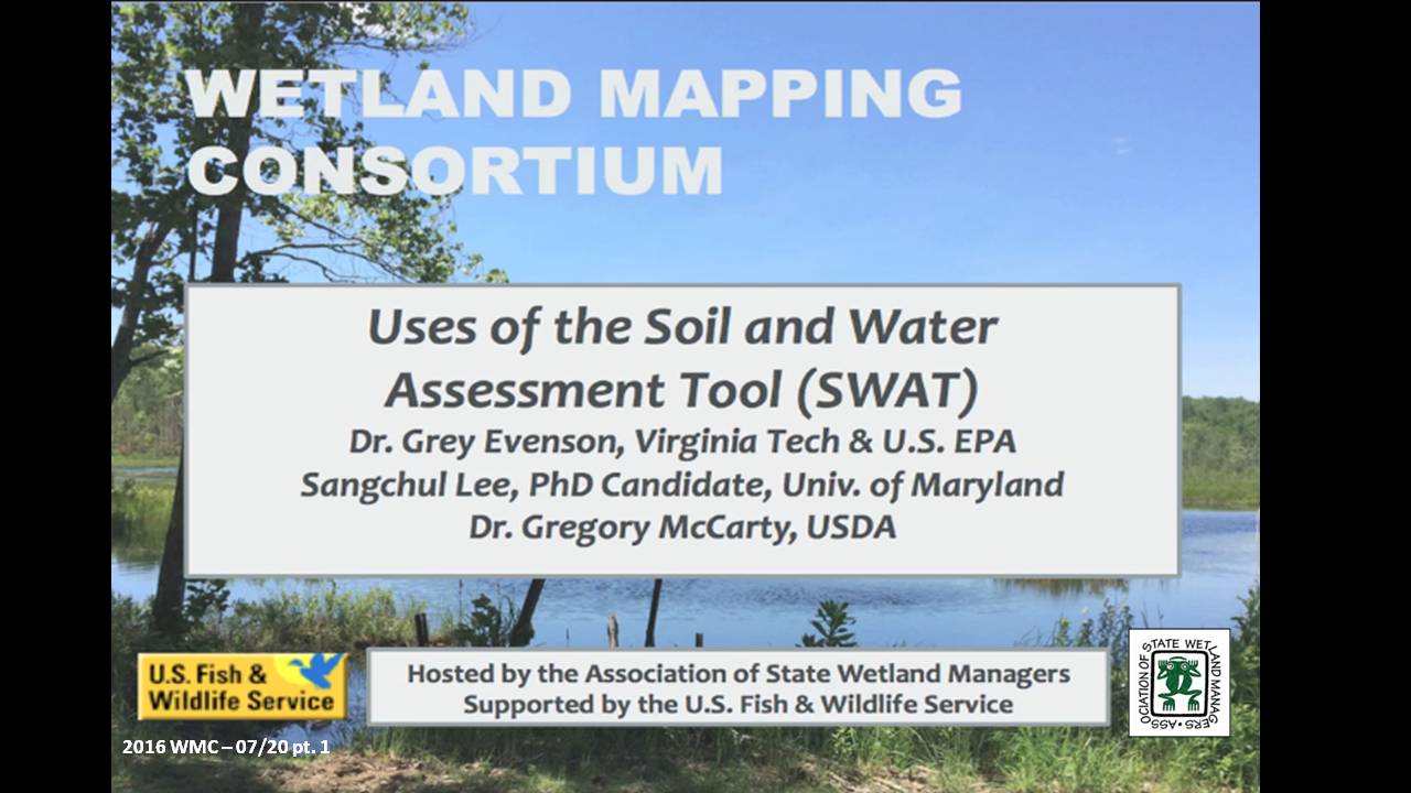
3 Part Webinar on the Soil and Water Assessment Tool (SWAT)
Held Wednesday, July 20, 2016 – 3:00pm Eastern
INTRODUCTION
- Marla Stelk, Policy Analyst, Association of State Wetland ManagerS [PRESENTATION PDF]
PRESENTERS
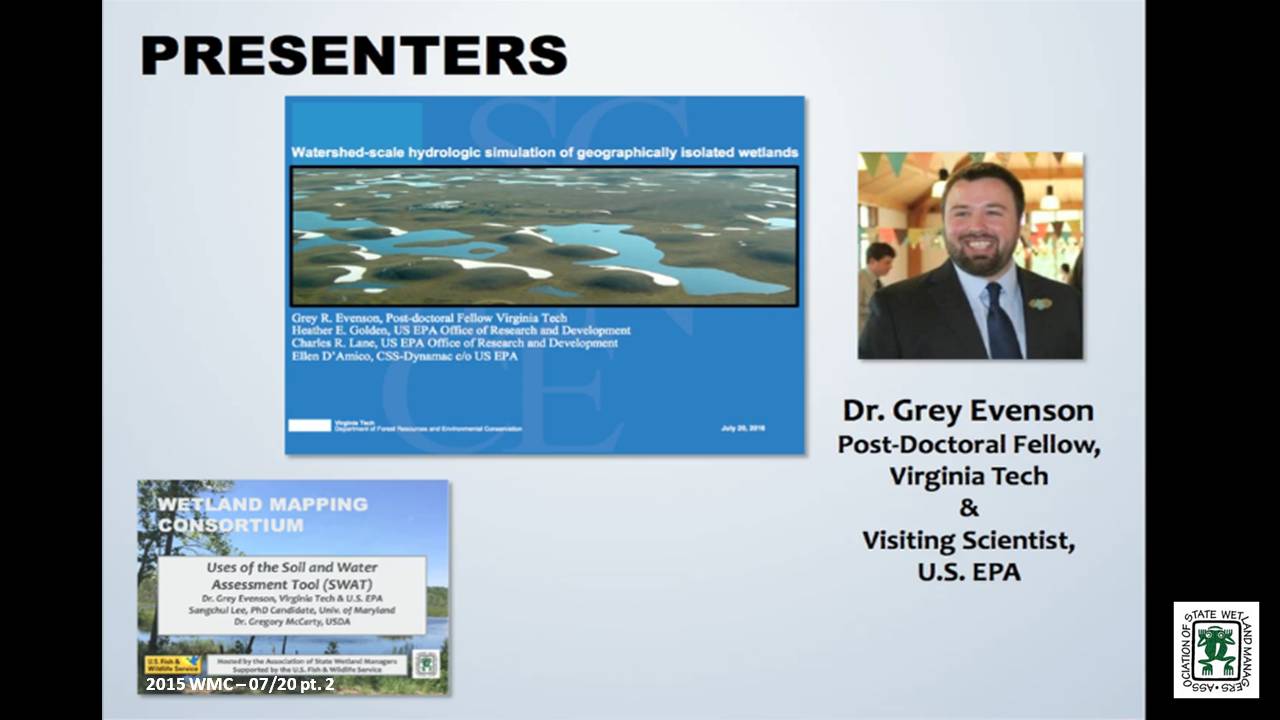
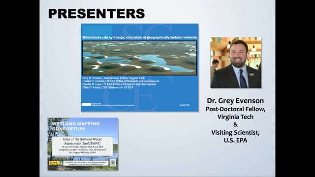
- Grey Evenson, PhD, Post-Doctoral Fellow, Virginia Tech and Visiting Scientist, U.S. EPA [PRESENTATION PDF]
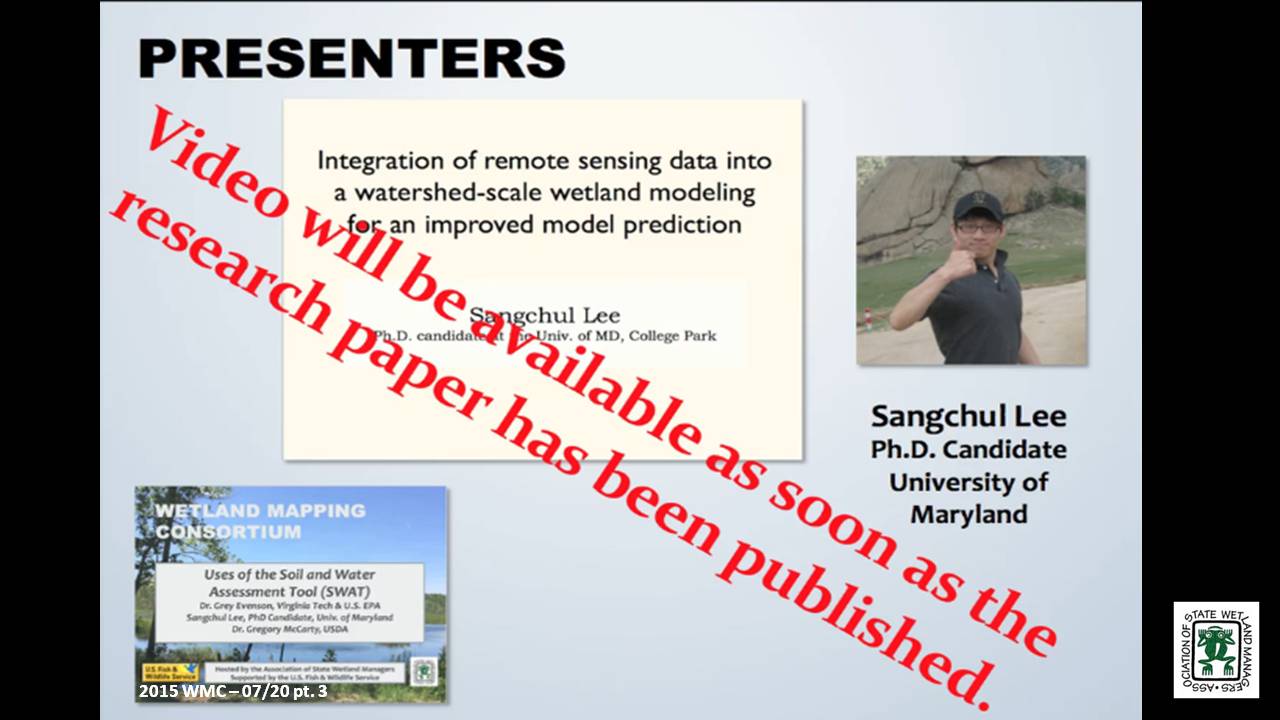
- Sangchul Lee, PhD Candidate, University of Maryland [PRESENTATION PDF]
- Greg McCarty, PhD, Research Soil Scientist, USDA [PRESENTATION PDF]
ABSTRACTS
Watershed-scale hydrologic simulation of geographically isolated wetlands: methods and preliminary results - Grey Evenson, PhD, Post-Doctoral Fellow, Virginia Tech and Visiting Scientist, U.S. EPA
Geographically isolated wetlands (GIWs), defined as wetlands surrounded by uplands, provide an array of ecosystem goods and services. Within the United States, federal regulatory protections for GIWs are contingent, in part, on the quantification of their singular or aggregate effects on the hydrological, biological, or chemical integrity of waterways regulated by the Clean Water Act (CWA). However, limited tools are available to assess the downgradient effects of GIWs. We modified the Soil and Water Assessment Tool (SWAT), a popular watershed-scale hydrologic model, to incorporate an improved representation of GIW hydrologic processes and thereby evaluate the watershed-scale hydrologic effects of GIWs on downgradient hydrology. This webinar will review (1) our approach to incorporating National Wetland Inventory (NWI) delineated GIWs into SWAT; (2) our method of re-defining SWAT Hydrologic Response Units (HRUs) boundaries to conform to the boundaries of NWI delineated GIWs while simulating fill-spill inter-GIW hydrologic flows; and (3) preliminary results from the application of our modeling approach in the ~1,700 km2 Pipestem watershed in the Prairie Pothole Region of North Dakota. Our approach to modifying SWAT may be replicated to evaluate the watershed-scale aggregate hydrologic effects of GIWs in different watersheds and physiographic regions.
Integration of remote sensing data into a watershed-scale wetland modeling for an improved model prediction - Sangchul Lee, PhD, Candidate, University of Maryland
Wetlands provide important ecological benefits for biodiversity and water quality. This ecosystem functioning highly relies on the hydrological characteristics of wetlands (e.g., hydro-period) and their connectivity to the downstream waters. Soil and Water Assessment Tool (SWAT), one of widely used watershed models, has been applied to investigate catchment-scale wetland hydrological function. However, uncertainties associated with wetland parameterization and the prediction of inundated areas have not been thoroughly assessed due to the data unavailability. Remote sensing provides synoptic information on the spatial distribution of wetland, and recent studies demonstrated improved capability to characterize wetland inundation patterns at a high resolution (30-m) using time series Landsat records and LiDAR. This study integrated remote sensing data into Soil and Water Assessment Tool (SWAT) to improve the wetland parameterization and prediction on inundated area and to assess the cumulative hydrological impacts of wetlands on the downstream water. We adopted Riparian wetland module (RWM), a SWAT extension for riparian wetlands, to simulate interactions between RWs and nearby streams. We illustrated how inundation maps (derived from satellite remote sensing) can be used to set up spatially varying wetland parameters and to assess predicted inundation at the landscape scales, considering the assumptions and simplification of wetland processes represented in SWAT. Using the Choptank Watershed as a case study, we demonstrated the hydrological benefits of wetlands to stabilize overall flow pattern and reduce peak flow at the storm event.
Role of Prior Converted Croplands on Nitrate Processing in Agricultural Landscapes - Gregory McCarty, PhD, Research Soil Scientist, USDA
Prior converted croplands (PCC) are wetlands that were drained for crop production prior to the Swampbuster provisions of the 1985 Food Security Act. Within the Swampbuster provisions, PCC’s will revert to wetlands if the land is not cropped for five years and as such they hold special status within agricultural ecosystems for conservation. Our research has found that although PCC’s are sufficiently drained for crop production, they still retain some of the biogeochemical characteristics of wetlands because of both intrinsic (soil) and extrinsic (landscape position) properties. We find evidence that the amount of nitrate exported from agricultural watersheds can be related to extent of crop production on hydric soils associated with PCCs. We hypothesize that this relationship is due to increased ability of PCC’s to process nitrate before leaching to groundwater. The SWAT model has now been successfully modified to better reflect the unique role PCC’s play in mitigating nitrate export for agricultural production systems. This work also emphasizes the need to better map the location of PCC’s in agricultural ecosystems both for conservation and for understanding the fate of agricultural nitrogen.
BIOS
 Grey R. Evenson, Ph.D. is a post-doctoral fellow with Virginia Tech’s Department of Forest Resources and Environmental Conservation and a Visiting Scientist with the US EPA’s Office of Research and Development. He specializes in the simulation of wetland hydrologic effects at larger spatial scales as well as wetland conservation and restoration planning methods. Grey completed his Ph.D. in Geography at Ohio State University in 2014. He lives with his wife and two fat cats in Columbus, Ohio.
Sangchul Lee earned his bachelor and master degree from South Korea and is working toward his PhD at the department of Geographical Sciences in the University of Maryland, College Park. He is interested in assessing the long-term impacts of winter cover crops and wetlands on agricultural watersheds using a watershed model. He integrated remote sensing data into a watershed model to better represent physical processes and improve model predictions.
Greg McCarty is a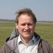 research soil scientist at the USDA ARS Hydrology and Remote Sensing Laboratory in Beltsville MD. Dr. McCarty is a recognized authority on movement and fate of carbon in agricultural landscapes. Dr. McCarty investigates biogeochemical processes affecting transformation of nitrogen and carbon in agricultural crop fields and adjacent ecosystems such as riparian buffer wetlands. He also leads the Choptank River Watershed project on the Eastern Shore of Maryland which is part of the USDA Long-term Agroecosystem Research network. With this project, conservation practices are being assessed at the watershed scale by use of a combination remote sensing and modeling.
Please click only once on each video recording to view in this window.
Part 1: Introduction: Marla Stelk, Policy Analyst, Association of State Wetland Managers
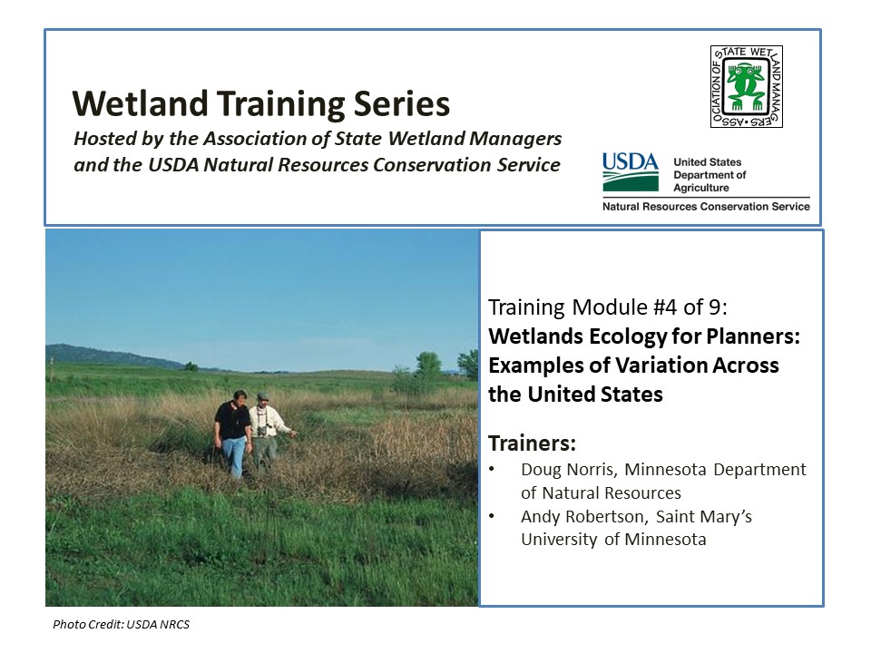
Defining Wetland Gems in North Central New Mexico
Held Tuesday, May 24, 2016 - 3:00pm Eastern
INTRODUCTION
- Marla Stelk, Policy Analyst, Association of State Wetland Managers [PRESENTATION PDF]
PRESENTERS
- Andy Robertson - Saint Mary’s University of Minnesota and Kevin Benck - Saint Mary’s University of Minnesota [PRESENTATION PDF]
ABSTRACT
Defining Wetland Gems in North Central New Mexico – Amigos Bravos and GeoSpatial Services
In a recent project, Amigos Bravos and the Western Environmental Law Center worked with GeoSpatial Services of Saint Mary’s University to identify important wetlands in the Carson National Forest of North Central New Mexico. This project utilized recently developed landscape level wetland mapping available from the New Mexico Environment Department (NMED), Surface Water Quality Bureau (SWQB). The purpose was to identify and characterize important wetland complexes in order to provide input to the U.S. Forest Service ten-year planning process and to help guide stakeholder opportunities for on-the-ground wetland management and restoration.
In order to facilitate this process, GeoSpatial Services conducted a GIS-based query and analysis exercise that resulted in the identification of key wetlands or wetland complexes within the National Forests that could be targeted for preservation, restoration and/or enhancement. These “Wetland Gems” were defined using a combination of NWI wetland boundaries, LLWW functional assessment criteria, HGM regional sub-classes and a variety of collateral spatial data layers such as SSURGO soils, NHD, cold and warm water fisheries and landcover.
Current efforts are focused on development of a methodology to quantify the total functional performance of a given wetland at three scales: the wetland mapping unit, the spatial context within a larger ecological unit (watershed), and wetland/watershed recovery priorities and management goals at some regional scale (county). While these three scales are qualitatively represented in the current Wetland Gems selection criteria, efforts are now focused on developing a scientifically credible and defensible quantitative approach.
BIOS
 Kevin Benck - Saint Mary’s University of Minnesota
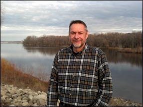
Kevin joined GeoSpatial Services as a GIS Analyst in the fall of 2013. At GeoSpatial Services, Kevin fills a variety of roles on several projects ranging from project lead to conducting GIS analysis and data development in support of on-going projects. Prior to joining GeoSpatial Services, Kevin spent over 10 years working as part of a team in the development and application of analytical and geospatial tools for ecosystem services and environmental function analysis. Kevin has a B.A. in Environmental Studies and has continued his education with post graduate coursework in hydrology, hydrogeology, and environmental geography.
 Andy Robertson - Saint Mary’s University of Minnesota
After serving as lead Project Manager for over 10 years, Andy Robertson assumed the position of GeoSpatial Services Director on June 01, 2015. In this role, Andy is responsible for oversight and management of all GeoSpatial Services projects, activities and staff. He continues to lead the management of project resources for a wide range of wetland mapping, spatial data development, and natural resource related projects as well as provide supervision and development for technical staff. Andy earned a Forest Technology Diploma from Sault College of Applied Technology in Ontario, Canada, a B.Sc. in Environmental Science from the University of Waterloo and completed post graduate work in forest management at the University of Toronto. GeoSpatial Services has been a key partner of the USFWS and has been working for over 15 years to update legacy National Wetland Inventory data nation-wide.
Please click only once on each video recording to view in this window.
Part 1: Introduction: Marla Stelk, Policy Analyst, Association of State Wetland Managers
Presenter: Andy Robertson, Saint Mary’s University of Minnesota 

Wetland Mapping Consortium Workshop Webinars
The Wetland Mapping Consortium concurrent session below were held at the Association of State Wetland Managers annual meeting on March 30th.
Working towards an Automated Wetlands Mapping Process: Successes, Failures, and Potential for the Future
Held Wednesday, March 30, 2016 - 3:30 p.m.-4:00 p.m. Eastern
PRESENTER
- Robb McLeod, Ducks Unlimited
ABSTRACT
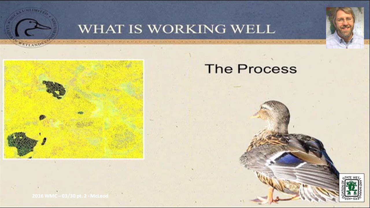
The U.S. Fish and Wildlife Service (FWS) started the operational phase of the National Wetlands Inventory (NWI) in 1979 with two main efforts: wetland mapping and wetlands status and trends. After 35 years and more than $220 million, the FWS completed the wetland mapping for the conterminous United States. Using current technology and today’s dollars, it would take approximately $260 million to remap the wetlands in the same geographic area. However, with emerging technologies and access to large amounts of remote sensing data (imagery, Lidar, Radar), there may be ways to drastically reduce the cost for mapping wetlands.
Ducks Unlimited and the Minnesota Department of Natural Resources have been utilizing semi-automated wetland mapping techniques for the Minnesota wetland mapping project. While we have made significant progress in automating some of the wetland mapping, there is still a long ways to go before a more fully automated system is developed. This presentation reviewed our system for semi-automated wetlands mapping and highlight some of the successes and failures. The presentation also looked at the potential for utilizing some of these techniques in future wetlands mapping projects.
BIO
 Robb Macleod is the National GIS Coordinator for Ducks Unlimited. He has been working for Ducks Unlimited in the GIS and Remote Sensing field for over 20 years. His current duties include corrdinating all of the geospatial activities for Ducks Unlimited. Robb has been active in mapping wetlands in the Great Lakes for over 10 years with previous experience mapping wetlands and land cover in Alaska.
Please click only once on each video recording to view in this window.
Part 1: Introduction: Marla Stelk, Policy Analyst, ASWM
Presenter: Robb McLeod, Ducks Unlimited 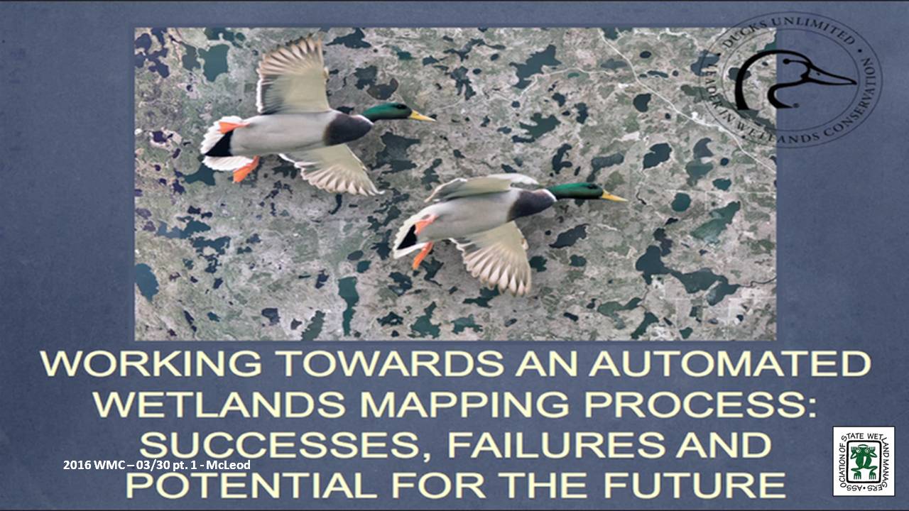
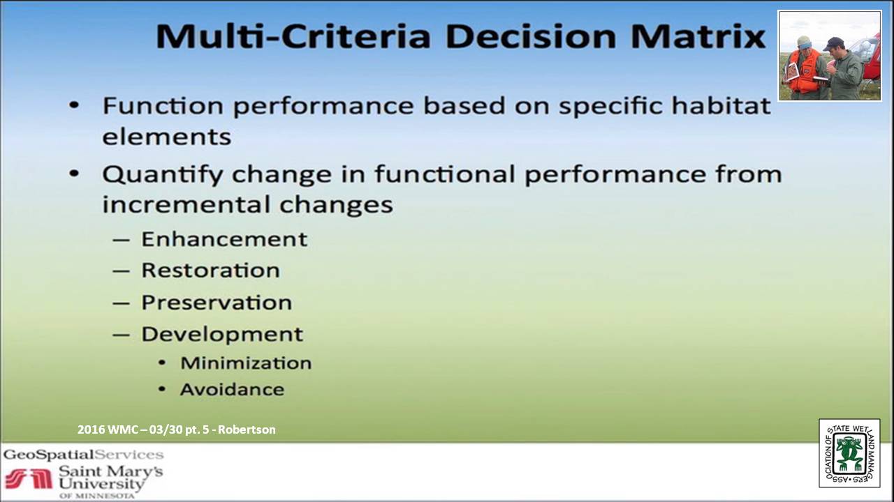
Multi-Criteria Restoration Prioritization: Applying Landscape Level Wetland Functional Assessments for Watershed Planning & Decision Support
Held Wednesday, March 30, 2016 - 4:00 p.m.-4:30 p.m. Eastern
PRESENTER
- Andy Robertson, Saint Mary's University of Minnesota
ABSTRACT
The Wisconsin Department of Natural Resources and Saint Mary’s University of Minnesota GeoSpatial Services (GSS) have recently started work on a detailed wetland functional assessment of the Marengo River Watershed within the Lake Superior Basin of Northern WI. The Marengo River has been identified as a key watershed for restoration efforts funded through the Great Lakes Restoration Initiative. Infrastructure and strong support for watershed conservation activities exists within the Lake Superior Basin Partnership, the Chequamegon Bay Partnership and the Bad River Watershed. However, some of the detailed current wetland information needed to prioritize wetland restoration and conservation is not available. This project is supplying the information needed to identify restoration opportunities at the parcel level and demonstrate how a functional assessment of existing wetlands can support prioritization of conservation opportunities. This webinar will summarize project activities to date.
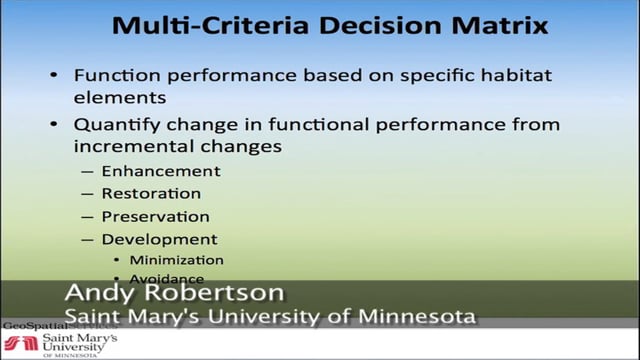
Work includes development of a feasibility matrix for evaluating wetland restoration opportunities which defines characteristics for prioritizing and directing investments in wetland restoration activity based on such factors such as: watershed needs, funding, local planning, land ownership, historic and predicted climate patterns, and PRW location. This includes the development of a list of feasibility categories such as ecological, social and economic as well as a method for comparing historic distribution of wetlands (PRW) with current wetland locations dissected by current property ownership. This will permit the compilation of contact lists for distribution of educational materials and the communication of stakeholder engagement opportunities to land owners/wetland locations that have a real opportunity to impact watershed issues. It will also provide government decision makers with data to support planning, zoning and bylaw decisions.
BIO
After serving as lead Project Manager for over 10 years, Andy Robertson assumed the position of GeoSpatial Services Director in 2015. In this role, Andy is responsible for oversight and management of all GeoSpatial Services projects, activities and staff. He continues to lead the management of project resources for a wide range of wetland mapping, spatial data development, and natural resource related projects as well as provide supervision and development for technical staff. Andy earned a Forest Technology Diploma from Sault College of Applied Technology in Ontario, Canada, a B.Sc. in Environmental Science from the University of Waterloo and completed post graduate work in forest management at the University of Toronto. GeoSpatial Services has been a key partner of the USFWS and has been working for over 15 years to update legacy National Wetland Inventory data nation-wide.
Please click only once on each video recording to view in this window.
Part 3: Presenter: Andy Robertson, Saint Mary's University of Minnesota
National Wetlands Inventory Version 2 – Surface Waters and Wetlands
Held Wednesday, March 30, 2016 - 4:30 p.m.-5:00 p.m. Eastern
PRESENTER
- Mitch Bergeson, U.S. Fish & Wildlife Service
ABSTRACT
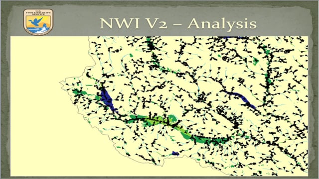
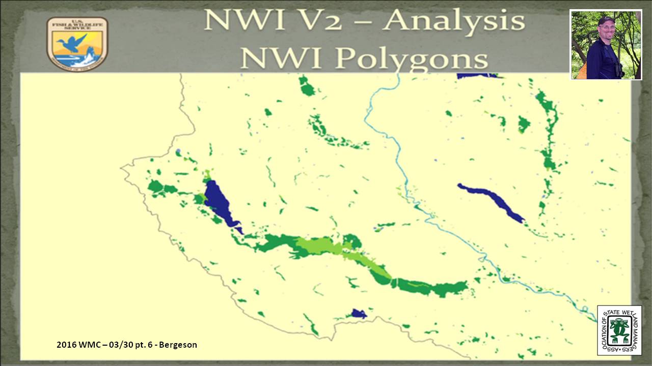
The NWI 2.0 dataset is a more comprehensive characterization of all surface water features on the landscape. It stems from the need to represent all surface waters and wetlands as polygons in a single geospatial dataset to facilitate accurate area calculations and provide consistent, standardized ecological classification to allow for adaptive management, geospatial summaries, and modeling. The NWI 2.0 has been created by retaining the wetland and deepwater polygons that compose the NWI digital wetlands spatial data layer and reintroducing any linear wetland or surface water features that were orphaned from the original NWI hard copy maps by converting them to narrow polygonal features. Additionally, the data are supplemented with hydrography data, buffered to become polygonal features, as a secondary source for any single-line stream features not mapped by the NWI and to complete segmented connections.
Due in part to how wetlands were mapped in the past, coupled with improved geospatial processing techniques, the NWI 2.0 dataset is a departure from the legacy NWI data in several ways. The NWI 2.0 depicts all surface water and wetland features in a single database; it applies the FGDC Classification of Wetlands and Deepwater Habitats (Cowardin et al. (1979), system to provide consistent ecological descriptors intended to address wetlands and water bodies; and it imparts new and improved information about wetland extent and hydrologic connectivity.
There are many opportunities to apply NWI 2.0 data to assist in resource management, planning, and strategic habitat conservation efforts. Applications include various geospatial analyses, tracing contaminant pathways through aquatic systems, identifying and prioritizing habitat restoration opportunities, examining continuity or dissection of habitat corridors, quantifying aquatic and wetland resource types, and facilitating ecological modeling.
BIO
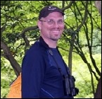 Mitch Bergeson is the Project Lead for the US Fish and Wildlife Service's, National Standards and Support Team (NSST) in Madison WI, which manages the National Wetlands Inventory database, Wetlands Mapper and the Wetlands Status and Trends Projects. Mitch has over 20 years of experience in the natural resource and geospatial fields and holds a B.S. in Biology from the University of Wisconsin - Stevens Point and an M.S. in Wildlife Ecology and Certificate Degree in GIS, both from the University of Wisconsin – Madison.
Please click only once on each video recording to view in this window.
Part 5: Presenter: Mitch Bergeson, U.S. Fish & Wildlife Service
Updated Data Collection Procedures and Requirements for Meeting FGDC Wetland Mapping Standards
Held Wednesday, February 17, 2016 – 3:00 p.m. Eastern
INTRODUCTION
- Marla Stelk, Policy Analyst,Association of State Wetland Managers [PRESENTATION PDF]
PRESENTER
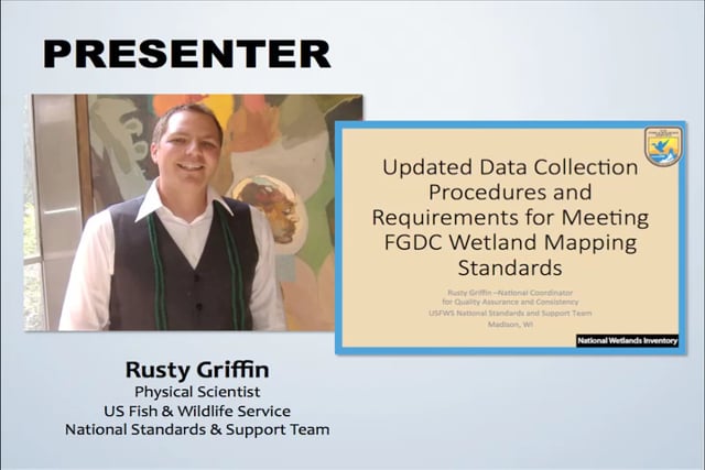
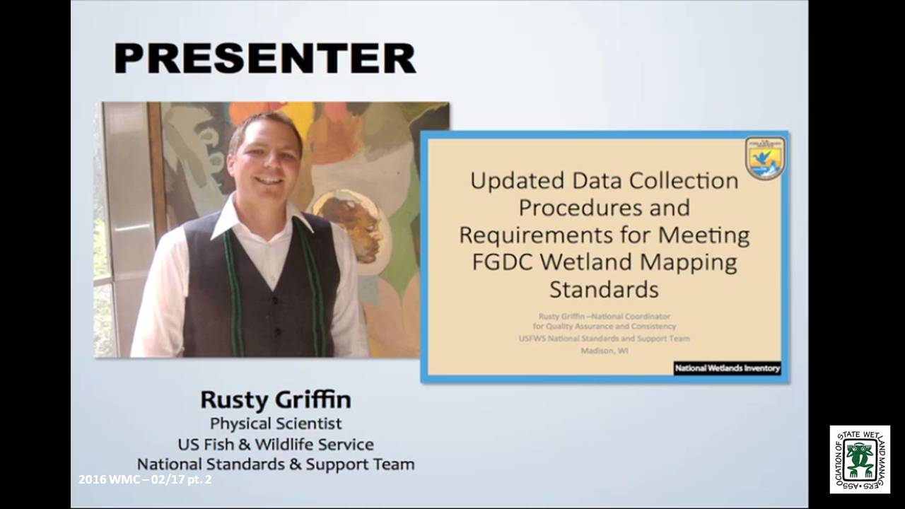
- Rusty Griffin, U.S. Fish and Wildlife Service's, National Standards and Support TeaM [PRESENTATION PDF]
ABSTRACT
In June 2015, the National Wetland Inventory updated their data collection procedures and requirements. This webinar explained the major changes to data collection and elaborates on the data requirements for submission to the national dataset. Specifically the webinar focused on new classification restrictions placed on water regimes and the updated quality control tools used to verify data consistency.
BIO
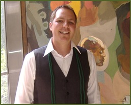 Rusty Griffin is a Physical Scientist for the U.S. Fish and Wildlife Service's, National Standards and Support Team in Madison Wisconsin. He is the National Wetlands Coordinator for the National Wetlands Inventory, responsible for quality assurance/quality control and national consistency for the wetlands layer of the National Spatial Data Infrastructure. Rusty has over 8 years of experience in wetland mapping – creating NWI maps as a private contractor and a federal employee, holds a B.S. in Geology from Portland State University, and is a member of the National Technical Committee for Hydric Soils.
Please click only once on each video recording to view in this window.
Part 1: Introduction: Marla Stelk, Policy Analyst, ASWM
Presenter: Rusty Griffin, U.S. Fish and Wildlife Service's, National Standards and Support Team
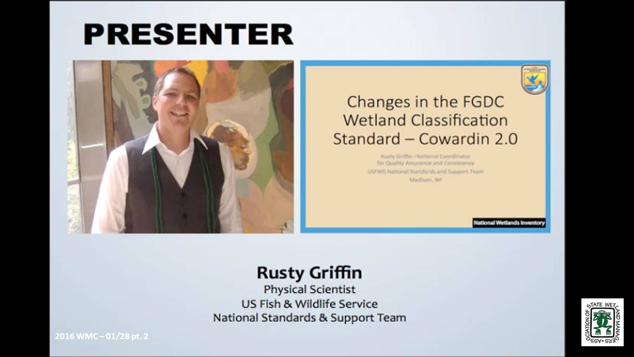
Changes in the FGDC Wetland Classification Standard – Cowardin 2.0
Held Thursday, January 28, 2016 – 3:00 p.m. Eastern
INTRODUCTION
- Marla Stelk, Policy Analyst, Association of State Wetland Managers [PRESENTATION PDF]
PRESENTER
- Rusty Griffin, U.S. Fish and Wildlife Service's, National Standards and Support Team [PRESENTATION PDF]
ABSTRACT
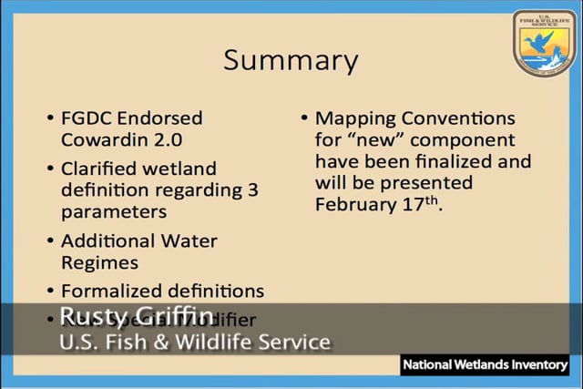
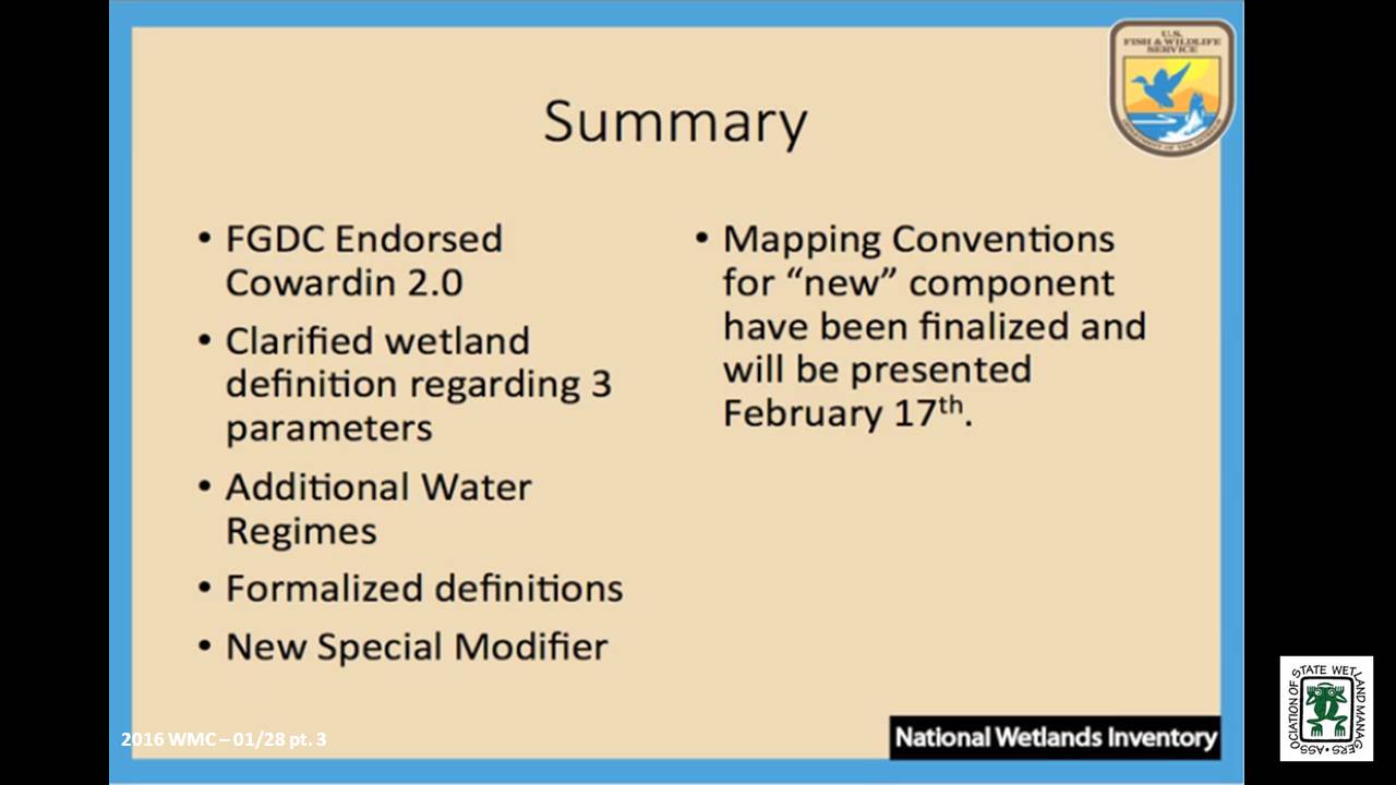
The second version of the Cowardin Classification system was adopted as the federal standard in 2013. This webinar provided an overview of the classification hierarchy and outlined the updates and revisions of this new standard. It clarifies classification breaks between systems, classes, and subclasses, specific to mapping wetlands using the FGDC’s wetland mapping standard; and also provides information regarding wetland data submission and inclusion in the national dataset.
BIO
Rusty Griffin is a Physical Scientist for the U.S. Fish and Wildlife Service's, National Standards and Support Team in Madison Wisconsin. He is the National Wetlands Coordinator for the National Wetlands Inventory, responsible for quality assurance/quality control and national consistency for the wetlands layer of the National Spatial Data Infrastructure. Rusty has over 8 years of experience in wetland mapping – creating NWI maps as a private contractor and a federal employee, holds a B.S. in Geology from Portland State University, and is a member of the National Technical Committee for Hydric Soils.
Please click only once on each video recording to view in this window.
Part 1: Introduction: Marla Stelk, Policy Analyst, Association of State Wetland Managers
Presenter: Rusty Griffin, U.S. Fish and Wildlife Service's, National Standards and Support Team
View Past Wetland Mapping Consortium Webinars
List of Past Wetland Mapping Consortium Webinar Recordings
View Upcoming Wetland Mapping Consortium Webinars
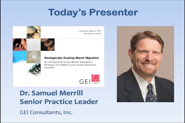
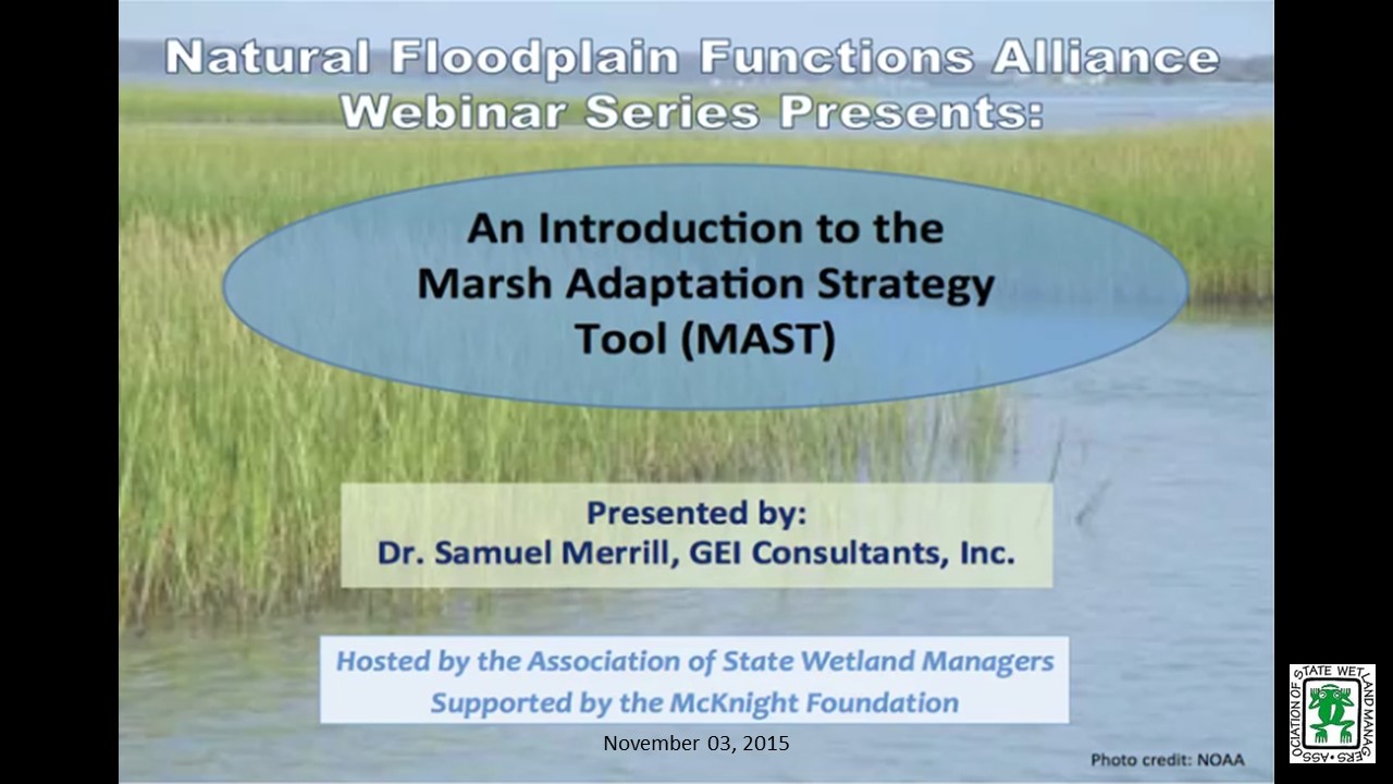
An Introduction to the Marsh Adaptation Strategy Tool (MAST)
Tuesday, November 3, 2015 – 3:00 p.m. EST
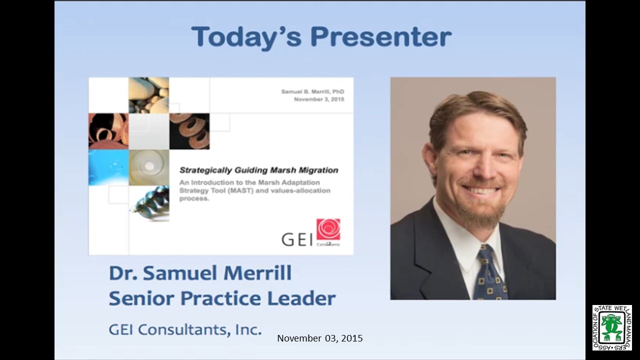
- Dr. Samuel Merrill, GEI Consultants, Inc.
ABSTRACT
Dr. Merrill will describe the Marsh Adaptation Strategy Tool (MAST) and show results from several case studies. The main principle behind the software is that as dry parcels become inundated by rising sea levels, some will convert to wetlands and may create a range of monetary and non-monetary ecosystem services. With results from online Delphi surveys where local participants assign values to candidate parcels, MAST then uses depth-benefit functions reflecting how these services will change over time on each candidate parcel, and through topographic analysis calculates cumulative benefits over time. The benefits can then be compared between parcels to help identify the best option for acquisition, restoration, or development.
Part 1: Introduction: Jeanne Christie, ASWM
Presenter: Dr. Samuel Merrill, GEI Consultants, Inc.
INTRODUCTION
- Marla Stelk, Policy Analyst, ASWM and Jeanne Christie, ASWM [PRESENTATIONS-PDF]
PRESENTERS
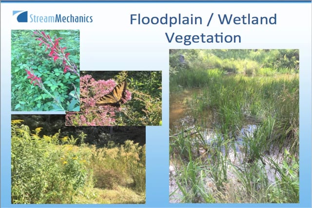
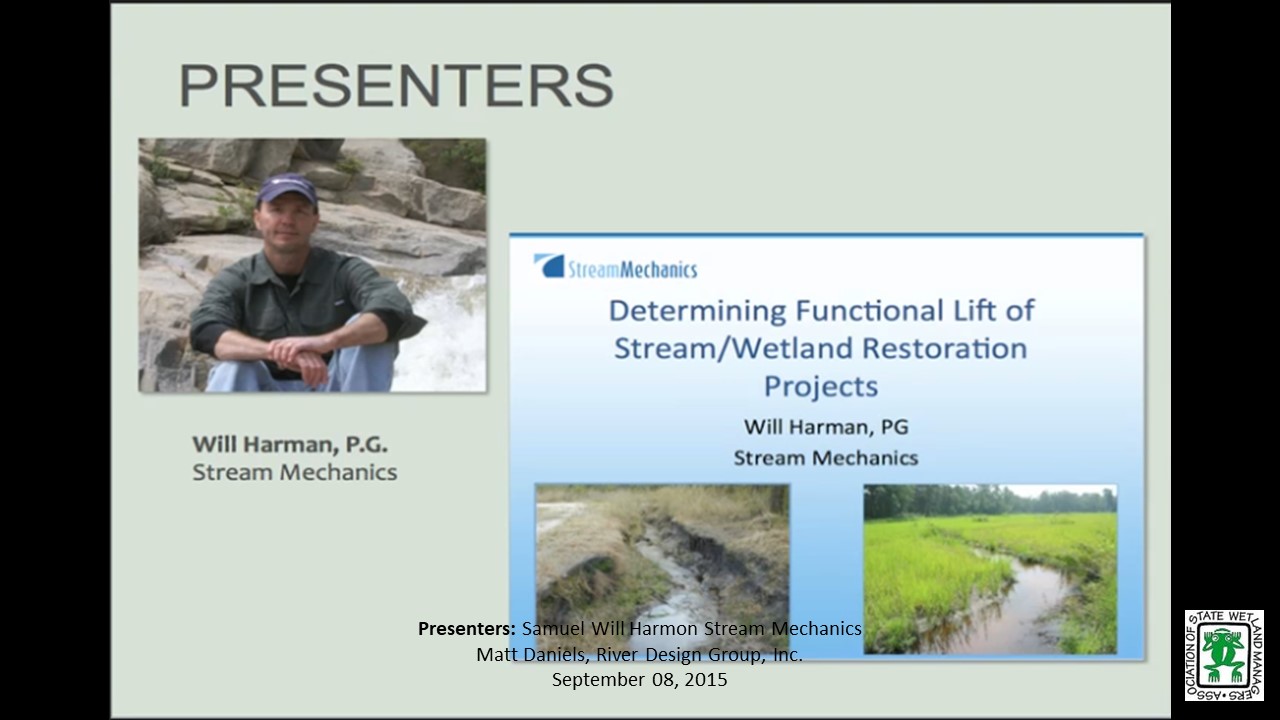
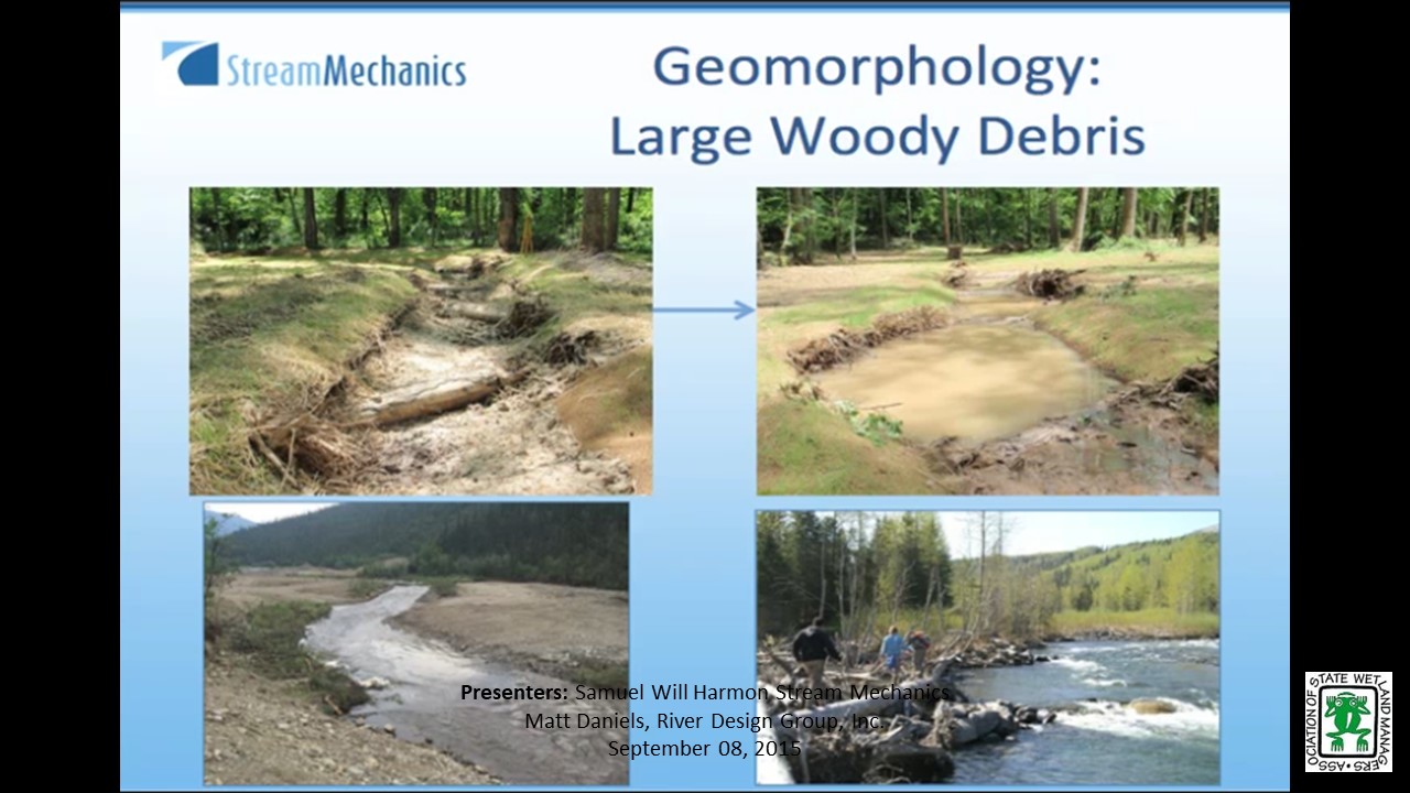
- Will Harman, Owner, Stream Mechanics
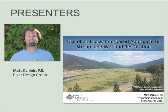
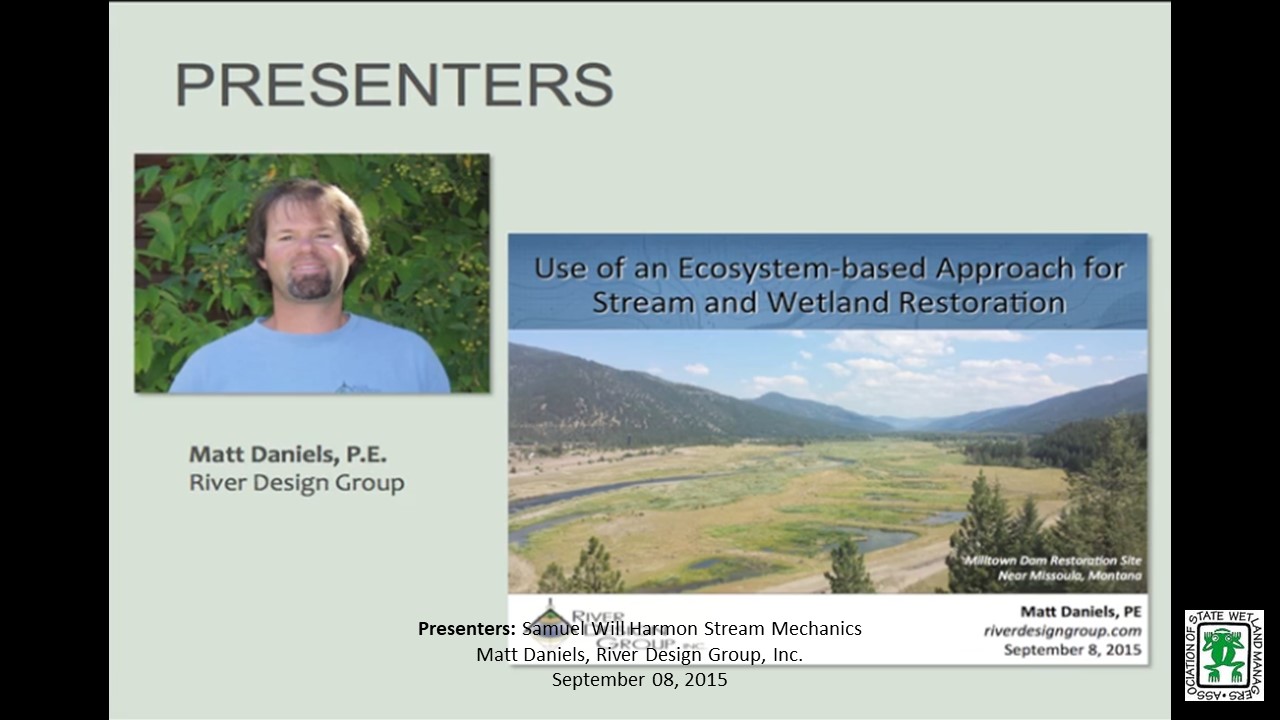
- Matt Daniels, Principal Engineer/Project Manager, River Design Group, Inc.
ABSTRACTS
Will Harman
Determining Functional Lift of Stream/Wetland Restoration Projects
As compensatory stream mitigation increases, a recognized need for debit/credit determination methods for stream/wetland combinations is also increasing. Most mitigation guidelines account for wetland and stream debits/credits separately. However, Interagency Review Teams and practitioners realize that there is value in restoring valley corridors that support riverine and wetland functions together. This presentation will illustrate how the Stream Functions Pyramid Framework can be used as one tool for describing functional lift of stream/wetland complexes. Case studies will be provided to show metrics and performance standards for showing functional lift, along with lessons learned from implementing these types of projects.
Matt Daniels
Use of an Ecosystem-based Approach for Stream and Wetland Restoration
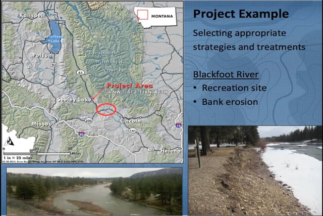
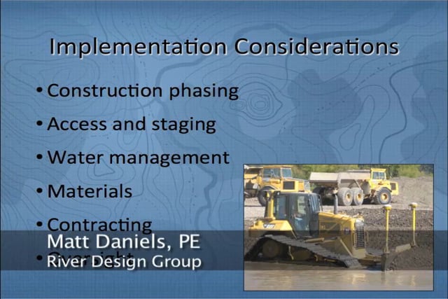
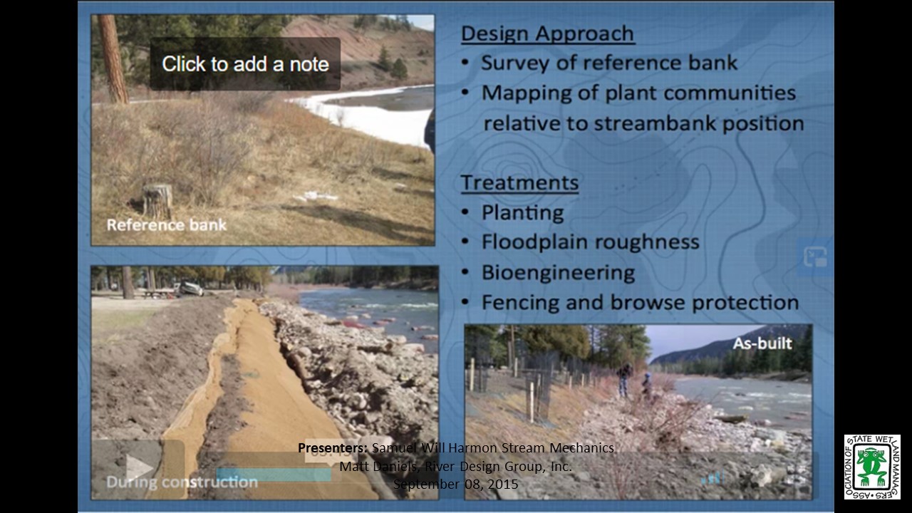
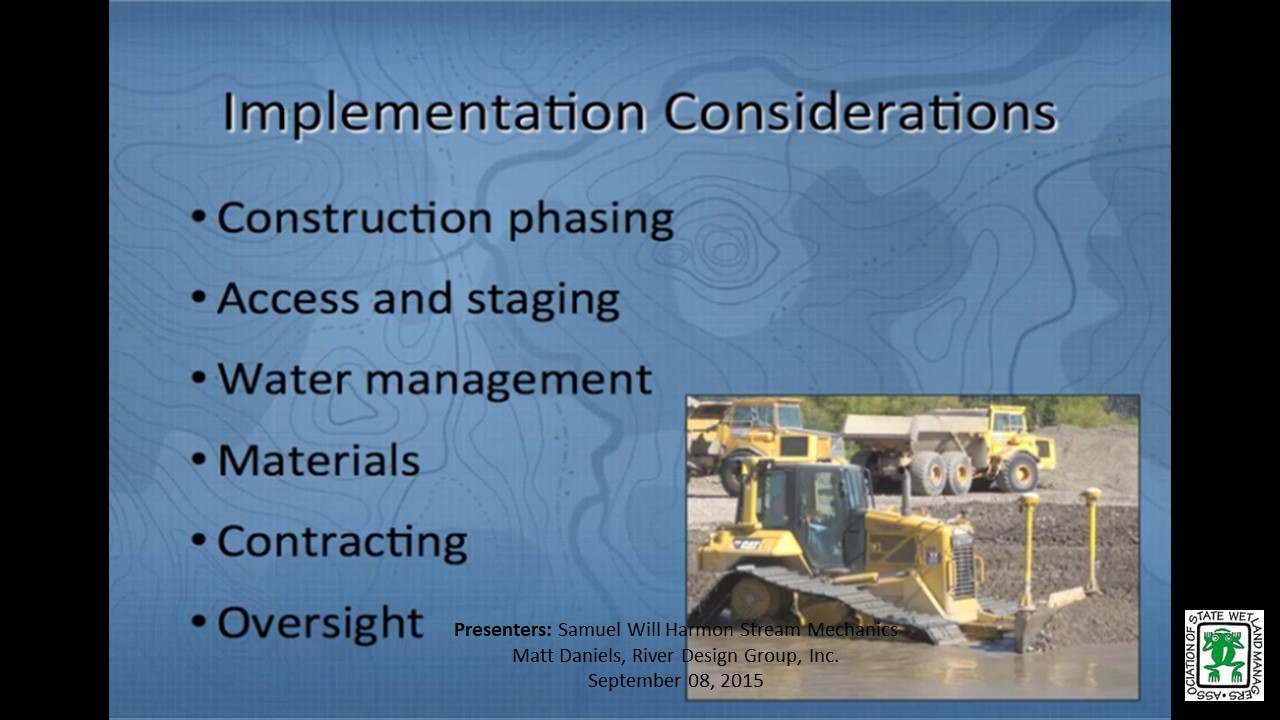
The need for stream and wetland restoration projects in the western U.S., in particular the Northern Rockies and Columbia River Basin, is often driven by different mitigation objectives than those in the eastern U.S. The effects of large hydropower dams, extensive mining in headwater streams and grazing of riparian floodplains have altered migration corridors and aquatic habitat used by native fish populations, thus contributing to the listing of several threatened and endangered fish species. Extensive research has been undertaken to improve our understanding of these species' life history needs and the ecosystems in which they exist. This presentation will describe some of the restoration challenges that are unique to the western U.S in the context of addressing stream and wetland mitigation. Example projects will be used to illustrate the use of an ecosystem-based restoration approach and to highlight some of the lessons learned.
Part 1: Introduction: Marla Stelk, Policy Analyst, ASWM and Jeanne Christie, ASWM

Managing Water Where It Falls: Green Infrastructure in Milwaukee, Wisconsin
Tuesday, July 21, 2015 – 3:00 p.m. ET
INTRODUCTION
- Marla Stelk, Policy Analyst, ASWM [PRESENTATION-PDF]
PRESENTER
- Kevin L. Shafer, Milwaukee Metropolitan Sewerage District (MMSD), Executive Director
ABSTRACT
Rainfall patterns are changing. Population and land use are changing. To keep up with this change, urban water management must adapt. Water can no longer only be managed by building bigger pipes and treatment facilities. Urban water management must evolve to an approach of managing water where it falls and consider the entire drainage area regardless of political boundaries. Green infrastructure provides an approach for managing water in our urban headwaters. Milwaukee, Wisconsin started using these approaches in 2002 and is integrating these efforts into the infrastructure fabric of the region.
Part 1: Introduction: Marla, Stelk, Policy Analyst, ASWM
Presenter: Kevin L. Shafer, Milwaukee Metropolitan Sewerage District (MMSD)
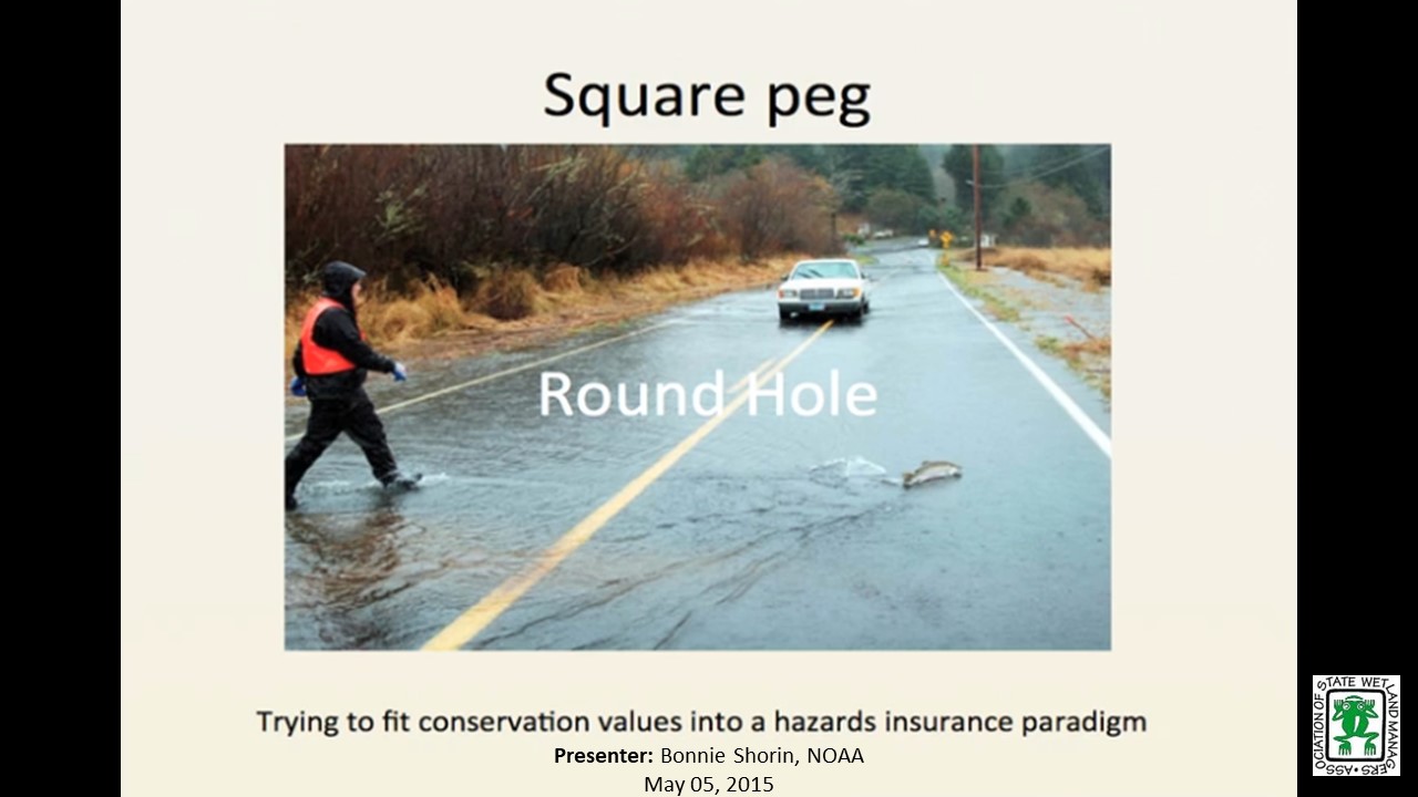
Square Peg, Round Hole –Maximizing Conservation in a Flood-Insurance Construct
Tuesday, May 5 – 3:00 p.m. EDT
INTRODUCTION
- Marla Stelk, Policy Analyst, ASWM [PRESENTATION-PDF]
PRESENTER
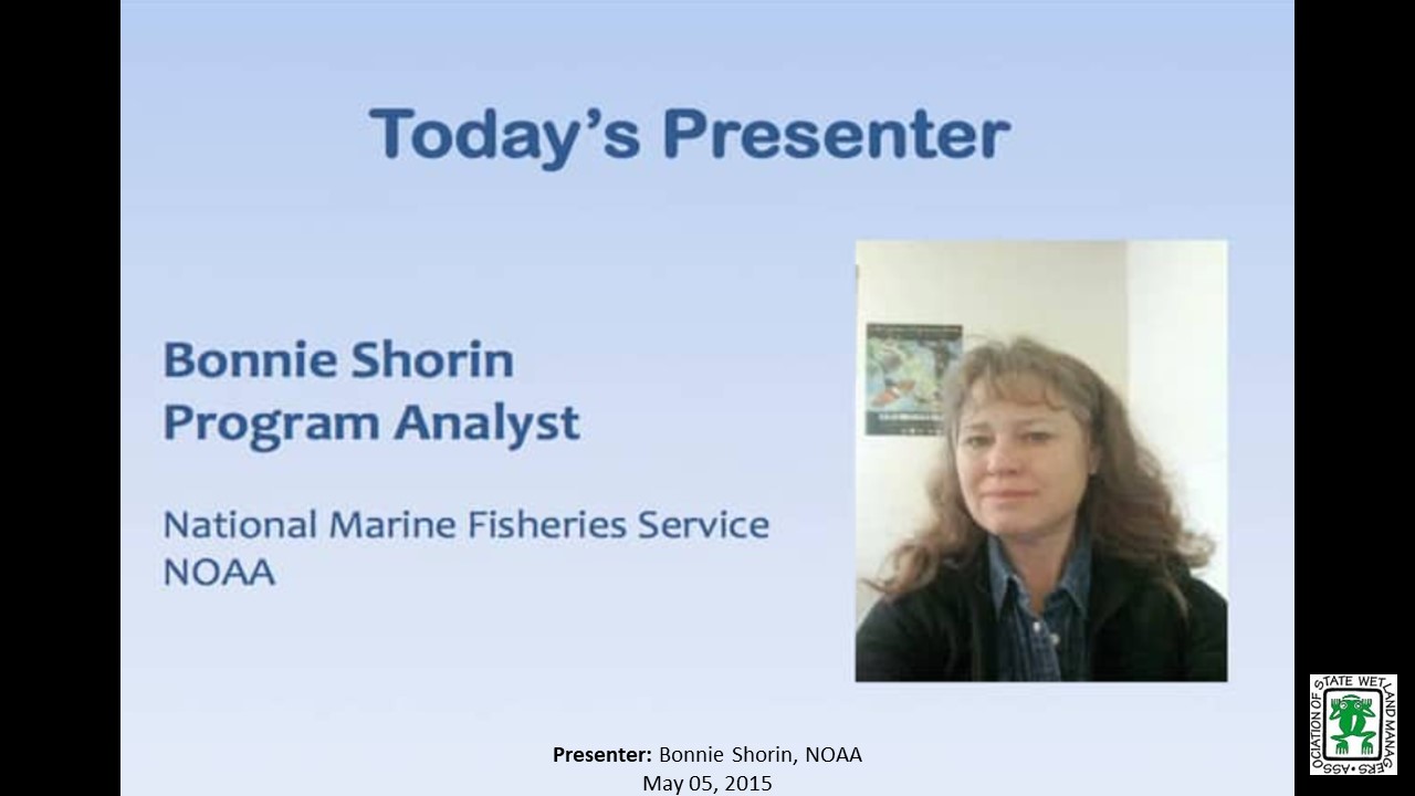
- Bonnie Shorin, NOAA
ABSTRACT
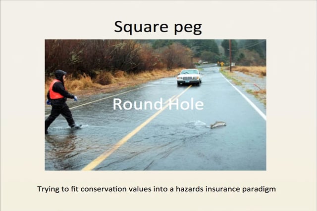
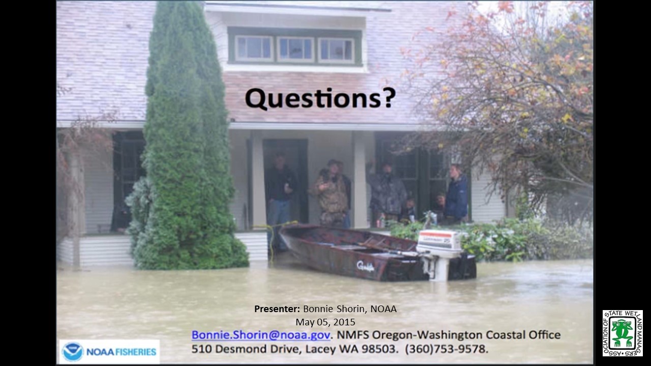
West Coast conservation issues are salmon centric. As 26 species of west coast salmon are endangered or threatened by the risk of extinction, NMFS is continually engaged in Section Seven consultations with sister federal agencies, reviewing effects of their actions on these species and their habitat. NMFS’ review of FEMA’s National Flood Insurance Program has been complex at every turn, but the outcome has been consistent: the current program is degrading critical habitat, and making species recovery more unlikely. NMFS’ challenge is to offer viable program changes to FEMA– called Reasonable and Prudent Alternatives – to reduce the NFIP’s impact on natural and beneficial functions of floodplains.
Part 1: Introduction: Marla, Stelk, Policy Analyst,ASWM
Presenter: Bonnie Shorin, NOAA
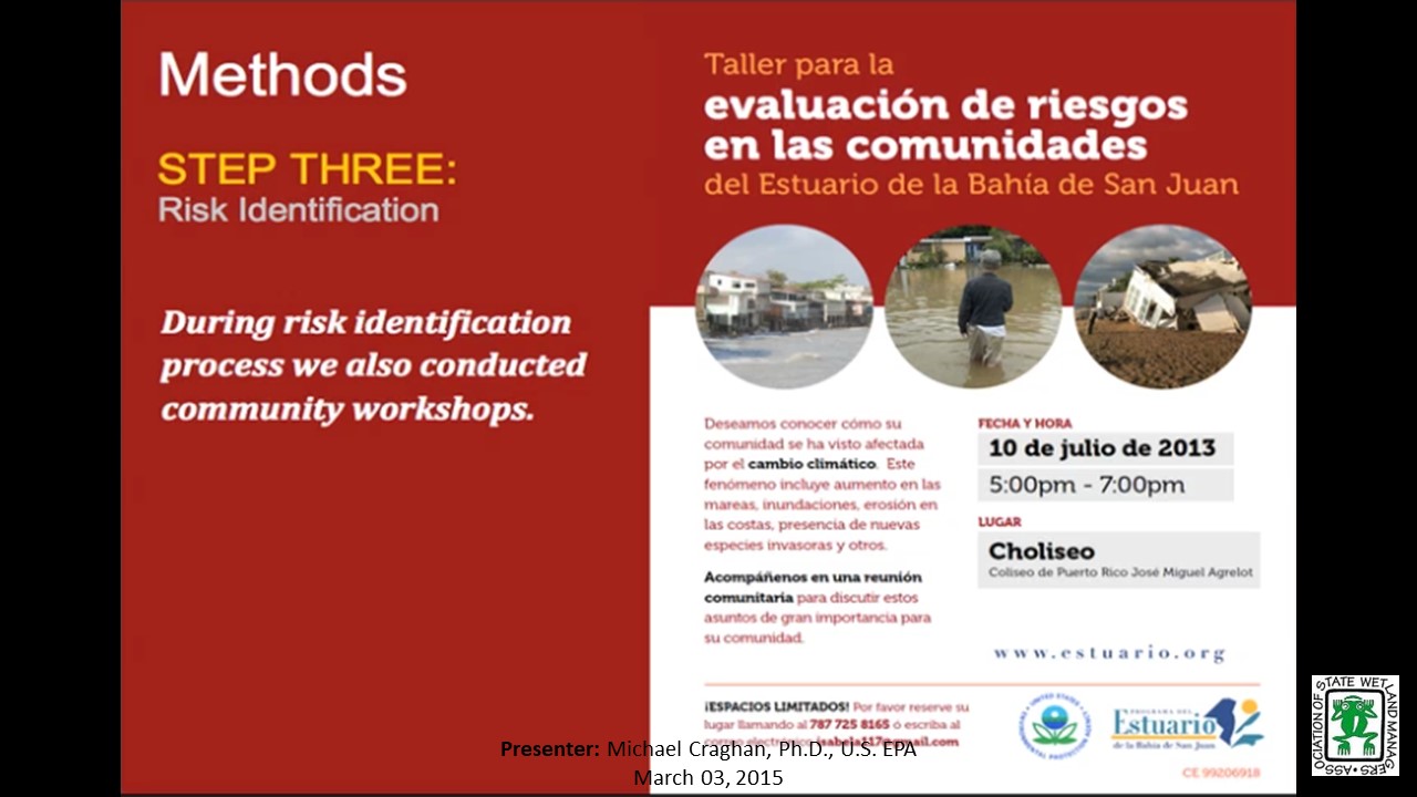
EPA Adaptation Workbook: Lessons Learned in San Juan Bay, Puerto Rico
Tuesday, March 3 – 3:00 p.m. EST
INTRODUCTION
- Marla Stelk, Policy Analyst, ASWM [PRESENTATION-PDF]
PRESENTER
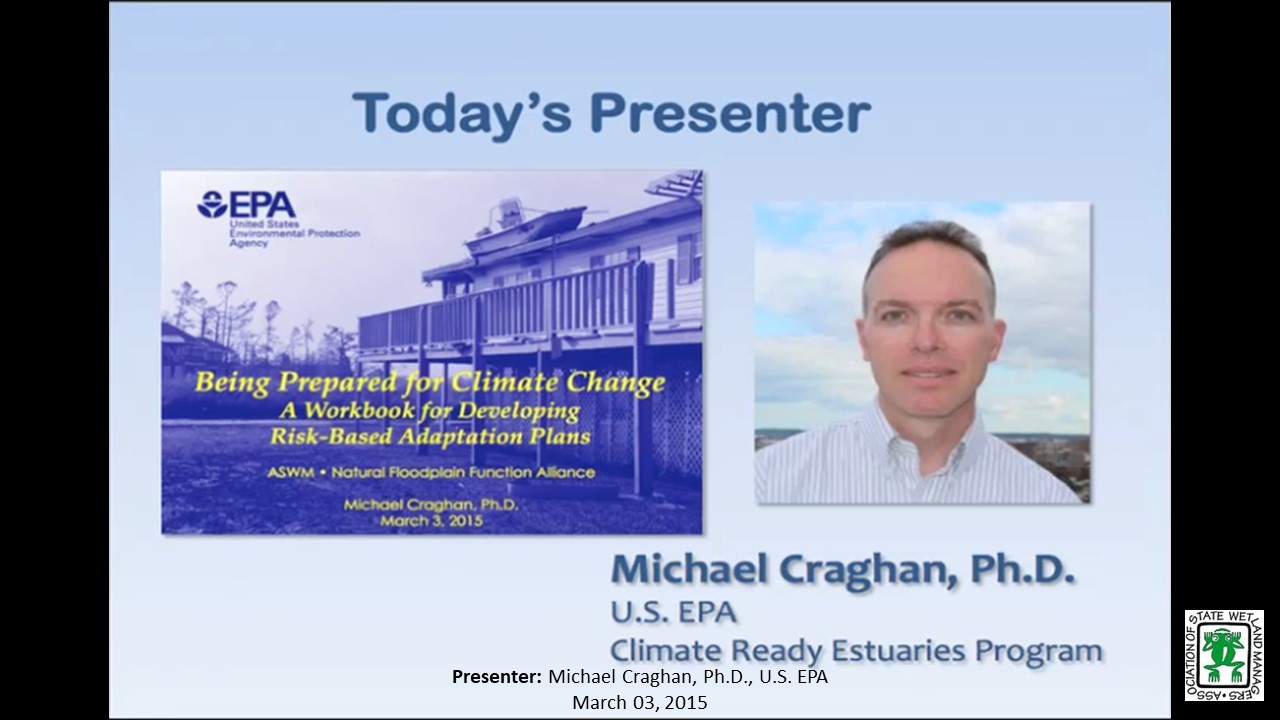
- Michael Craghan, Climate Ready Estuaries Program, U.S. EPA
ABSTRACT
EPA’s Climate Ready Estuaries published "Being Prepared for Climate Change: A Workbook for Developing Risk-Based Adaptation Plans" to provide much needed guidance for conducting risk-based climate change vulnerability assessments and developing adaptation action plans. The workbook helps users identify, analyze and prioritize climate change risks. It then guides them to address their most pressing risks and find appropriate responses. Climate change, once considered an issue for a distant future, has moved firmly into the present. By using the workbook users will be ready to protect environmental resources, public safety, and infrastructure.
Part 1: Introduction: Marla, Stelk, Policy Analyst, ASWM
Presenter: Michael Craghan, Climate Ready Estuaries Program, U.S. EPA
Rooftops to Rivers: Lessons Learned from Tulsa, Oklahoma’s Successful Floodplain Management Program
Tuesday, January 6, 2015 – 3:00 p.m. ET
INTRODUCTION
- Marla Stelk, Policy Analyst, ASWM [PRESENTATION-PDF]
PRESENTER
- Ronald D. Flanagan, CFM & Principal Planner, R.D. Flanagan & Associates, LLC
ABSTRACT
Tulsa, Oklahoma’s history is rife with stories of devastating floods, starting as far back as the early 1900’s. Due to the hard work, dedication and ingenuity of several key players, Tulsa now has an innovative floodplain management program that can be used as a model for other communities struggling with similar issues. Ronald Flanagan, CFM and Principal Planner of Flanagan & Associates, was and continues to be a leader in these efforts. Mr. Flanagan will share the story of Tulsa’s flooding history and the development of their floodplain management program and will share insights and lessons learned from his more than 35 years of experience.
Part 1: Introduction: Marla, Stelk, Policy Analyst, ASWM
Presenter: Ronald D. Flanagan, CFM & Principal Planner, R.D. Flanagan & Associates, LLC
View Past Natural Floodplain Functions Alliance Webinars
Past List of Past Natural Floodplain Functions Alliance Webinar Recordings
Thank you to all the Speakers and Participants for making the
2023 Annual meeting a great success!
|
Contacts Agenda Marla Stelk, Executive Director General Information Laura Burchill, Office Manager |
Thank you to our Sponsors
|
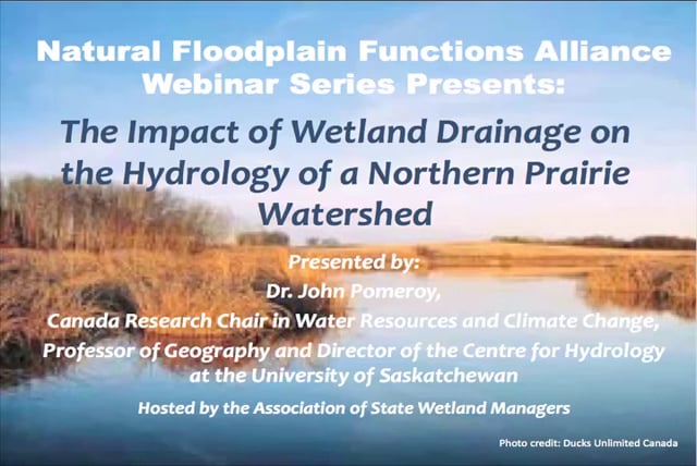
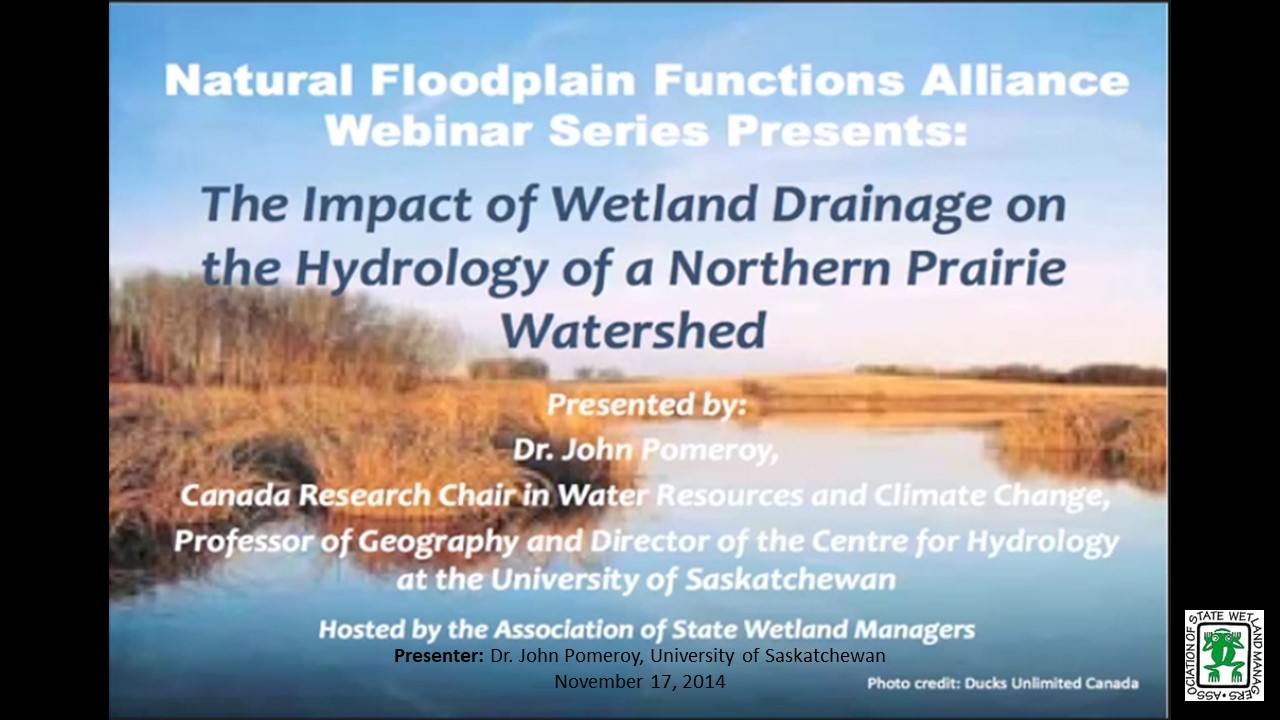
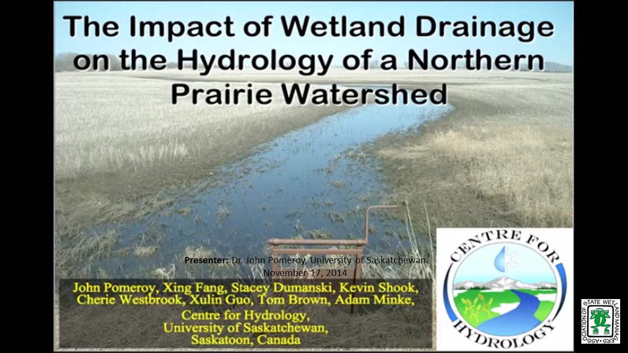
The Impact of Wetland Drainage on the Hydrology of a Northern Prairie Watershed
Monday, November 17, 2014 – 3:00 p.m. EST
INTRODUCTION
- Marla Stelk, ASWM [PRESENTATION-PDF]
PRESENTER
- Dr. John Pomeroy, Centre for Hydrology, University of Saskatchewan
ABSTRACT
The Prairie Hydrological Model simulates blowing snow redistribution, snowmelt, infiltration to frozen soils and the fill and spill of networks of prairie wetlands. The model was used to simulate the hydrology of Smith Creek, Saskatchewan, Canada with various wetland extent scenarios. This model simulation exercise shows that prairie wetland drainage can increase annual and peak daily flows substantially, and that notable increases to estimates of the annual volume and peak daily flow of the flood of record have derived from wetland drainage to date and will proceed with further wetland drainage.
Part 1: Introduction: Marla, Stelk, Policy Analyst, ASWM
Presenter: Dr. John Pomeroy, Centre for Hydrology, University of Saskatchewan

Monday, September 8 – 3:00 p.m. EDT
INTRODUCTION
- Marla Stelk, ASWM [PRESENTATION-PDF]
PRESENTER
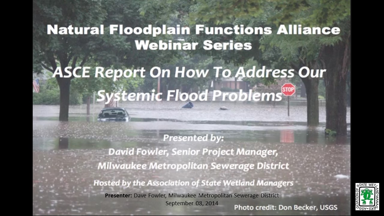
- David Fowler, Senior Project Manager, Milwaukee Metropolitan Sewerage District
ABSTRACT
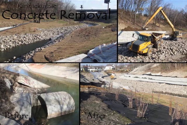
Six years ago, in the wake of Hurricane Katrina’s devastating impacts on the US Gulf Coast, the Mississippi Floods of 2011, Hurricane Irene, and Super Storm Sandy the American Society of Civil Engineers (ASCE) issued a call for action urging the nation to address the growing challenge of increasing flood losses in the US and the threat to the safety of the population that lies in the potential paths of such events. Similar reports have been issued by both governmental and non-governmental organizations since Katrina and they echoed the ASCE call.
Over the last two years, an ASCE committee examined our national response to this call for action and was charged with writing a final report and make recommendations for approval by the ASCE board. This committee visited many communities and reached out to government and nongovernmental organizations across the country, hosted a national flood risk summit and carefully examined lessons learned in post Katrina floods to include superstorm Sandy. It was clear to the committee that while some progress has been made, in general, the flood challenge continues to receive scant attention and much remains to be accomplished to safeguard the wellbeing of people and property at risk. If the devastating impacts of Super-Storm Sandy and the losses sustained in floods and hurricanes since Katrina were to be used as the measures of progress, the nation has failed to heed the call.
Ignoring the challenge will not cause it to go away. America is a compassionate nation, and we will respond to citizens in crisis. How we act now is the difference between proactively minimizing the impacts of potentially life changing events – building resilience, versus reactively recovering from catastrophic events and failing to heed the lessons we have learned. A failure to act today will have enormous future consequences. The call for action must once again be sounded!
Part 1: Introduction: Marla, Stelk, Policy Analyst, ASWM
Presenter: David Fowler, Senior Project Manager, Milwaukee Metropolitan Sewerage District
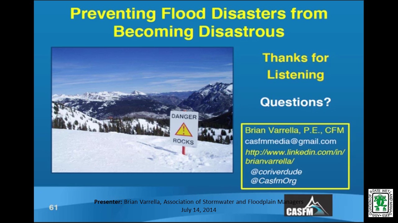
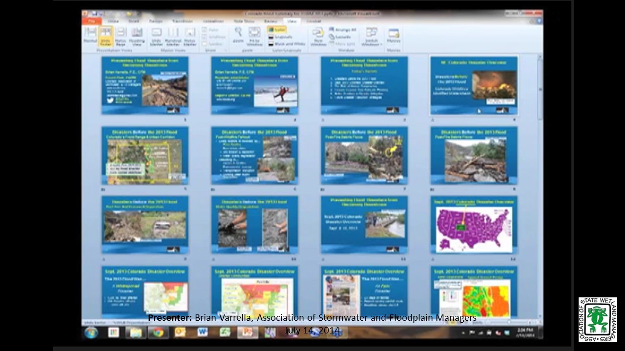
Preventing Flood Disasters from Becoming Disastrous
Monday, July 14, 2014 – 3:00 p.m. EDT
INTRODUCTION
- Marla Stelk, ASWM [PRESENTATION-PDF]
PRESENTER
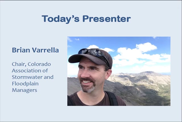
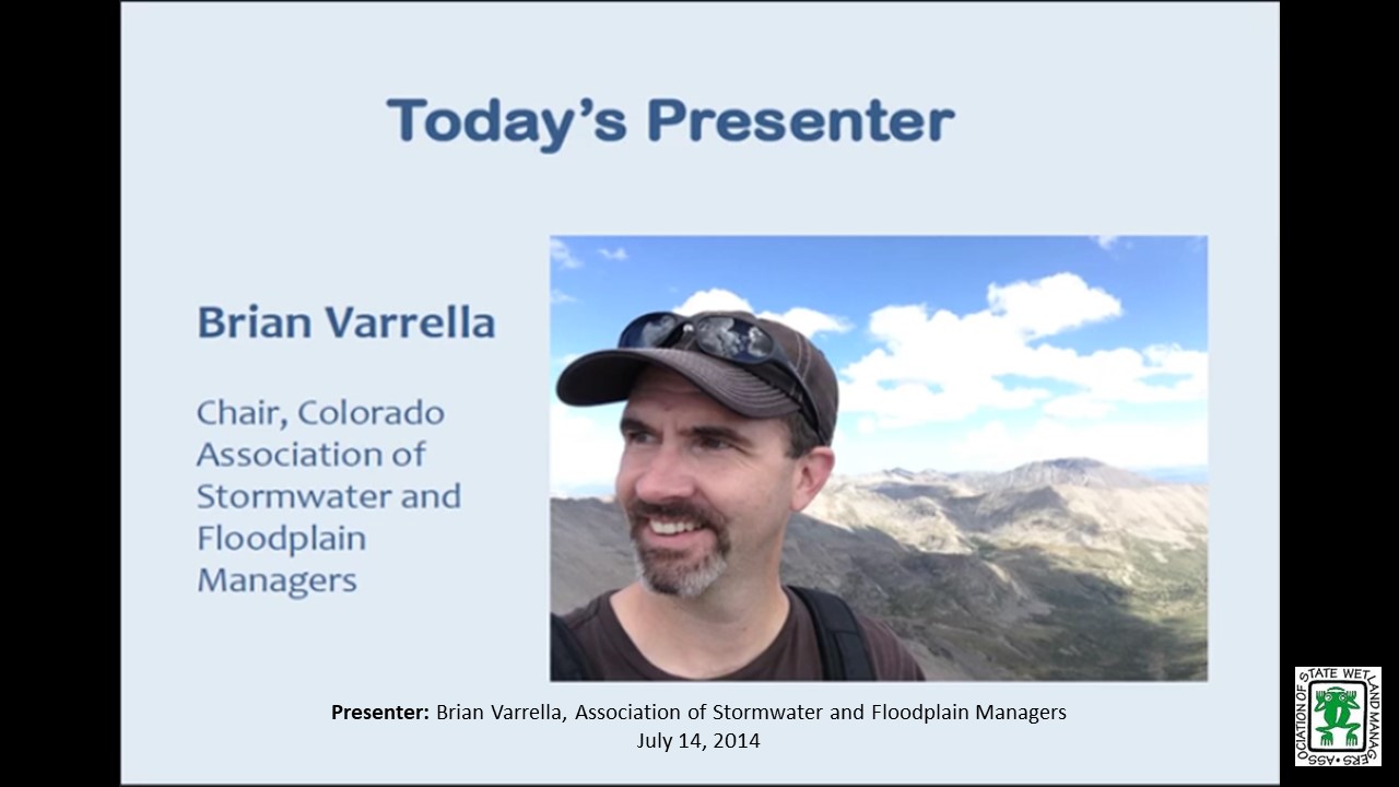
- Brian Varrella, Chair, Colorado Association of Stormwater and Floodplain Managers
ABSTRACT
Colorado experienced epic flooding in September 2013. The floods affected a region of more than 1,500 square miles, much of it in the pristine watersheds at the foot of the Rocky Mountains. It took only 4 days for a quarter of Colorado to be declared a Disaster Area; a declaration that arrived, for some, before the rains even dissipated. The environmental, economic and social devastation from this regional flood event will take years to recover, and as Colorado learns new lessons from old best practices, new policies, new standards, and new philosophic approaches to asset management are being developed.
The 1-hour webinar prepared by the Colorado Association of Stormwater and Floodplain Managers (CASFM.org) will explore the depth and breadth of the Colorado 2013 Disaster experience. Join the Chair of CASFM as he explores the fallacy of freeboard, the benefits of resource buffers, and the hindsight lessons learned from a $3 billion natural disaster.
Part 1: Introduction: Marla, Stelk, Policy Analyst, ASWM
Presenter: Brian Varrella, Chair, Colorado Association of Stormwater and Floodplain Managers
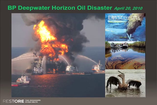
Restoration of the Mississippi Delta in a Post-BP Oil Spill Environment
Monday, May 12, 2014 – 3:00 p.m. EST
INTRODUCTION
Marla Stelk, ASWM [PRESENTATION-PDF]
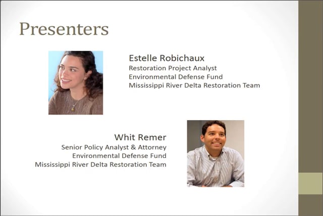
PRESENTERS [PRESENTATION-PDF]
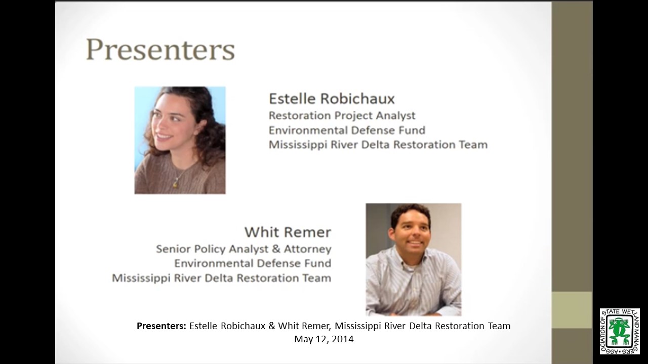
- Estelle Robichaux, Restoration Project Analyst, Mississippi River Delta Restoration Team
- Whit Remer, Senior Policy Analyst & Attorney, Mississippi River Delta Restoration Team
ABSTRACT
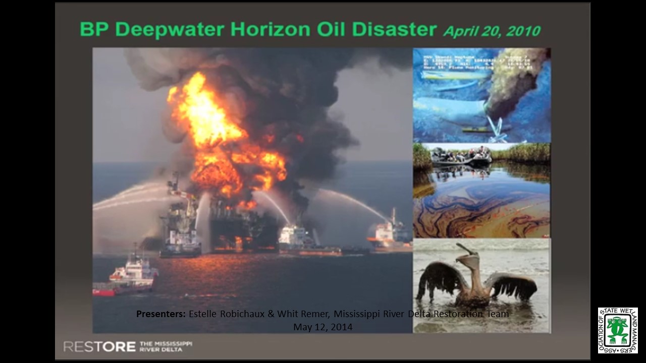
Restoration of coastal Louisiana – particularly of the Mississippi River Delta and its estuaries – has been an issue of local and scientific concern for decades. Louisiana’s coastal wetlands are a first line of defense for coastal and ecological communities, mitigating risk from hurricanes and other disasters. The region garnered national attention after the devastation wreaked by Hurricane Katrina and the Gulf oil disaster, which highlighted longstanding issues of wetland loss and degradation in the area.
When the BP oil spill trial, settlements and assessments are completed, billions of dollars will be directed to the Gulf Coast for restoration. With this promise of initial funding for the large-scale restoration program set out by Louisiana’s Coastal Master Plan (CMP), there is hope that the vital Mississippi River Delta landscape will soon be on the road to recovery. NFFA members will gain insights into the development of the CMP, including the science of sediment diversions to build and sustain wetlands, and sources of funding for restoration implementation.
Part 1: Introduction: Marla, Stelk, Policy Analyst, ASWM
Presenter: Estelle Robichaux, Restoration Project Analyst
Beyond the 100-year floodplain: Experiences in European floodplains under the Flood Directive
Monday, March 10 – 3:00 p.m. EST
INTRODUCTION
- Marla Stelk, ASWM [PRESENTATION-PDF]
PRESENTERS
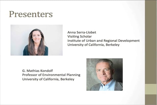
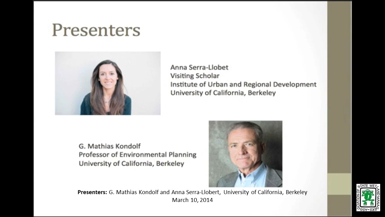
- Anna Serra-Llobet, Visiting Scholar Institute of Urban and Regional Development, University of California, Berkeley
- G. Mathias Kondolf, Professor of Environmental Planning, University of California, Berkeley
ABSTRACT
While the US was ahead of Europe as a whole in floodplain mapping through the 20th century, EU member states have arguably pulled ahead of the US in some significant ways since adoption of the EU Flood Directive in 2007. Among the Directive’s many components, its flood mapping requirements include not only a ‘moderate’ flood (typically Q100), but also larger, infrequent floods, and the ‘natural’ floodplain area that would be flooded in the absence of levees and other structures. Due to Brussels at the end of 2013, as these maps become available they provide examples of alternative approaches to floodplain mapping and risk communication.
Part 1: Introduction: Marla, Stelk, Policy Analyst, ASWM; Presenters: Anna Serra-Llobet, Univ. of California, Berkeley and G. Mathias Kondolf, Univ. of California, Berkeley
This NFFA webinar included two presentations which focused on FLDPLN Model Applications.
Monday, January 13, 2014 – 3:00 p.m. EST
INTRODUCTION
- Jeanne Christie, ASWM [PRESENTATION-PDF]
PRESENTERS
- Jude Kastens, Kansas Applied Remote Sensing Program, Kansas Biological Survey [PRESENTATION-PDF]
- Jeff Neel, Kansas Alliance for Wetlands and Streams [PRESENTATION-PDF]
Jude Kastens
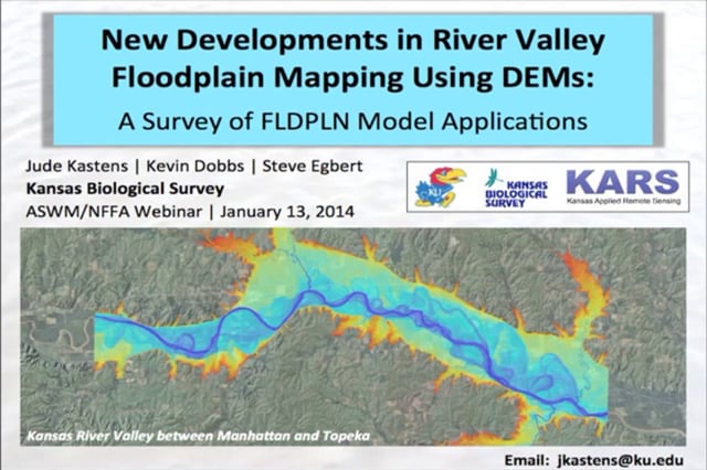
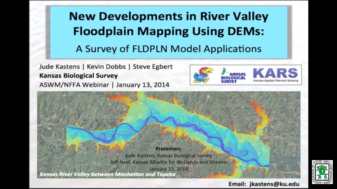
Part 1: New Developments in River Valley Floodplain Mapping: A Survey of FLDPLN Model Applications
ABSTRACTS
Researchers at the Kansas Biological Survey (KBS) developed a topographic floodplain model (FLDPLN) that has been used to map floodplains for many rivers and stream networks using simple hydrologic flow principles. The stage-dependent inundation library output from FLDPLN can be used for flood extent and depth estimation and hydrologic connectivity indexing. Model outputs have applications for river valley morphology assessment, ecological modeling, and flood disaster response mitigation and damage assessment, and can also facilitate traditional hydraulic studies. We will highlight KBS research on floodplain wetlands and riparian areas and real examples of flood extent estimation, in addition to other applications.
Jeff Neel
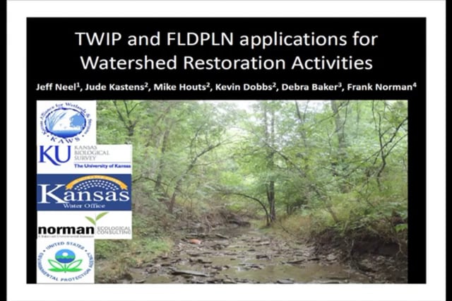
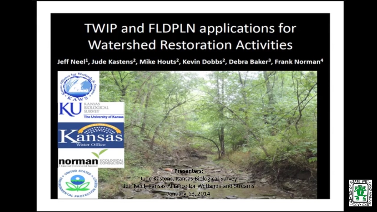
Part 2: TWIP and FLDPLN Applications for Watershed Restoration Activities
TWIP and FLDPLN products have excellent potential applications for watershed restoration assessment, design, planning, and implementation activities. TWIP identifies potential and actual wetland locations based on the underlying topography and hydrology. FLDPLN creates stage-dependent floodplain extent libraries useful for examining recurrent connective relationships between floodwaters and floodplain features such as wetlands and riparian areas. Together, these tools may be used to identify opportunities to increase watershed flood storage and infiltration, modulate peak runoff and stream flows, restore stream channels and their floodplain connections, and better understand the state of stream evolutionary processes throughout a watershed.
Part 1a: Introduction: Jeanne Christie, ASWM; Presenter: Jude Kastens, Kansas Applied Remote Sensing Program, Kansas Biological Survey
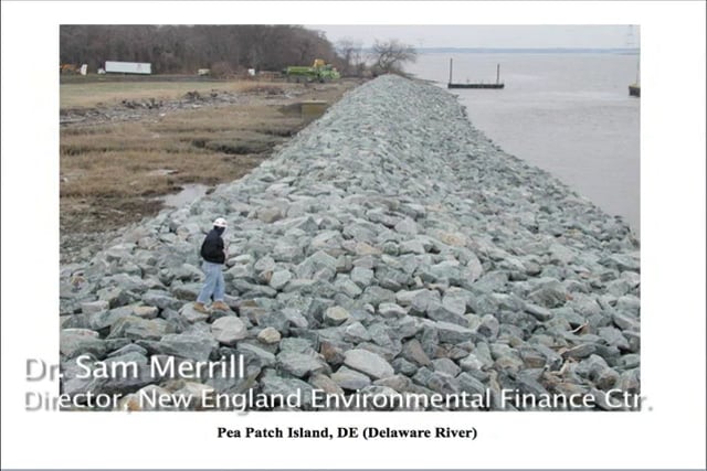
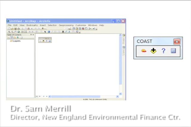
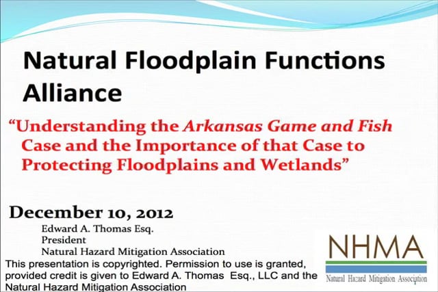
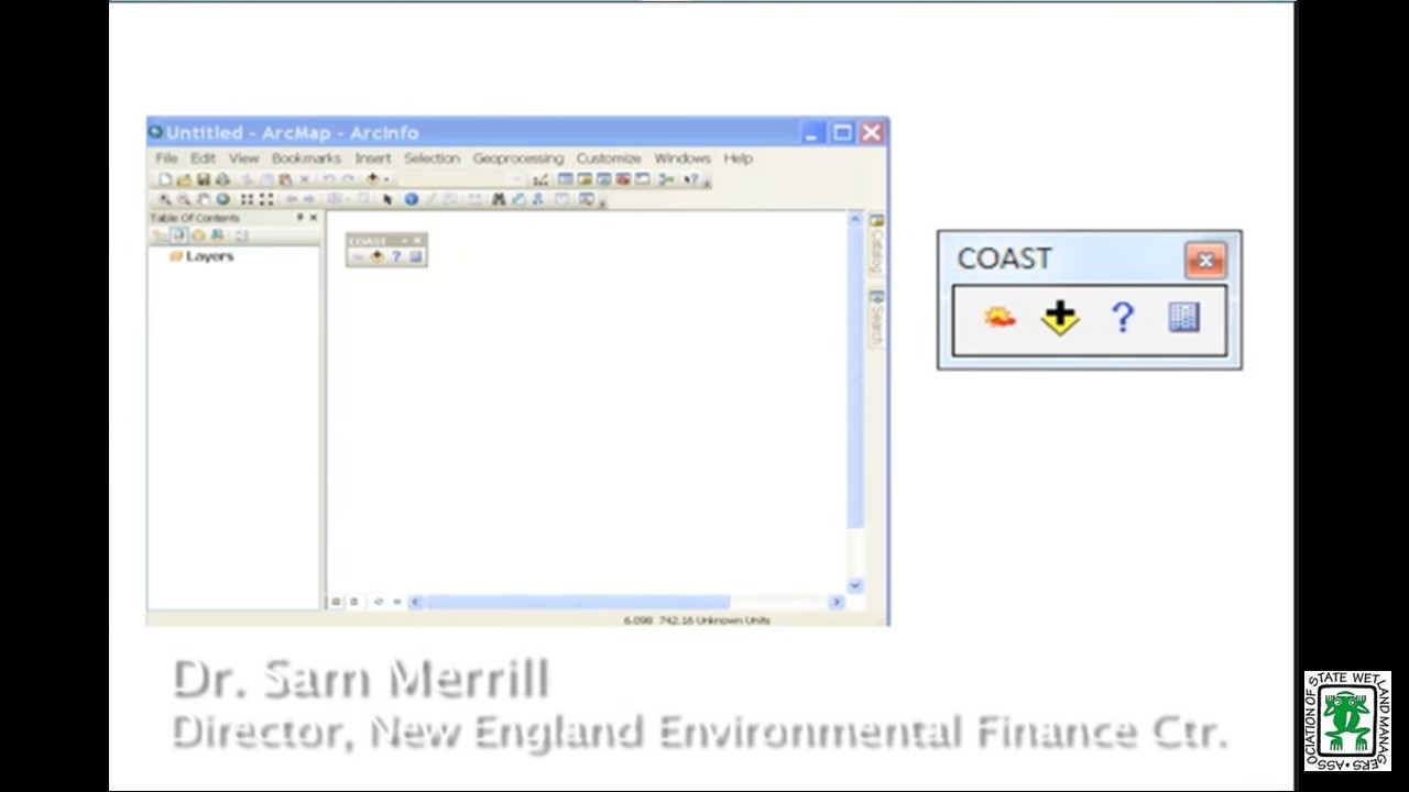
Coastal Adaptation to Sea Level Rise Tool (COAST)
Monday, December 10, 2012 – 3:00 p.m. EST
INTRODUCTION
- Jeanne Christie, ASWM
PRESENTERS [PRESENTATION-PDF]
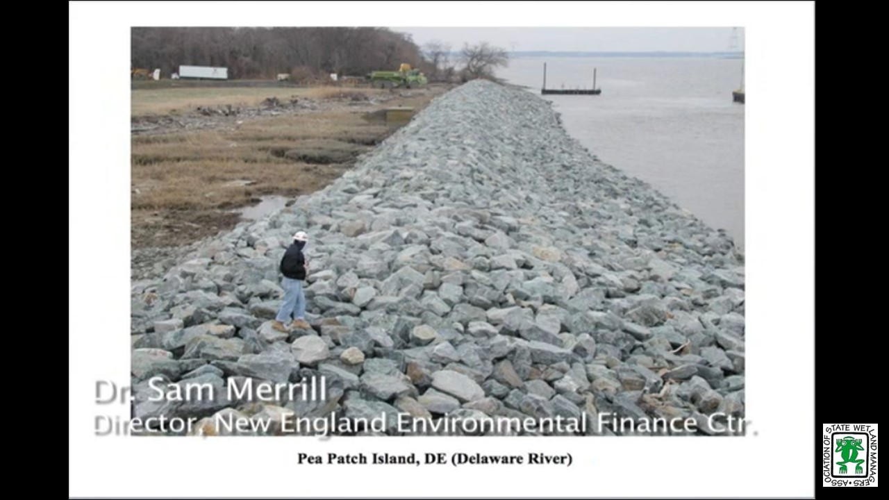
- Sam Merrill, New England Environmental Finance Center
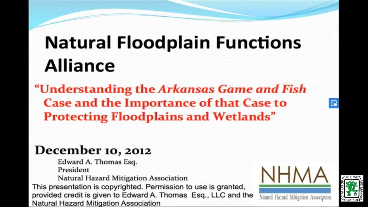
- Ed Thomas, Esq., Natural Hazards Mitigation Association
Part 1: Introduction: Jeanne Christie, ASWM
Presenter: Sam Merrill, New England Environmental Finance Center
Thinking Outside the Box Culvert Understanding Flood Management and Natural Floodplain Mitigation
Tuesday, October 9, 2012 – 3:00 p.m. EST
INTRODUCTION
- Jeanne Christie, ASWM
PRESENTER
- David C. Fowler CFM, Milwaukee Metropolitan Sewerage District & ASFPM [PRESENTATION-PDF]
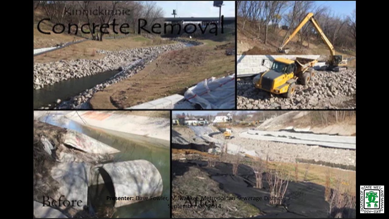
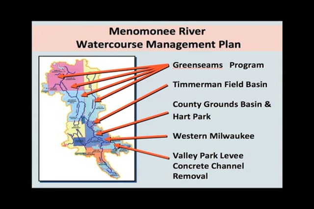
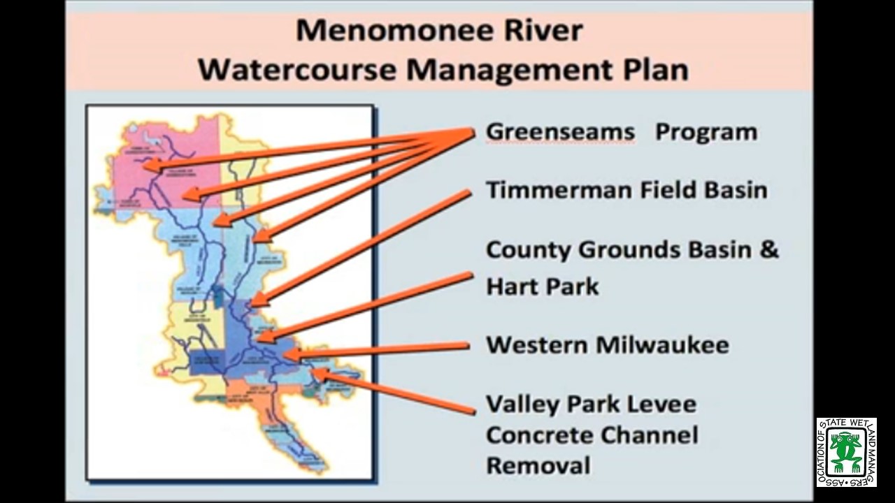
Floodplain management, for too long has been focused on structural flood damages with little consideration to the cultural, economic or environmental effects of a selected “flood control” strategy. Too often the dominant flood control strategy was to confine the river to a predefined channel size and capacity that maximized the availability of land for development or agriculture. This results in the river channel serving a simple utilitarian role as a conveyance structure to remove unwanted excess water as rapidly as possible. Efficiency in water transport was the ultimate goal, and this resulted in structural interventions being constructed at the expense of the natural system.
Impacts from structural flood control projects have resulted in both short term and long term consequences on the functioning of the natural drainage system (floodway and floodplain). Mitigation of these impacts and planning for future flooding (stormwater management) must be part of the design in an economically and environmentally sustainable watercourse system.
Part 1: Introduction: Jeanne Christie, ASWM
Presenter: Dave Fowler, CFM< Milwaukee Metropolitan Sewerage District & ASFPM

July 12, 2012 – 11:00 a.m. EST
Why Wetland Managers Should Care about Floodplains
INTRODUCTION
- Jeanne Christie, ASWM
PRESENTER
- Lynda Saul, Montana Department of Environmental Quality
Part 1: Introduction: Jeanne Christie, ASWM
Presenter: Lynda Saul, Montana Department of Environmental Quality
Summary and Overview of the reauthorized National Flood Insurance Program
PRESENTER
- Chad Berginnis, Executive Director, Association of State Floodplain Managers
Part 2: Presenter: Chad Berginnis, Executive Director, Association of State Floodplain Managers
FEMA IGA Advisory 7/12/2012 Exception to 30-Day Waiting Period for Flood Insurance Coverage
American Rivers and National Wildlife Federation Letter Opposing S. 2039 and Nature Conservancy Letter Opposing S. 2039 and S. 2039 A Bill to allow a State of local Government to construct levees on certain properties otherwise designated as open space lands.
View Past Natural Floodplain Functions Alliance Webinars
PDF List of Past Natural Floodplain Functions Alliance Webinar Recordings
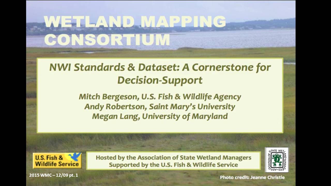
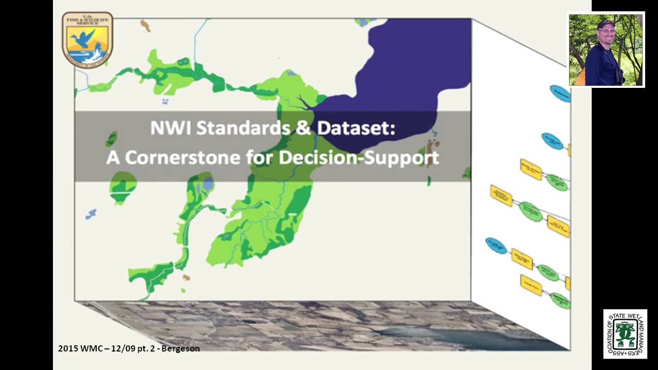
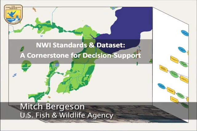
NWI Standards & Dataset: A Cornerstone for Decision-Support
Held Wednesday, December 9, 2015 – 12:00 p.m. ET
INTRODUCTION
- Marla Stelk, Policy Analyst, Association of State Wetland Managers [PRESENTATION PDF]
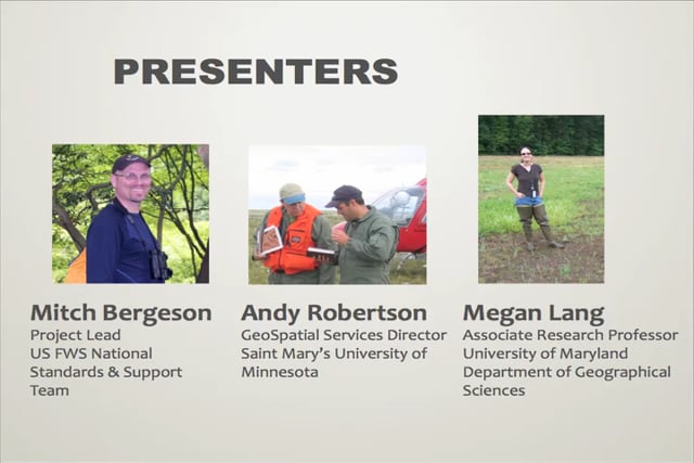
PRESENTERS
- Mitch Bergeson, U.S. Fish & Wildlife Service [PRESENTATION PDF]
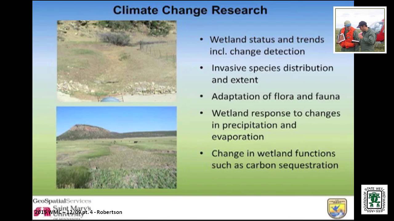
- Andy Robertson, Saint Mary's University [PRESENTATION PDF]
- Megan Lang, University of Maryland [PRESENTATION PDF]
ABSTRACT
The National Wetlands Inventory (NWI) has been and continues to be a primary building block for many mapping projects, and decision support systems. However, the focus of NWI has changed, and the project is now responsible for adding wetland maps developed by third parties (states, nonprofits, etc.) to the NWI dataset, instead of developing original maps. The Federal Geospatial Data Committee Wetlands Mapping Standard must be used in all wetland mapping projects that are funded in part through the federal government. This webinar will inform participants about NWI’s new direction, new Quality Assurance/Quality Control procedures and trends in wetland mapping. Examples of other datasets that have been built up from the NWI layer were presented, and the webinar concluded with a discussion. To ensure that data added to NWI will meet Federal Wetland Mapping Standards and QA/QC requirements, this webinar polled participants about training needs. This information will be used to develop future training webinars.
BIOS
Mitch Bergeson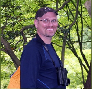 is the Project Lead for the U.S. Fish and Wildlife Service's, National Standards and Support Team (NSST) in Madison WI, which manages the National Wetlands Inventory database, Wetlands Mapper and the Wetlands Status and Trends Projects. Mitch has over 20 years of experience in the natural resource and geospatial fields and holds a B.S. in Biology from the University of Wisconsin - Stevens Point and an M.S. in Wildlife Ecology and Certificate Degree in GIS, both from the University of Wisconsin – Madison.
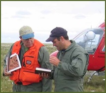 After serving as lead Project Manager for over 10 years, Andy Robertson assumed the position of GeoSpatial Services Director on June 01, 2015. In this role, Andy is responsible for oversight and management of all GeoSpatial Services projects, activities and staff. He continues to lead the management of project resources for a wide range of wetland mapping, spatial data development, and natural resource related projects as well as provide supervision and development for technical staff. Andy earned a Forest Technology Diploma from Sault College of Applied Technology in Ontario, Canada, a B.Sc. in Environmental Science from the University of Waterloo and completed post graduate work in forest management at the University of Toronto. GeoSpatial Services has been a key partner of the USFWS and has been working for over 15 years to update legacy National Wetland Inventory data nation-wide.
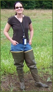 Megan Lang is an Associate Research Professor at the University of Maryland Department of Geographical Sciences. She leads the U.S. Department of Agriculture Mid-Atlantic Wetland Conservation Effects Assessment Project, which is focused on assessing the effects of wetland restoration on the provision of ecosystem services. She specializes in characterizing the location and function of wetlands and other aquatic ecosystems through the use of advanced geospatial data and techniques. She places an emphasis on connecting operational needs to actionable data streams, and supporting adaptive management of aquatic systems.
Please click only once on each video recording to view in this window. Part 1: Introduction: Marla Stelk, Policy Analyst, Association of State Wetland Managers

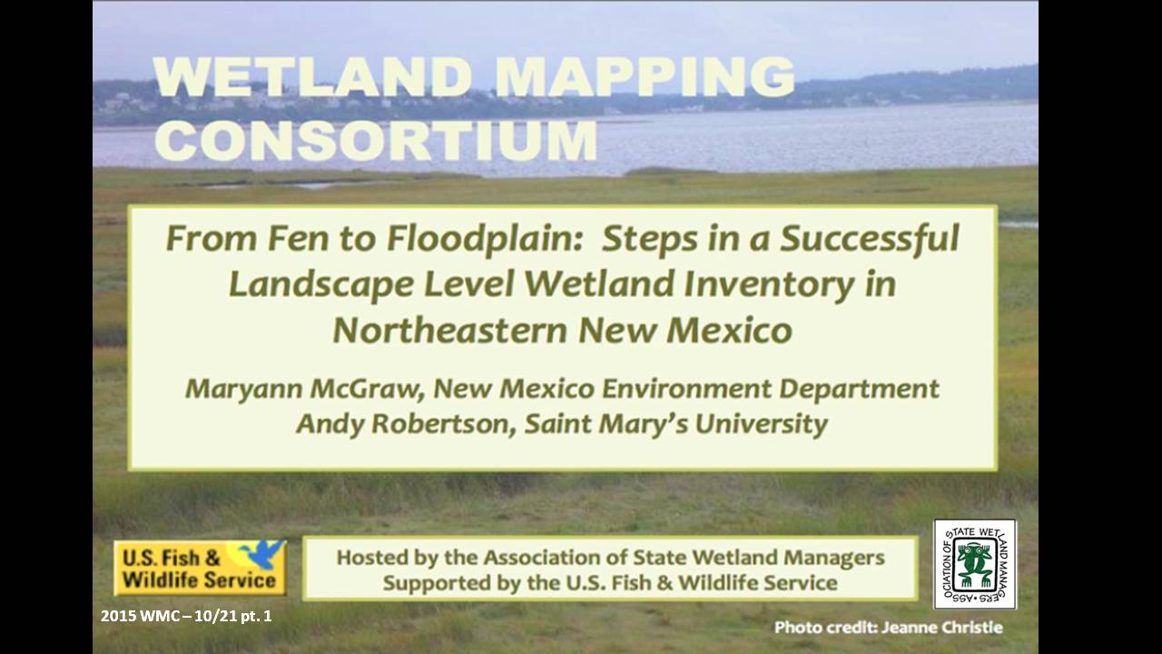
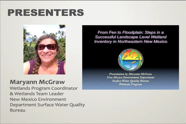
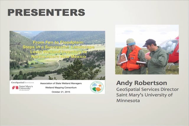
From Fen to Floodplain: Steps in a Successful Landscape Level Wetland Inventory in Northeastern New Mexico
Held Wednesday, October 21, 2015 – 3:00pm ET
INTRODUCTION
- Marla Stelk, Policy Analyst, Association of State Wetland Managers [PRESENTATION PDF]
PRESENTERS
- Andy Robertson, Saint Mary’s University [PRESENTATION PDF]
- Maryann McGraw, New Mexico Environment Department [PRESENTATION PDF]
SUMMARY
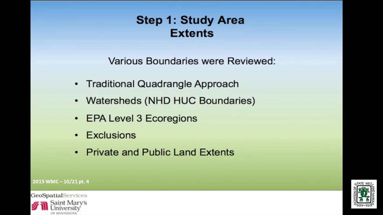
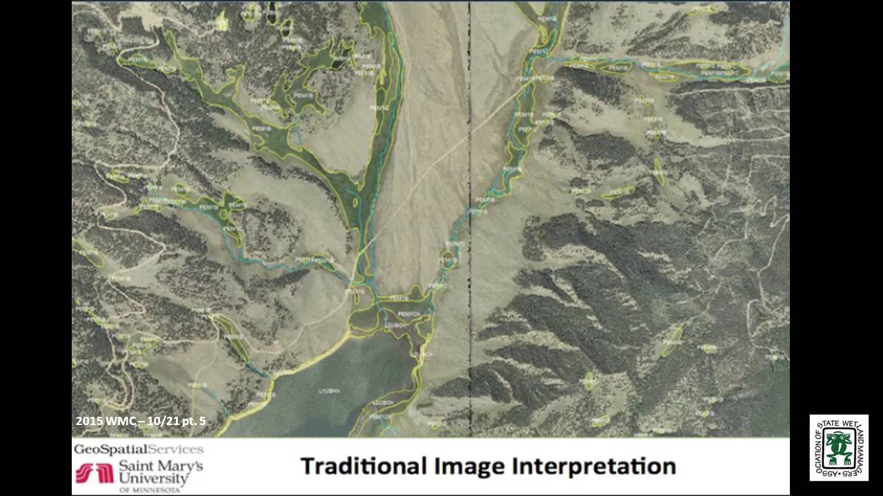
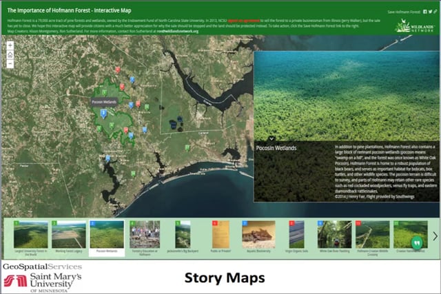
The New Mexico Environment Department (NMED) Surface Water Quality Bureau and Saint Mary’s University of Minnesota GeoSpatial Services (GSS) have recently completed the first National Wetland Inventory mapping project for Northeastern New Mexico’s highlands and plains. This project included the inventory of over 10 million acres of public and private land and resulted in the identification of well over 100,000 wetlands. NMED designed this project specifically to integrate landscape level wetland inventory with the development of the New Mexico wetland Rapid Assessment Methods and site level wetland determinations. As a result, several unique aspects of wetland inventory were developed for this project including: NWI mapping to the FGDC standard; incorporation of additional hydrogeomorphic metrics using LLWW coding; development of a regionally adapted wetland functional assessment; and, design of a crosswalk process (queries and modelling) to assign wetlands to one of several HGM regional sub-classes. In this webinar they examined the various steps that were required to plan and execute a multi-year, area extensive, integrated wetland inventory project across Northeastern New Mexico. The webinar touched on initial planning, project design, integration with other state programs, funding, stakeholder engagement, data development, quality control, inventory enhancements, data delivery and accessibility.
This webinar also included a National Wetlands Inventory Training Needs Assessment. Participants were not only able to learn about this project in New Mexico from start to finish, but they were also able to contribute to the development of four future training webinars. This webinar was uniquely interactive and a great way to make your training needs heard.
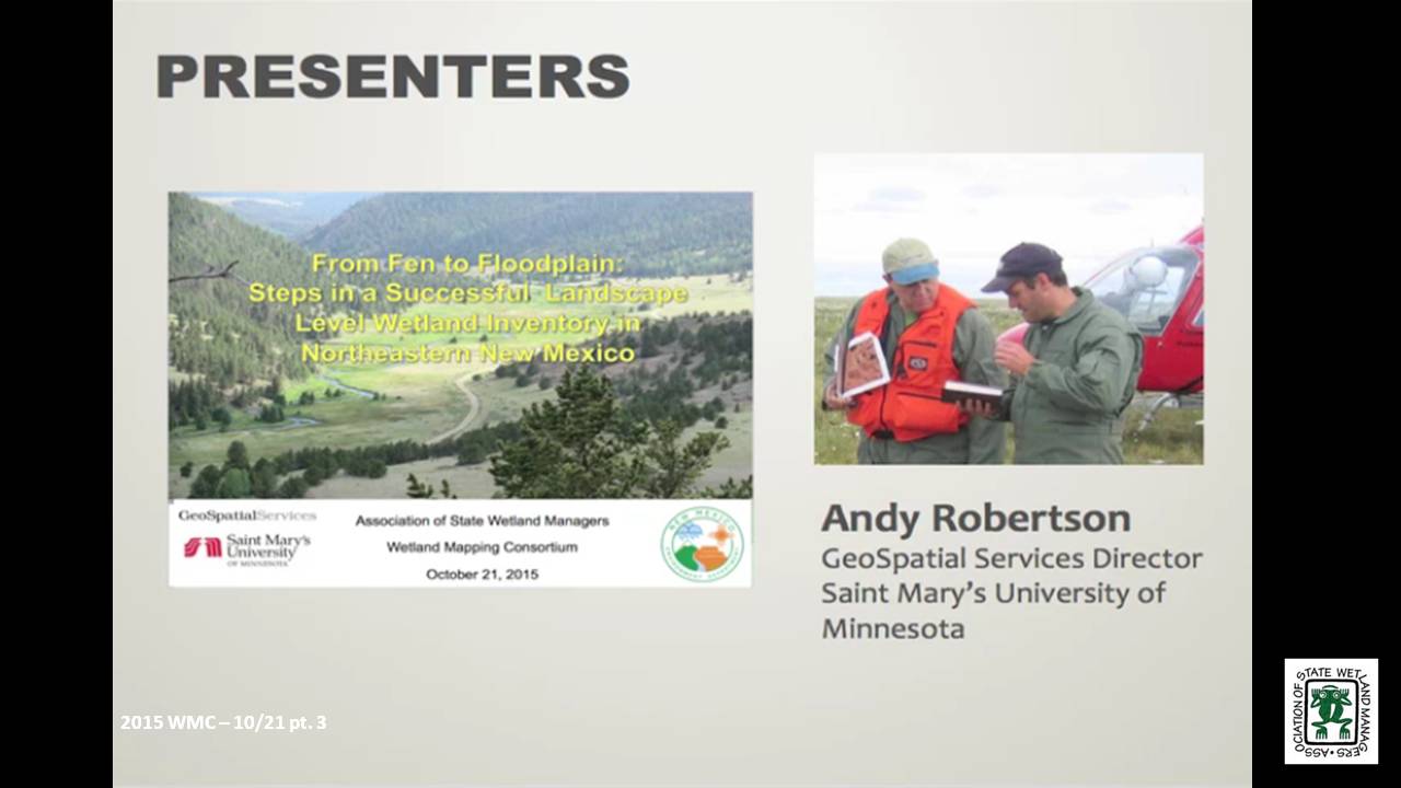
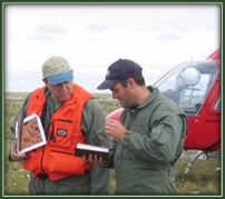 After serving as lead Project Manager for over 10 years, Andy Robertson assumed the position of GeoSpatial Services Director on June 01, 2015. In this role, Andy is responsible for oversight and management of all GeoSpatial Services projects, activities and staff. He continues to lead the management of project resources for a wide range of wetland mapping, spatial data development, and natural resource related projects as well as provide supervision and development for technical staff. Andy earned a Forest Technology Diploma from Sault College of Applied Technology in Ontario, Canada, a B.Sc. in Environmental Science from the University of Waterloo and completed post graduate work in forest management at the University of Toronto. GeoSpatial Services has been a key partner of the USFWS and has been working for over 15 years to update legacy National Wetland Inventory data nation-wide.
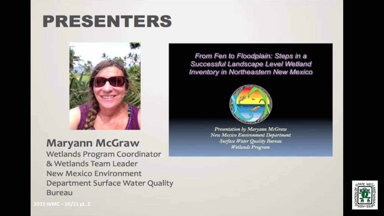
 Maryann McGraw is the Wetlands Program Coordinator and the Wetlands Team Leader with the New Mexico Environment Department (NMED) Surface Water Quality Bureau. Maryann has managed the New Mexico Wetlands Program since 2003. The Wetlands Program conducts wetlands mapping and classification, wetlands rapid assessment, develops innovative restoration measures and improves wetlands regulation and water quality standards related to wetlands. Maryann brings the perspective and understands the challenges of a growing Wetlands Program in the arid west. She was awarded the 2010 New Mexico Riparian Council Award for Research, and the Quivira Coalition 2010 Radical Center Award for Civil Service. She has previously taught landscape ecology and restoration classes at Santa Fe Community College including Wetlands, Riparian Restoration, Dryland Restoration, Bioremediation, and Natural History of Arid Lands. Maryann holds Bachelor’s and Master’s Degrees in Geology from the University of Texas at Austin.
Please click only once on each video recording to view in this window. Part 1: Introduction: Marla Stelk, Policy Analyst, Association of State Wetland Managers

Part 2 – “The Florida Wetlands Integrity Dataset: Analysis of nonrenewable energy data and construction of graph-theoretic networks to quantify landscape integrity”
Held Wednesday, September 16, 2015 - 3:00 p.m.-5:00 p.m. EDT
INTRODUCTION
- Marla Stelk, Policy Analyst, Association of State Wetland Managers [PRESENTATION PDF]
PRESENTERS
- John Humphreys, Florida Department of Environmental Protection
- Amir Mahjoor, Florida Department of Environmental Protection [PRESENTATION PDF]
PROJECT SYNOPISIS
In September of 2013 the Florida Department of Environmental Protection was awarded a three-year EPA Wetland Program Development Grant to develop an ecological model that approximates the extents of wetlands and surface waters for the entire State of Florida. In addition to identification of areal extents, model predicated wetlands are to include a numeric index that corresponds to the predicted quality or “integrity” of each system.
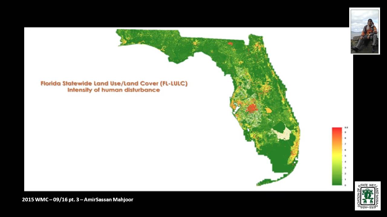
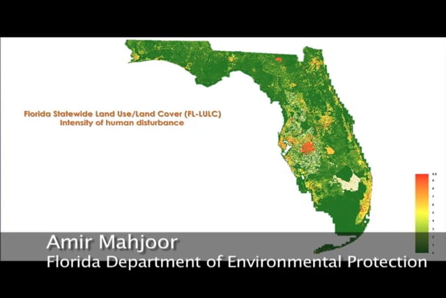
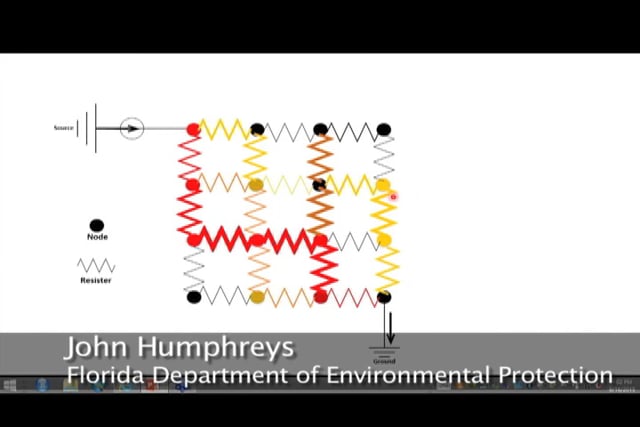
In the second of the two-part webinar series, DEP staff provided an overview of the techniques being used to quantify the “integrity” of Florida’s wetlands. During this talk, staff explained how known associations between landuse and nonrenewable energy consumption can be leveraged to approximate a community’s departure from natural condition and how construction of graph-theoretic networks can be used to identify those natural areas that serve as hubs or conduits for wildlife movement.
BIOS
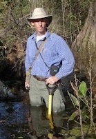 John Humphreys is the Department of Environmental Protection’s Mitigation Banking and Wetland Mitigation Assessment Method Coordinator and has statewide responsibility for ensuring coordination and consistency in all aspects of rule development and rule implementation for Chapters 62-342 and 62-345 of the Florida Administrative Code. John holds a bachelor's degree in biology and geology from Kent State University and is currently a graduate student in spatial ecology at Florida State University. Prior to joining the Department in 2008, John was employed with the Florida Fish and Wildlife Conservation Commission and the National Park Service.
 Amirsasan Mahjoor is PhD a student in “Environmental Modeling” at Florida State University Department of Geography. His research interest is socio-ecological system analysis and his main focus is on socio-ecological systems sustainability and integrity analysis. He has completed two master's degree in geology and Geographical Information Sciences (GIS) at Florida State University. Amirsasan has been collaborating with Florida Department of Environmental Protection on developing Florida wetland integrity dataset, since November 2013.
Please click only once on each video recording to view in this window. Part 1: Introduction: Marla Stelk, Policy Analyst, Association of State Wetland Managers
Presenter: John Humphreys, Florida Department of Environmental Protection 
August – No webinar
Part 1 - “The Florida Wetlands Integrity Dataset: Using soils data, topographic indices, and Bayesian probability to identify wetlands”
Held Wednesday, July 15, 2015 - 3:00 p.m.-5:00 p.m. EDT
INTRODUCTION
- Marla Stelk, Policy Analyst, Association of State Wetland Managers [PRESENTATION PDF]
PRESENTERS
John Humphreys and Amir Mahjoor, Florida Department of Environmental Protection [PRESENTATION PDF] (For Part 2, see above.)
PROJECT SYNOPSIS
In September of 2013 the Florida Department of Environmental Protection was awarded a three-year EPA Wetland Program Development Grant to develop an ecological model that approximates the extents of wetlands and surface waters for the entire State of Florida. In addition to identification of areal extents, model predicated wetlands are to include a numeric index that corresponds to the predicted quality or “integrity” of each system.
In the first of a two-part webinar series, DEP staff discussed how cutting-edge statistical techniques can be used to identify wetlands probabilistically using NRCS soils data and other ancillary information. The statistical technique they will be discussing has – to the best of their knowledge – never been applied to the task of wetland identification.
BIOS
John Humphreys is the Department of Environmental Protection’s Mitigation Banking and Wetland Mitigation Assessment Method Coordinator and has statewide responsibility for ensuring coordination and consistency in all aspects of rule development and rule implementation for Chapters 62-342 and 62-345 of the Florida Administrative Code. John holds a bachelor's degree in biology and geology from Kent State University and is currently a graduate student in spatial ecology at Florida State University. Prior to joining the Department in 2008, John was employed with the Florida Fish and Wildlife Conservation Commission and the National Park Service.
Part 1: Introduction: Marla Stelk, Policy Analyst, Association of State Wetland ManagersAmirsasan Mahjoor is PhD a student in “Environmental Modeling” at Florida State University Department of Geography. His research interest is socio-ecological system analysis and his main focus is on socio-ecological systems sustainability and integrity analysis. He has completed two master's degree in geology and Geographical Information Sciences (GIS) at Florida State University. Amirsasan has been collaborating with Florida Department of Environmental Protection on developing Florida wetland integrity dataset, since November 2013.
Please click only once on each video recording to view in this window.
Presenter: John Humphreys, Florida Department of Environmental Protection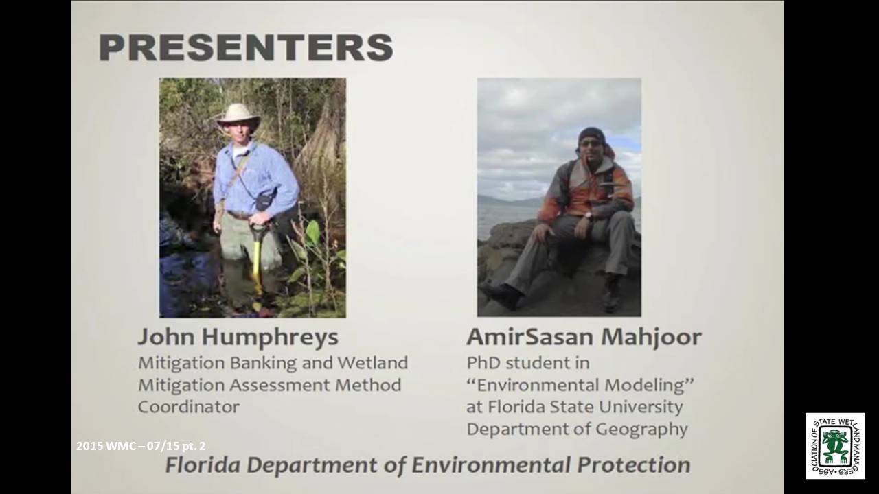
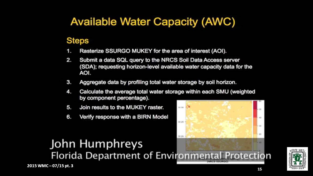
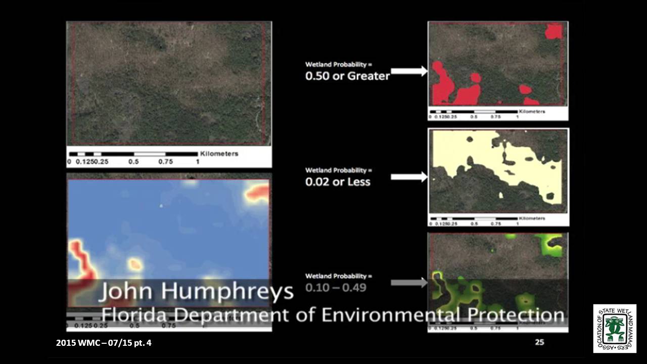
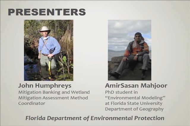
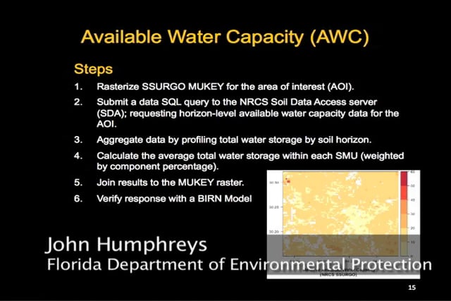
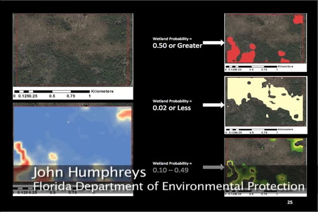
Minnesota's "Restorable Wetland Prioritization Tool"
Held Wednesday, May 20, 2015 - 3:30 p.m. ET
INTRODUCTION
- Marla Stelk, Policy Analyst, Association of State Wetland Managers [PRESENTATION PDF]
PRESENTER
- Mark Gernes, Minnesota Pollution Control Agency [PRESENTATION PDF]
ABSTRACT
Helping decision makers prioritize where to restore and protect wetlands is the purpose of Minnesota’s GIS driven “Restorable Wetland Prioritization Tool.” This online tool helps maximize water quality benefits and funding by:
- Predicting likely locations of restorable wetlands with a statewide restorable wetland inventory.
- Locating highly stressed areas most in need of water quality or habitat improvement.
- Prioritizing areas that have the potential to be, or currently are, high functioning sustainable wetlands.
- Identifying areas with the greatest benefits in the form of water quality and habitat.
- Refining prioritizations with aerial imagery and available environmental data.
This tool was developed for use in Minnesota in 2013, and Mark Gernes, a Wetland Plant Ecologist at the Minnesota Pollution Control Agency, discussed how the tool was developed, how it has been used, and what has worked and/or has not worked well, offering suggestions for other states interested in developing their own tools.
BIO
 Mark Gernes works as a Wetland Plant Ecologist at the Minnesota Pollution Control Agency. Since 1992 his work has focused on wetland policy issues and researching wetland responses to environmental stress from chemical pollution, invasive species and habitat alterations including water level changes. He is also engaged in work to prioritize wetland restoration siting in Minnesota to benefit water quality. Mark’s statewide wetland responsibilities include monitoring and reporting on trends in wetland quality and watershed technical assistance to several MPCA programs. Mark earned a Master’s degree in Biological Science, with emphasis in Plant Ecology from St. Cloud State University and Bachelors in Biological Science from Bemidji State University in Northern Minnesota. Mark is married and father to two adult children. He enjoys reading, native landscaping, gardening, making maple syrup and is an avid outdoorsperson.
Part 1: Introduction: Marla Stelk, Policy Analyst, Association of State Wetland Managers
Please click only once on each video recording to view in this window.
Presenter: Mark Gernes, Minnesota Pollution Control Agency
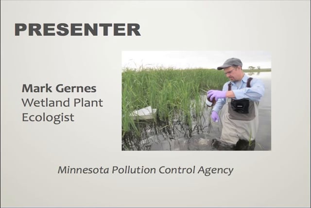

April – No webinar
WMC Workshop: "Accessing, Analyzing and Communicating Digial Wetland Data to Stakeholders for Decision-making"
Held at ASWM Winter Meeting Workshop, March 24-26, 2015
INTRODUCTION
- Marla Stelk, Policy Analyst, Association of State Wetland Managers
PRESENTERS
1:30 p.m.-2:00 p.m. Wetlands Spatial Data 101: How to Access Data on NWI Mapper and Other Resources – Mitch Bergeson, USFWS, National Standards Support Team
2:00 p.m.-2:30 p.m. Communicating Digital Wetland Data to Stakeholders: What to do With the Data Once You Have It – Andy Robertson, Saint Mary's University
2:30 p.m.-3:00 p.m. Available Wetland Data for Analysis at Different Spatial and Temporal Scales – Megan Lang, University of Maryland and Nate Herold, NOAA Coastal Services Center
Mitch Bergeson is a GIS Specialist for the US Fish and Wildlife Service's, National Standards and Support Team in Madison WI. He is the Project Lead for the National Wetlands Inventory database, Wetlands Mapper and the Wetlands Status and Trends Projects. Mitch has over 20 years of experience in the natural resource and geospatial fields and holds a B.S. in Biology from the University of Wisconsin - Stevens Point and an M.S. in Wildlife Ecology and Certificate Degree in GIS, both from the University of Wisconsin – Madison.
 Andy Robertson joined Saint Mary’s University as GeoSpatial Services Project Manager in 2004. In this current position, he is responsible for the management of project resources for a wide range of wetland inventory, spatial data development and natural resource related projects. Andy has over 25 years of natural resource project management experience with both the public and private sectors and as a consultant. Andy earned a Forest Technology Diploma from Sault College of Applied Technology in Ontario, Canada, a B.S in Environmental Science from the University of Waterloo and completed post graduate work at the University of Toronto. Andy is a Registered Professional Forest Technologist and a member of both the Canadian Institute of Forestry and the Society of American Foresters.
 Megan Lang is a Research Associate Professor at the University of Maryland Department of Geographical Sciences. She leads the U.S. Department of Agriculture Mid-Atlantic Wetland Conservation Effects Assessment Project, which is focused on assessing the effects of wetland restoration on the provision of ecosystem services. She specializes in characterizing the location and function of wetlands and streams and interactions between aquatic ecosystems through the use of advanced geospatial data and techniques. She places an emphasis on connecting operational needs to actionable data streams, and supporting adaptive management of aquatic systems. Megan is co-founder of the U.S. Association of State Wetland Managers Wetland Mapping Consortium and has helped to develop wetland monitoring strategies for the state of Maryland and the United States.
 Nate Herold is with the Geospatial Solutions Program at the National Oceanic and Atmospheric Administration's Coastal Services Center (CSC) in Charleston, SC where he leads up the NOAA’s land cover mapping activities, managing the Coastal Change Analysis Program (C-CAP). C-CAP is a nationally standardized database of land cover and change information developed for the Nation’s coastal regions. These products are developed utilizing remotely sensed imagery and can be used to track changes in the landscape through time. Nate came to the NOAA after several years working in the private sector, where he was involved in the production of land cover products worldwide. He has a Bachelors in Soil Science, from Penn State University; and Masters in Geography, from George Mason University.
Part 1: Introduction: Marla Stelk, Policy Analyst, Association of State Wetland Managers
Please click only once on each video recording to view in this window.
Presenter: Mitch Bergeson, USFWS, National Standards Support Team
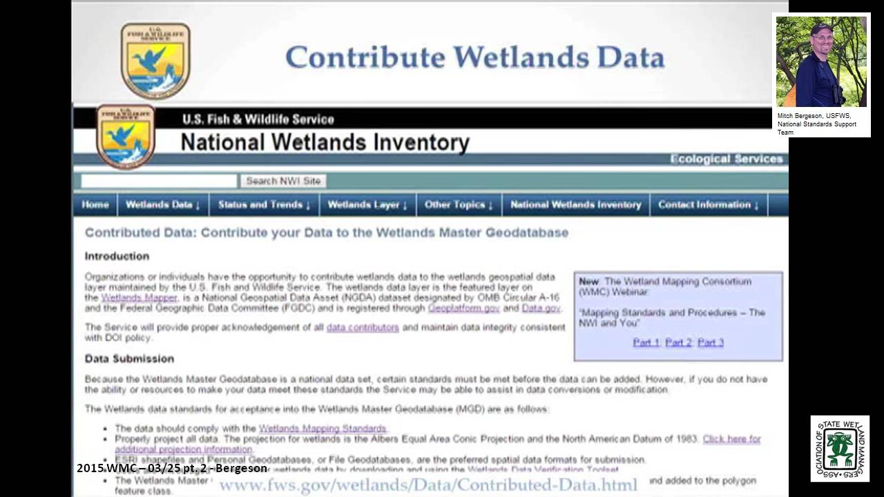

Marsh Analysis and Planning Tool Incorporating Tides and Elevations (MAPTITE): A Geospatial Tool for Estuary Restoration
Held Wednesday, February 18, 2015 – 3:00 p.m. EST
INTRODUCTION
- Marla Stelk, Policy Analyst, Association of State Wetland Managers [PRESENTATION PDF]
PRESENTERS
- Lijuan Huang, NOAA [PRESENTATION PDF]
- Chris Paternostro, NOAA
ABSTRACT
As understanding has grown of the critical part wetlands play in the health of the world’s oceans and how they act as protective, productive buffers against wave action and storms; so has the awareness of a critical need to both protect remaining wetlands and to begin a focused and coordinated effort to restore lost wetlands. NOAA’s Center for Operational Oceanographic Products and Services (CO-OPS), partnering with other NOAA offices, USACE and the National Aquarium in Baltimore, developed Marsh Analysis and Planning Tool Incorporating Tides and Elevations (MAPTITE) for coastal restoration planning. MAPTITE is based on the premise that wetland plant communities are organized by their various tolerances to environmental stresses brought upon by periodic inundation and salinity intrusion. This geospatial tool takes advantage of this relationship to model specific plant communities given a measured elevation gradient at a coastal wetland restoration or creation site. It provides a ESRI ArcGIS extension that aids in the selection of vegetation types for different restoration elevations determined by a combination of a digital elevation model (DEM) derived from GPS observations, local tidal datums, and wetland vegetation information. By delineating planting areas and providing point data that can be uploaded to GPS receivers for those areas, MAPTITE allows users to accurately plant appropriate species during restoration, promoting growth of native species in order to successfully create or restore ecosystem functions of the marsh. The tool addresses a need of government, academic and coastal manager communities for coastal restoration planning.
 Lijuan Huang has been with NOAA as an oceanographer for 9 years. She is an expert on the navigational and non-navigational applications of tide data. She holds a M.S. in Geological Oceanography from the Marine Science Research Center of Stony Brook University School, NY and a B.S. in Physical Oceanography from Xiamen University in China.
 Chris Paternostro is an internationally acclaimed expert on tides and currents, currently employed by the National Oceanic & Atmospheric Administration (NOAA). He is a computational oceanographer who has developed many systems for analyzing and displaying oceanographic data. He is the lead of the Coastal & Estuarine Circulation Analysis Team.
Please click only once on each video recording to view in this window.

Part 1: Introduction: Marla Stelk, Policy Analyst, Association of State Wetland Managers
Presenter: Chris Paternostro, NOAA
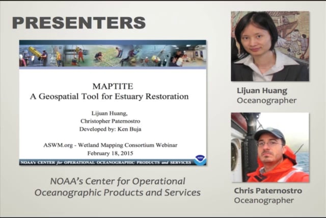
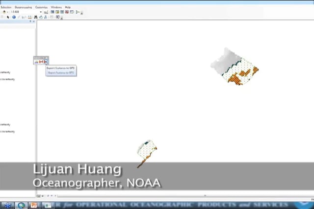
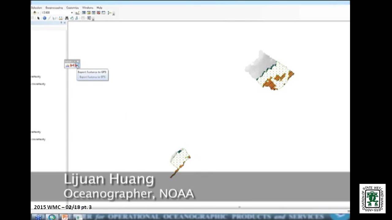
Mapping with Ecological Site Descriptors
Held Wednesday, January 21, 2015 – 3:00 p.m. EST
INTRODUCTION
- Marla Stelk, Policy Analyst, Association of State Wetland Managers [PRESENTATION PDF]
PRESENTER
- Richard A. Weber, P.E., Wetland Hydraulic Engineer, NRCS [PRESENTATION PDF]
ABSTRACT
Mapping wetlands can be accomplished in many ways, depending on the needs, the data used, and some key assumptions. One need is for maps that define wetlands based on differencse in function. Ecological Site Description (ESD) development is an ongoing effort conducted by the Natural Resources Conservation Service, the U.S. Forest Service, and the Bureau of Land Management. ESDs are land unit concepts that define sites based on their ability to support common plant communities that respond similarly to management and stressors. Since the effort encompasses all landscapes, by definition wetland areas are included. The mapping of wetland ecological sites can be accomplished best by incorporating the principles of the Hydrogeomorphic (HGM) system. The result is a landscape concept which can be spatially defined, which has common hydrologic processes, landform, plant community, and function. Furthermore we present landscapes as individual elements in a watershed. The data sources used are the Soil Survey Geographic (SSURGO) database and Digital Elevation Data. This data provides the means to produce maps on a GIS platform using both ESD and HGM principles to produce mappable sites that fit jointly within the ESD and HGM framework.
BIO
 Richard A. Weber is a Wetland Hydraulic Engineer with the USDA Natural Resources Conservation Service (NRCS), Wetland Team, CNTSC in Fort Worth, Texas from 2006 to present. In this role, Rich has provided national leadership on wetland hydrology, including: Support for Wetland Restoration Program, Wetland Protection Policy, and E.O. 11990 Wetland Assessments. He leads a national training cadre for Wetland Restoration and Enhancement and Hydrology Tools for Wetland Determination courses. From 2005-2006, Rich was Design Engineer at the NRCS Nebraska State Office where he had design and A&E Contracting responsibilities for PL-566, WRP, and EQIP programs. From 1999-2005, he was a Field Engineer at the NRCS in the Scottsbluff, NE Field Office where he had design, construction, and contracting responsibilities for the Wetland Reserve Program, EQIP Irrigation and Animal Waste Management, and CTA conservation practices. From 1997-1999, Rich was an Agricultural Engineer at the NRCS in Chehalis, WA where he had design, construction, and contracting responsibilities for Conservation District funded Stream Restoration and Fish Passage projects, and EQIP program Animal Waste Projects. And from 1986-1997, he was a Watershed Project Engineer at the NRCS in Horton, KS where he performed Construction Contract Administration for PL-566 Watershed Protection and Flood Prevention projects.
Please click only once on each video recording to view in this window. Part 1: Introduction: Marla Stelk, Policy Analyst, Association of State Wetland Managers
Presenter: Richard A. Weber, P.E., Wetland Hydraulic Engineer, NRCS
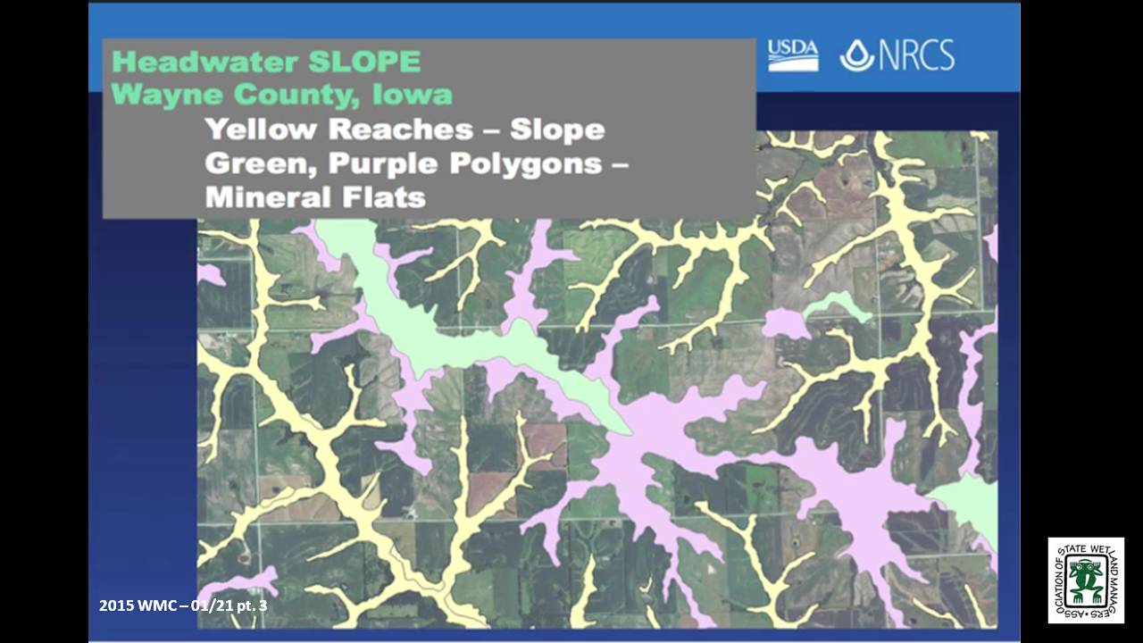
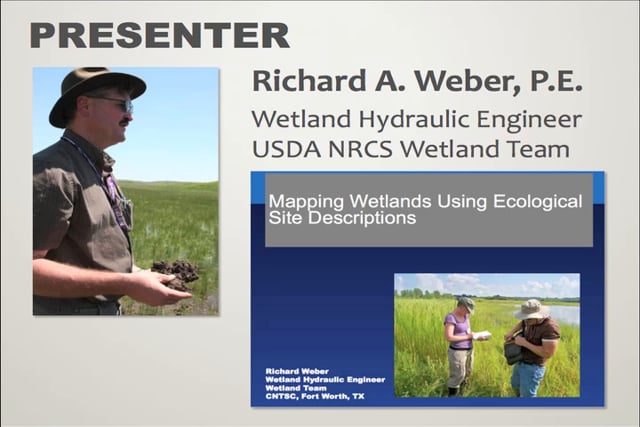
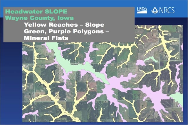
View Past Wetland Mapping Consortium Webinars
PDF List of Past Wetland Mapping Consortium Webinar Recordings
View Upcoming Wetland Mapping Consortium Webinars
Moving toward Floodplain Restoration at Scale on the Illinois River and Upper Mississippi Basin: Valuing Ecosystem Services, Demonstrating Flood Reduction, and Policy Implications
Monday, November 18, 2013 – 3:00 p.m. EST
INTRODUCTION
- Jeanne Christie, ASWM [PRESENTATION-PDF]
PRESENTERS
- K. Douglas Blodgett, Director of River Conservation, The Nature Conservancy in Illinois [PRESENTATION-PDF]
- Charles E. Theiling, Large River Ecologist, U.S. Army Corps of Engineers Rock Island District [PRESENTATION-PDF]
A growing number of projects are demonstrating the effectiveness and value of functioning floodplain systems in providing society with diverse benefits such as flood reduction and conveyance, water quality improvements, increased recreation, and enhanced fish and wildlife habitat. Beyond local returns, some of these projects help to reveal needs and opportunities to change policies and programs in order to expand and more fully realize the social benefits of floodplain protection and restoration. This webinar will present two such projects in the Upper Mississippi Basin, including a preliminary ecosystem service valuation of alternative floodplain management scenarios in the St. Louis region and a comparison of the flood reduction benefits of reconnected floodplain along two reaches of the Illinois River during the record 2013 flood. Technical insight gained from these projects will be synthesized, along with key lessons related to existing policies and programs and their effectiveness in enabling public-private partnerships.
Part 1: Introduction: Marla Stelk, ASWM
Presenter: K. Douglas Blodgett, Director of River Conservation
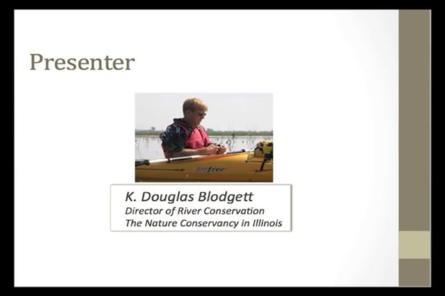
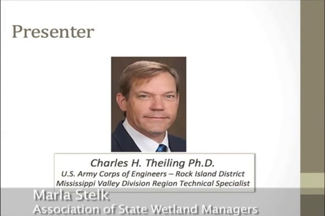
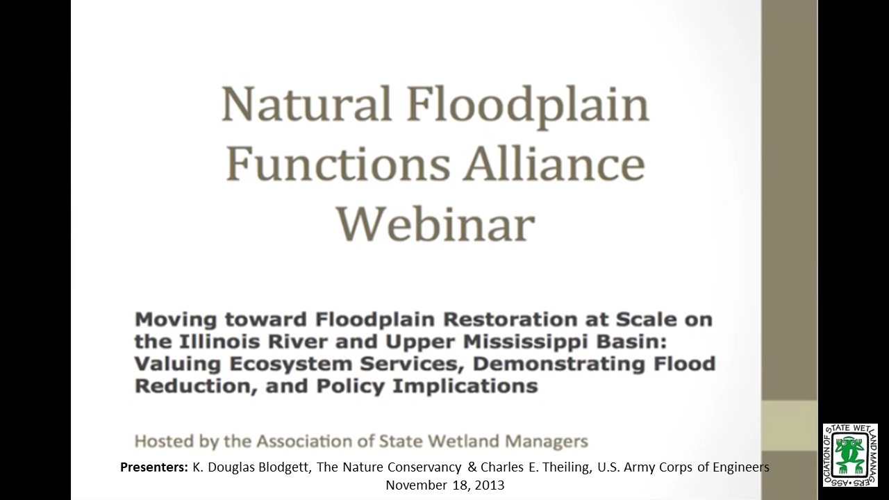
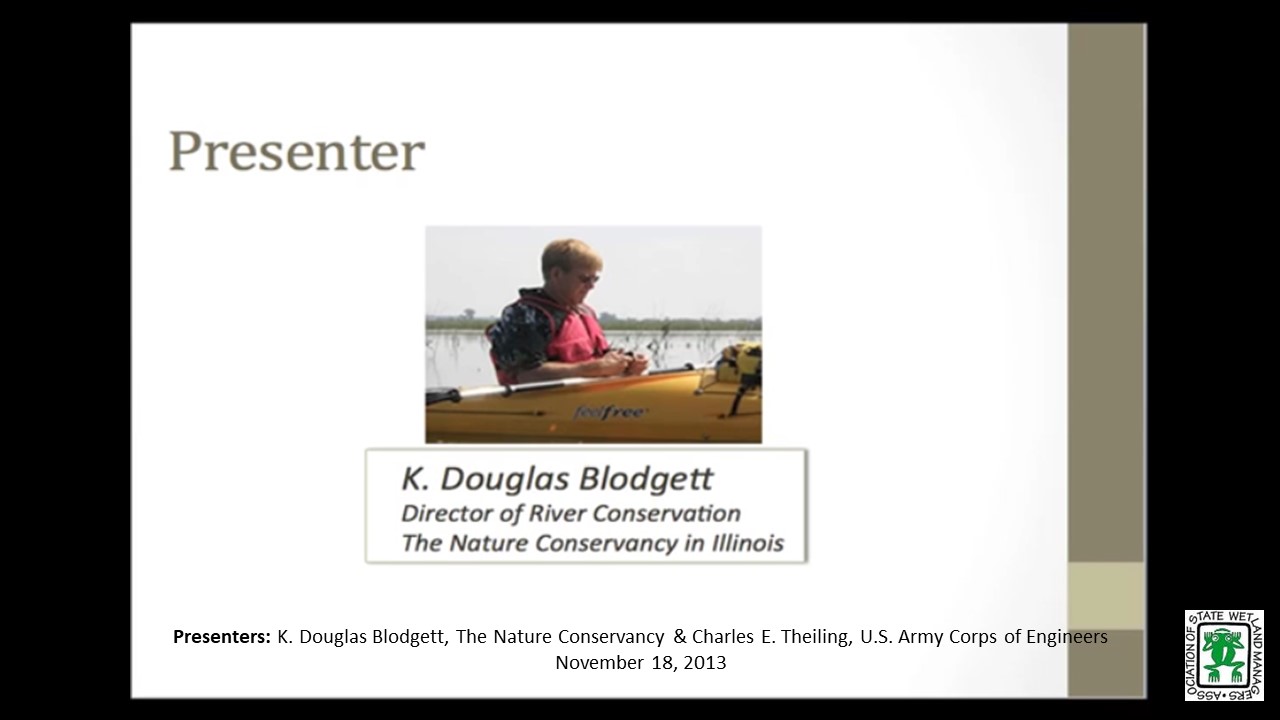
Reforming Federal Support for Risky Development
Monday, September 9, 2013 – 3:00 p.m. EST
INTRODUCTION
- Jeanne Christie, ASWM [PRESENTATION-PDF]
PRESENTERS [PRESENTATION-PDF]
- David Conrad, Consultant, Water Resources Policy
- Edward A. Thomas, Esq. President, Natural Hazard Mitigation Association
We are continuing to experience increasingly costly and damaging natural disasters; physical, emotional, economic losses are escalating wildly. At the same time, the proportion of costs borne by Federal taxpayers, society as a whole, and disaster victims/survivors is also rising alarmingly. We must and should make changes in federal policy that can best reduce the mounting toll of these hazards. Our guiding principle should be: the best disaster response and recovery is when no disaster response and recovery is required due to safe & proper planning, land use, and building codes that prevent disasters from occurring in the first place. Disaster Mitigation & Climate Adaptation should be incorporated into a much broader range “Whole Community” approach to planning and economic development programs: by reducing subsidies that underwrite or promote risky development and by better leveraging Federal and State programs to support and encourage wise State and Local land-use, hazard risk reduction and protection and restoration of natural ecosystems and natural hazard risk-reduction “services.” A recent case decided by the US Supreme Court, Koontz v. St. Johns River Water Management District, may offer a path forward based on the idea of using harm prevention as a fundamental foundational basis of planning community development, climate adaptation, and hazard mitigation.
The webinar is based on a paper with the same title authored by the presenters and published by the Brookings Institution’s Hamilton Project in February 2013.
Part 1: Introduction: Jeanne Christie, ASWM
Presenter: David Conrad, Consultant, Water Resources Policy
Informing Flood Mitigation with Ecosystem Service Valuation: An Introduction to the Ecosystem Valuation Toolkit
Monday, June 17, 2013 – 3:00 p.m. EST
INTRODUCTION
- Jeanne Christie, ASWM [PRESENTATION-PDF]
PRESENTER
- Zac Christin, Earth Economics [PRESENTATION-PDF]
All federal and state agencies, cities, counties and many private firms utilize benefit-cost analysis to make investment decisions and allocate resources, but most often these decisions are made without taking into account the value of ecosystem services. In early 2012, Earth Economics conducted an analysis of ecosystem service valuation implementation nationally for FEMA’s Benefit Cost Analysis Toolkit, to be released in version 5.0. FEMA will be the first federal government organization to incorporate environmental benefits to the BCA process.
This webinar will introduce the Ecosystem Valuation Toolkit (EVT), a web-based ecosystem service value exchange platform for rapidly appraising the value of ecosystem services in natural floodplains to inform benefit-cost analysis. EVT is a toolkit for translating the values provided by natural systems or damage to these systems, linking the understanding provided by natural sciences and the implementation of change enabled by good investment, markets and economic decision-making.
Part 1: Introduction: Jeanne Christie, ASWM
Presenter: Zac Christin, Earth Economics


Mapping Floodplains in Iowa Part II
Monday, April 8, 2013 – 3:00 p.m. EST
INTRODUCTION
- Jeanne Christie, ASWM [PRESENTATION-PDF]
PRESENTERS [PRESENTATION-PDF]
- Kris Johnson, The Nature Conservancy
- Jan Slaats, The Nature Conservancy
The Iowa-Cedar Rivers Basin is home to Iowa’s largest university and second largest city and supports millions of acres of agriculture. Intensive land use and altered hydrology have resulted in erosion, loss of natural habitat and impacts on water quality from nutrients and sediment. Additionally, the Cedar River flood in 2008 devastated crops and property and caused more than $10 billion in damages in the region. This catastrophe prompted the creation of the Iowa-Cedar Watershed Interagency Coordination Team, a multi-agency, multi-stakeholder effort convened to reduce flood risk, improve water quality, and conserve habitat. The Nature Conservancy is supporting the work of the Interagency Team through identification, analysis and mapping of ecosystem services. A critical first step in this process is mapping the floodplain, and in this webinar we will discuss our approach for delineating the floodplain for the IA-Cedar Rivers Basin.
Part 1: Introduction: Jeanne Christie, ASWM
Presenter: Kris Johnson, The Nature Conservancy
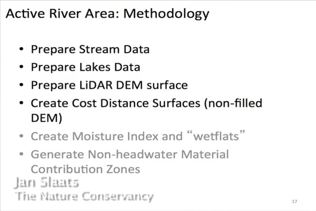
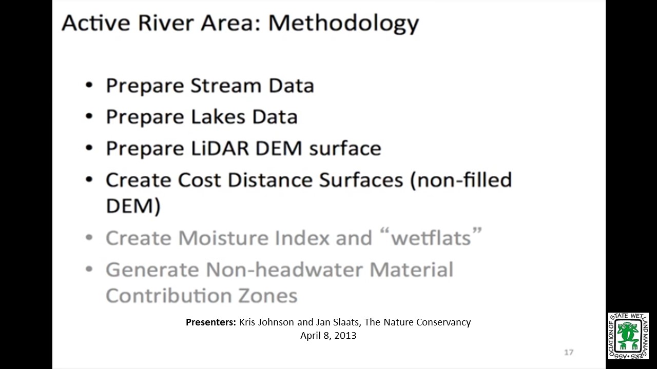
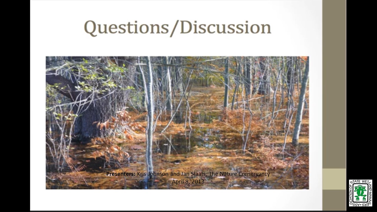
Iowa State Floodplain Mapping Program
Monday, February 11, 2013 – 3:00 p.m. EST
INTRODUCTION
- Jeanne Christie, ASWM [PRESENTATION-PDF]
PRESENTER
- Nathan Young, Iowa Flood Center [PRESENTATION-PDF]
In 2010, the state of Iowa received 15 million dollars in federal support to update and create floodplain maps for all Iowa counties declared federal disaster areas following the devastating 2008 Midwestern floods. In cooperation with the Iowa Department of Natural Resources, IFC is conducting a five-year effort to develop FEMA-compliant floodplain mapping data for all Iowa streams draining greater than one square mile. Taking advantage of statewide light detection and ranging (LiDAR) data, efforts will yield a detailed stream centerline network, computer-based flood simulations, and floodplain boundaries and depths associated with a range of annual exceedance probabilities. Mapping Floodplains in Iowa Part 1: This will be the first part of a two part series that will provide an overview of the comprehensive statewide project underway to map the natural floodplains of the entire state by the Iowa Floodplain Center. We are in the process of inviting them to present.
Part 1: Introduction: Jeanne Christie, ASWM
Presenter: Nathan Young, Iowa Flood Center
View Past Natural Floodplain Functions Alliance Webinars
PDF List of Past Natural Floodplain Functions Alliance Webinar Recordings Here
Publications
 The Association conducts research and publishes reports, guidebooks, news articles, brochures, white papers, and summaries of findings of symposia and workshops. These are available electronically to all interested individuals and organizations.