NAWM
The National Association of Wetland Managers is a nonprofit membership organization established in 1983 to promote and enhance protection and management of wetland resources, to promote application of sound science to wetland management efforts and to provide training and education for our members and the public. Membership is open to anyone who is involved with wetland resources.
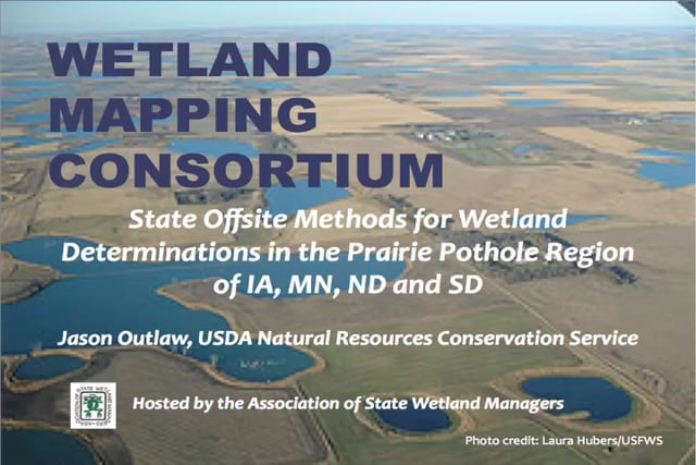
State Offsite Methods for Wetland Determinations in the Prairie Pothole REgion of IA, MN, ND and SD
Held Wednesday, December 17, 2014 – 3:00 p.m. ET
INTRODUCTION
- Marla Stelk, Policy Analyst, Association of State Wetland Managers [PRESENTATION PDF]
PRESENTER
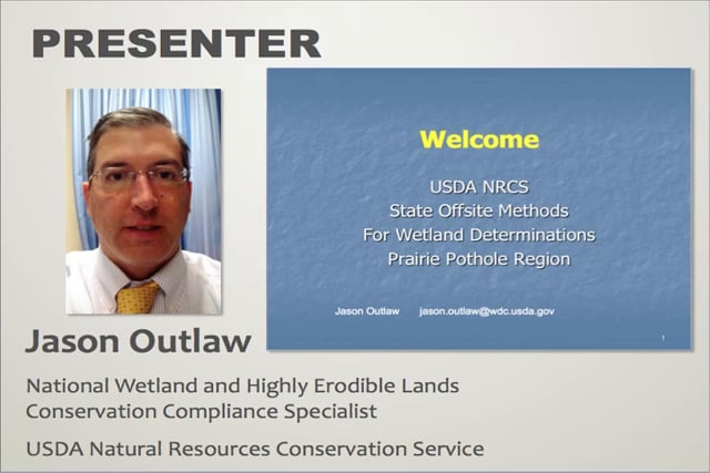
- Jason Outlaw, USDA Natural Resources Conservation Service [PRESENTATION PDF]
ABSTRACT
This presentation provided an overview of the proposed revisions to State Offsite Methods for wetland determinations in the Prairie Pothole Region. These offsite methods are designed specifically to identify wetlands subject to the wetland conservation provisions of the Food Security Act of 1985, as amended (aka. Swampbuster). Currently, these methods have been posted in the Federal Register for notice and comment for a period of 90 days, ending approximately February 5th.
BIO
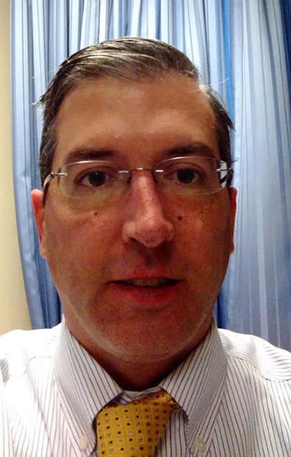 Jason Outlaw has been an employee of the Natural Resources Conservation Service for approximately 12 years, serving as a soil conservationist, soil scientist, and currently as the National Wetland and Highly Erodible Lands Conservation Compliance Specialist. He has experience in soil mapping and several years of experience identifying wetlands utilizing both onsite and offsite methodologies.
Please click only once on each video recording to view in this window. Part 1: Introduction: Marla Stelk, Policy Analyst, Association of State Wetland Managers

Presenter: Jason Outlaw, USDA Natural Resources Conservation Service




A Variable Width Riparian Areas Mapping: A Robust GIS Approach
November 19, 2014 – 3:00 p.m. ET
INTRODUCTION
- Marla Stelk, Policy Analyst, Association of State Wetland Managers [PRESENTATION PDF]
PRESENTER
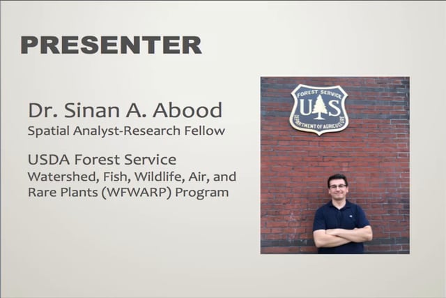
- Sinan A. Abood, USDA Forest Service [PRESENTATION PDF]
ABSTRACT
Riparian areas are dynamic, transitional ecotones between aquatic and terrestrial ecosystems with well-defined vegetation and soil characteristics. These areas offer wildlife habitat and protect stream water quality, protect against erosion, and other numerous valuable ecosystem functions. Quantifying and delineating riparian areas is an essential step in riparian monitoring, riparian management and policy decisions. The goal of this webinar was to present a cost effective, robust workflow to consistently map the geographic extent and composition of variable width riparian areas utilizing GIS and open-source data. This approach recognizes the dynamic and transitional nature of riparian areas by considering hydrologic, geomorphic and vegetation data as inputs.
BIO
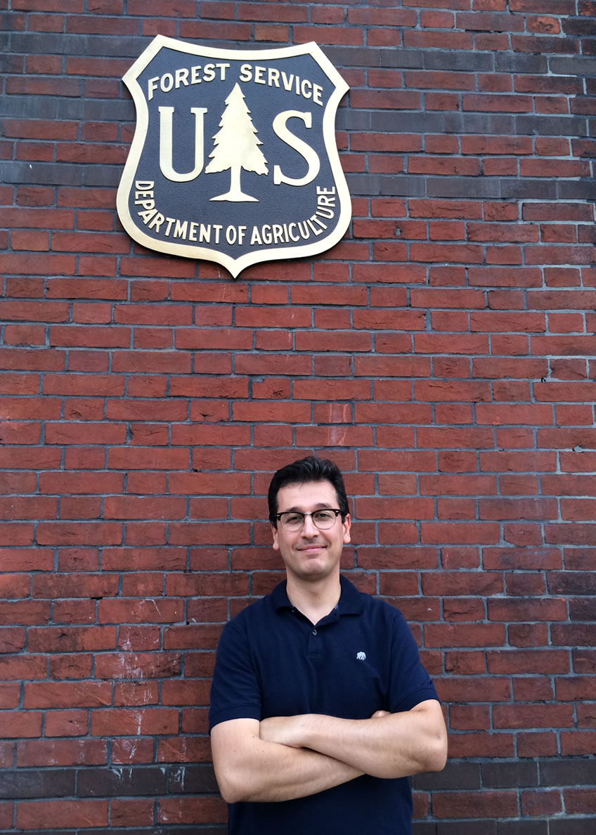 Sinan A. Abood holds a Bachelor's degree in Chemical Engineering, University of Bagdad, Iraq. Master's of Science in Environmental Engineering/Water Treatment, 2007 (Fulbright scholarship) and PhD. in Environmental Engineering/ GIS & Remote Sensing Applications, 2011 at the School of Forest Resources & Environmental Science-Michigan Technological University. His first postdoctoral assignment was with the Institute of Terrestrial Ecosystems at the Swiss Federal Institute of Technology ETH Zurich, Switzerland (2011-2014) as a Research Fellow working on estimating the role of land extracting industries (oil palm plantation, acacia/pulp, and logging) on natural habitats loss and measures the impacts of land cover change on tropical biodiversity in Southeast Asia. Currently he is performing his second postdoctoral assignment as a Spatial Analyst-Research Fellow with the Watershed, Fish, Wildlife, Air, and Rare Plants (WFWARP) program, Washington Office USDA Forest Service. His research focuses on three main objectives, developing a spatial integration between two national monitoring systems the Watershed Condition Classification (WCC) and Terrestrial Condition Assessment (TCA) within one unified reporting frame the Watershed Classification Frame (WCF), developing a riparian areas inventory/monitoring system for National Forest and Rangelands utilizing the Riparian mapping tool (RBDM), and incorporating the use of Unmanned Aerial Systems (UAS) applications in forest monitoring, wildlife applications, illegal logging, surveying and ecosystem managements.
Please click only once on each video recording to view in this window.
Part 1: Introduction: Marla Stelk, Policy Analyst, Association of State Wetland Managers Presenter: Sinan A. Abood, USDA Forest Service
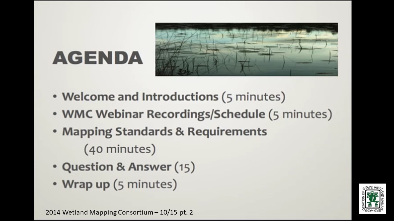
Mapping Standards & Requirements
Held Wednesday, October 15, 2014 - 3:00 p.m. ET
INTRODUCTION
- Marla Stelk, Policy Analyst, Association of State Wetland Managers [PRESENTATION PDF]
PRESENTER
- Rusty Griffin, U.S. Fish & Wildlife Service [PRESENTATION PDF]
ABSTRACT
With the completion of digital wetland mapping for the lower 48 states and Hawaii, the National Wetlands Inventory (NWI) is transitioning its mission of creating wetland maps to maintaining and updating the wetlands layer of the National Spatial Data Infrastructure (NSDI). This data stewardship role will rely on our stakeholders, such as Federal, State, Tribal and territorial agencies to assume more wetland mapping responsibilities and to produce new and updated wetland data for their areas of interest. This presentation outlined data requests and submission procedures to ensure wetland data are compliant with federal standards and integrated into the NSDI. It also discussed wetland mapping standards and compliance with federally mandated statutes utilizing tools, models and expertise provided through a strong partnership with the NWI.
BIO
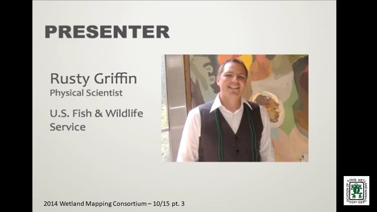
 Rusty Griffin is a Physical Scientist for the U.S. Fish and Wildlife Service's, National Standards and Support Team in Madison Wisconsin. He is the National Coordinator for quality assurance and quality control providing national consistency for the wetlands layer of the National Spatial Data Infrastructure. Rusty has over 8 years of experience in wetland mapping – creating NWI maps as a private contractor and a federal employee, holds a B.S. in Geology from Portland State University, and is a member of the National Technical Committee for Hydric Soils.
Please click only once on each video recording to view in this window.
Part 1: Introduction: Marla Stelk, Policy Analyst, Association of State Wetland Managers
Presenter: Rusty Griffin, U.S. Fish & Wildlife Service

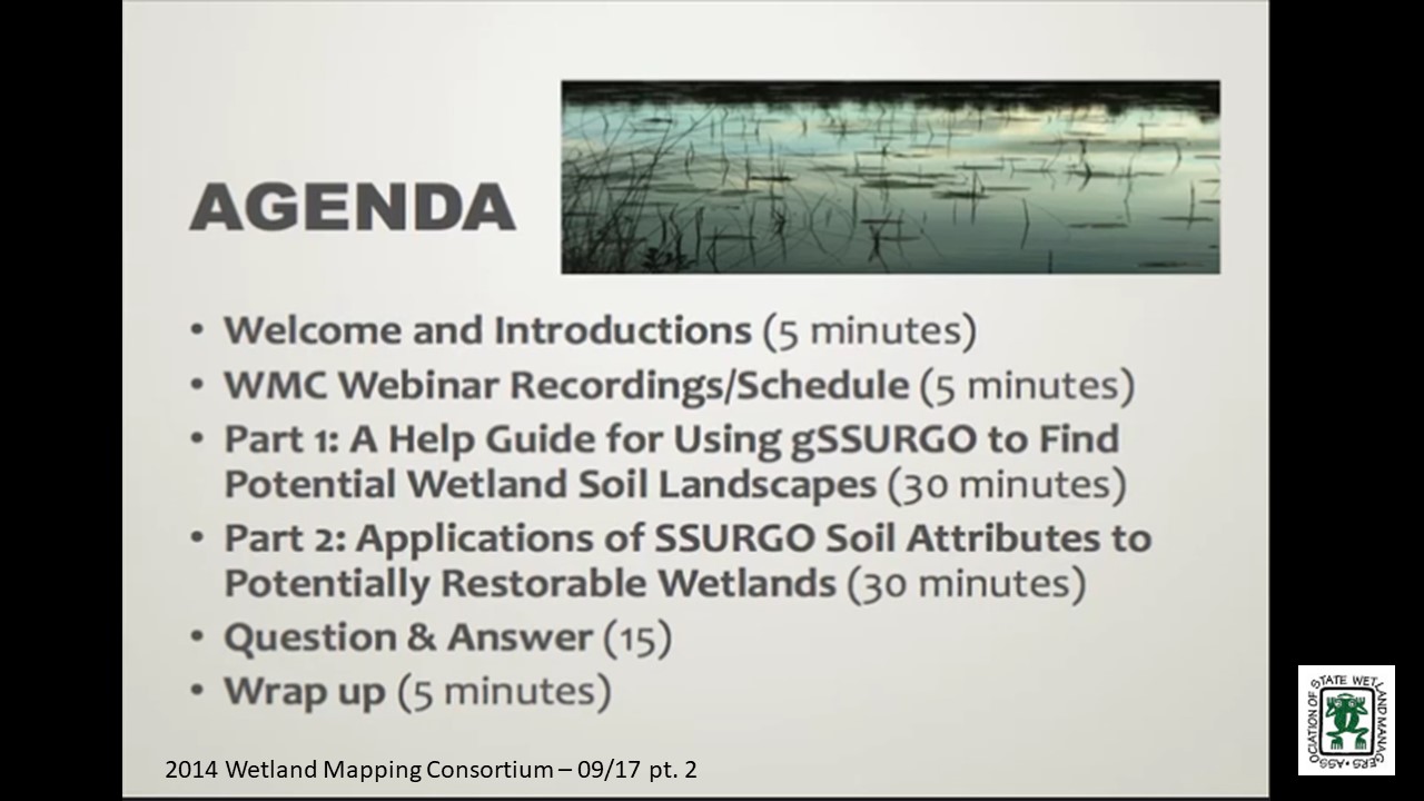
Part 1: A Help Guide for Using gSSURGO to Find Potential Wetland Soil Landscapes
Held Wednesday September 17, 2014 – 3:00 p.m. ET
INTRODUCTION
- Marla Stelk, Policy Analyst, Association of State Wetland Managers [PRESENTATION PDF]
PRESENTER
- John Galbraith, Virginia Tech [PRESENTATION PDF]
ABSTRACT
Gridded SSURGO (gSSURGO, a raster version of detailed soil survey maps) is a public domain soils data layer that can be used in combination with other data to find landscape units that have some potential for containing wetlands, or former wetlands. The presence of a hydric soil does not prove that an area is currently a jurisdictional wetland, due to significant nexus connectivity requirements. Wetland soils are hydric, and they remain hydric even if they have been drained. The premise is that if a landscape unit contains hydric soils but does not meet the hydrology or vegetation, it may have been a wetland once. If so, it can likely be more easily, reliably, and inexpensively restored than creating a wetland where none previously existed. The use of any soil survey requires knowledge of when the survey was made, the quality, scale, accuracy, and purity of the soils within mapped areas. Therefore, a help guide is in progress to provide an explanation of the gSSURGO product and some example procedures for using the product to find and understand potentially restorable wetland landscapes.
Part 2: Applications of SSURGO soil attributes to potentially restorable wetlands
PRESENTER
- Kevin Stark, Saint Mary’s University [PRESENTATION PDF]
PROJECT DESCRIPTION
A NOAA science collaborative grant has funded a project to examine wetland planning in a watershed context in Douglas County, Wisconsin. Concerns over recent large flooding events and a general concentration of wetland mitigation projects in the county have provided some of the impetus for the project. The project combines landscape-scale wetland functional assessment data and the identification of potential wetland restorations with local engagement and environmental planning.
BIOS
 John Galbraith received his B.S. and M.S. in Range and Wildlife Management at Texas Tech University. He worked for seven years as a USDA-SCS Soil Scientist in eight states. John received a Ph.D. in Soil Science at Cornell in 1997. He did a post-doc at the University of Florida, then began working at Virginia Tech in 1999. John teaches many soils and wetland courses and coaches the student soil judging team. He was a Fulbright Specialist in Nepal in 2012, he was co-lead on a study abroad course to Nepal in 2013 and has travelled to Senegal to conduct research on rice production in saline soils. John married Marilyn Braden in 1977 and they have five children and seven living grandchildren. He enjoys sports, exercise, outdoors, and nature.
 Kevin Stark is a G.I.S. and Natural Resource Analyst for GeoSpatial Services (GSS) at Saint Mary’s University of Minnesota (SMUMN), specializing in analyzing and communicating landscape scale spatial information. Kevin earned a B.S. of Forestry from the University of Wisconsin – Stevens Point and an M.S. in Geographic Information Science from Saint Mary’s University of Minnesota. Over the past eight years at GSS Kevin has worked on a variety of projects from oil industry data conversion and imagery processing to wetland mapping, wetland field verification, and natural resource condition assessments for the National Park Service, where he focused on topics such as land cover, native plant communities and natural disturbance regimes. Most recently Kevin has been engaged in wetland functional assessments. In his spare time Kevin loves scuba-diving, canoeing, gardening and especially fishing, in fact, a recent wetland field verification trip brought him to Alaska where he took a vacation day to get acquainted with lingcod.
Please click only once on each video recording to view in this window. Part 1: Introduction: Marla Stelk, Policy Analyst, Association of State Wetland Managers
Presenter: John Galbraith, Virginia Tech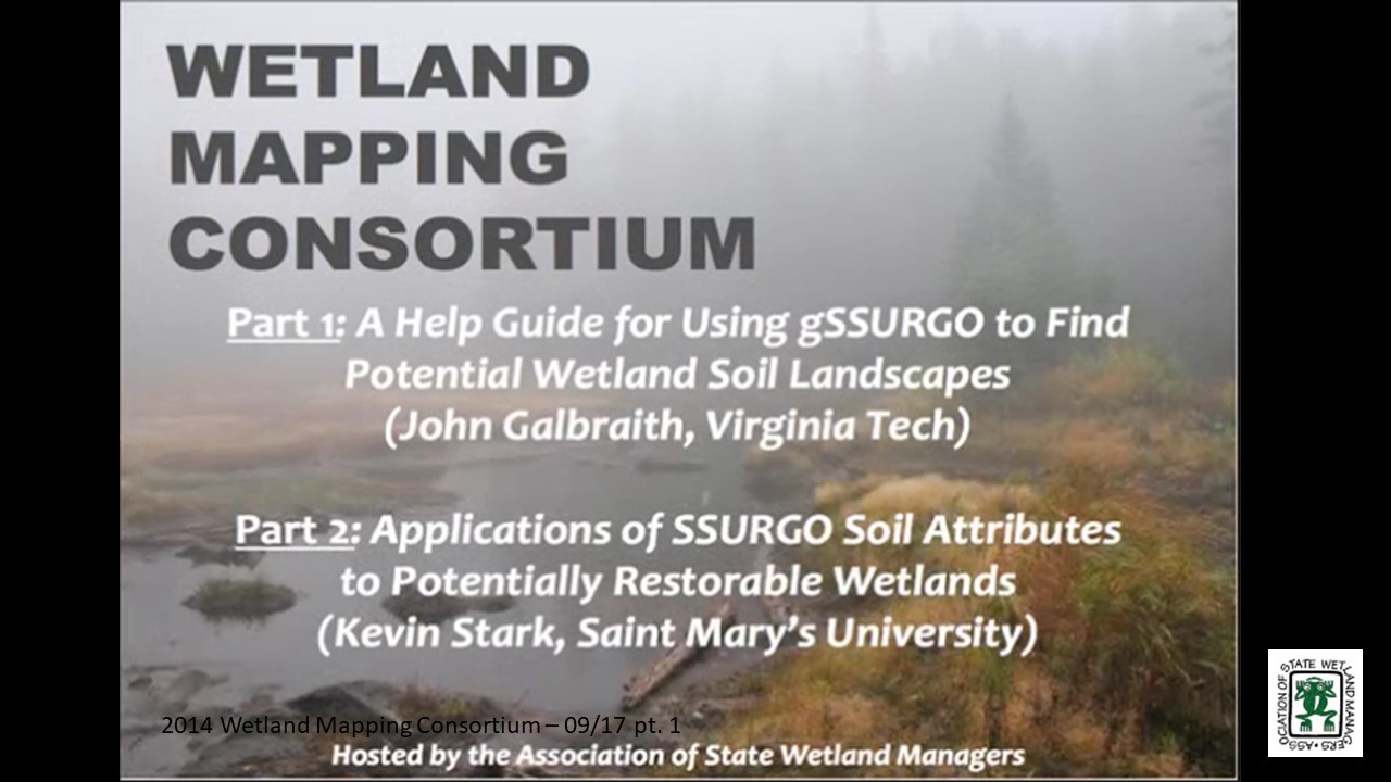
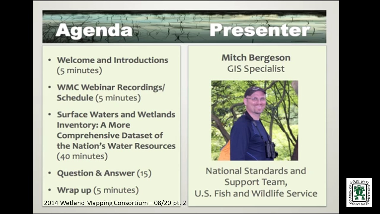
Surface Waters and Wetlands Inventory: A More Comprehensive Dataset of the Nation’s Water Resources
Held Wednesday, August 20, 2014 – 3:00 p.m. EDT
INTRODUCTION
- Marla Stelk, Policy Analyst, Association of State Wetland Managers[PRESENTATION PDF]
PRESENTER
- Mitch Bergeson, GIS Specialist, National Standards and Support Team, U.S. Fish and Wildlife Service [PRESENTATION PDF]
SUMMARY
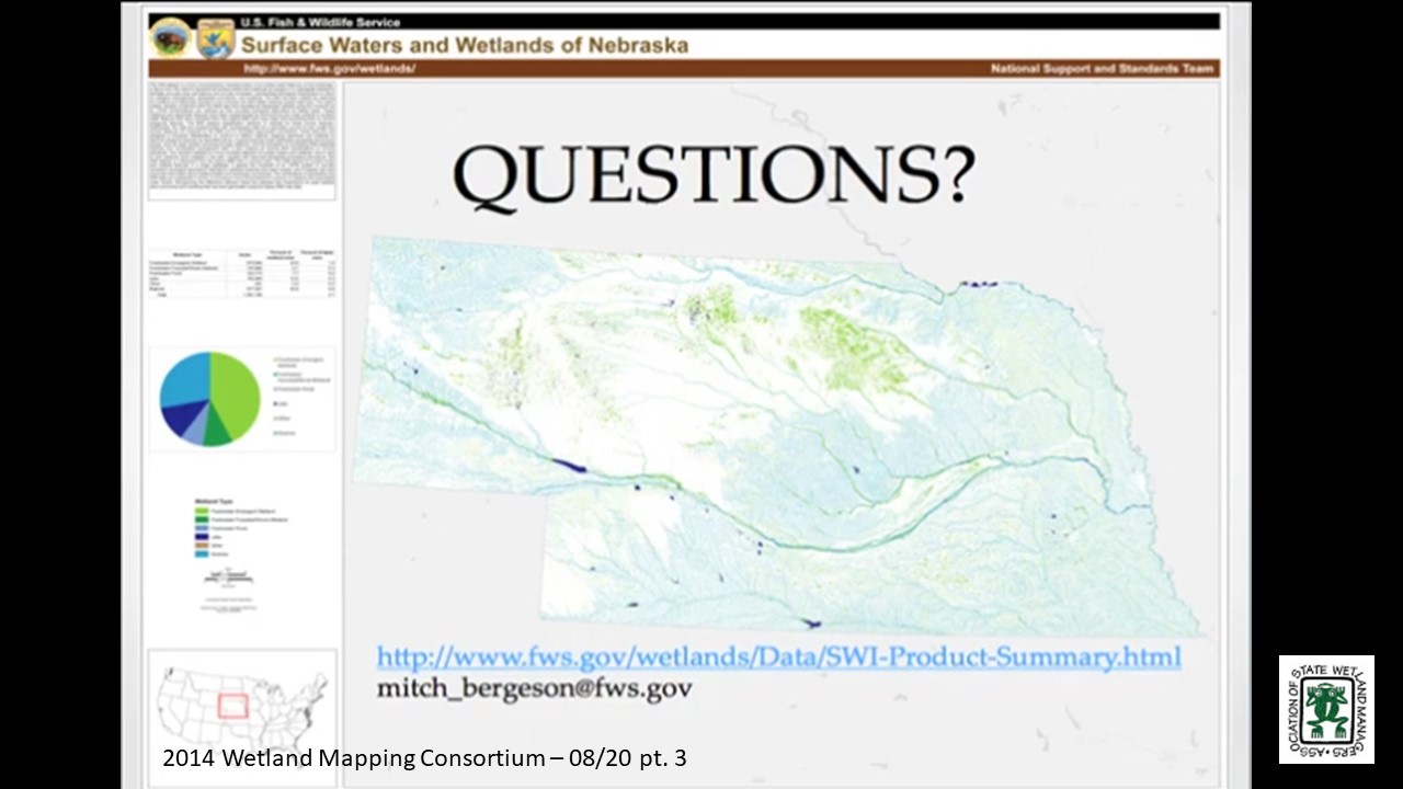
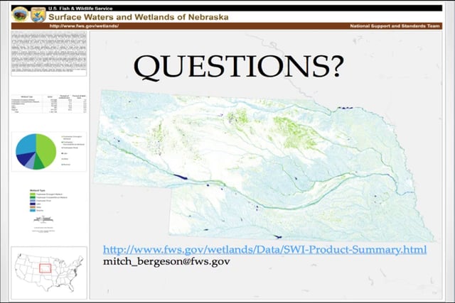
The Surface Waters and Wetlands Inventory (SWI) dataset provides more inclusive geospatial representation of all wetlands and surface water features on the landscape. It stems from the need to represent all surface waters and wetlands as polygons in a geospatial dataset to facilitate accurate area calculations and provide consistent, standardized ecological classification to allow for adaptive management, geospatial summaries, and modeling. The SWI has been created by retaining the wetland and deepwater polygons that compose the NWI digital wetlands spatial data layer and reintroducing any linear wetland or surface water features that were orphaned from the original NWI hard copy maps by converting them to narrow polygonal features. Additionally, the data are supplemented with hydrography data, buffered to become polygonal features, as a secondary source for any single-line stream features not mapped by the NWI and to complete segmented connections. This national geospatial data product will contribute substantially to improved modeling of flow, connectivity and water movement in surface water basins, channels, and wetlands.
BIO
 Mitch Bergeson is a GIS Specialist for the U.S. Fish and Wildlife Service's, National Standards and Support Team in Madison Wisconsin. He is the Project Lead for the National Wetlands Inventory database, Wetlands Mapper and the Wetlands Status and Trends Projects. Mitch has over 20 years of experience in the natural resource and geospatial fields and holds a B.S. in Biology from the University of Wisconsin - Stevens Point and an M.S. in Wildlife Ecology and Certificate Degree in GIS, both from the University of Wisconsin – Madison.
Please click only once on each video recording to view in this window. Part 1: Introduction: Marla Stelk, Policy Analyst, Association of State Wetland Manangers
Presenter: Mitch Bergeson, GIS Specialist, National Standards and Support Team, U.S. Fish and Wildlife Service
There was not a webinar for July.
Wetland Landscapes – Techniques for Spatial Definition and Ecological Assessment Using SSURGO, HGM, and GIS Tools
Held Wednesday, June 18, 2014 – 3:00 p.m. EDT
INTRODUCTION
- Marla Stelk, Policy Analyst, Association of State Wetland Managers [PRESENTATION PDF]
PRESENTER
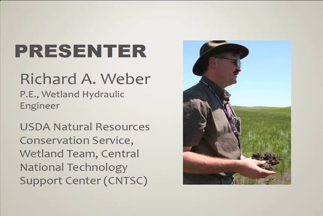
• Richard A. Weber, P.E., Wetland Hydraulic Engineer, Wetland Team, CNTSC [PRESENTATION PDF]
ABSTRACT
Wetland landscapes are spatial elements in a watershed network that consists of stream reaches of higher of lower order, headwaters, and contributing uplands that may contain wetlands. Each of these landscape positions can be rationally defined and mapped using abiotic parameters. Each element within those landscape positions can be associated with standard assessment tools that are appropriate for stream, wetlands, lentic and lotic landscapes, and other categories. Within similar watersheds, the hydrologic interactions between landscape elements are largely consistent. There are few methods that provide the means to merge existing landscape definitions and assessment methods in the watershed context. Presented are classification and mapping techniques that can be employed to categorize and map watershed landscape elements, correlate the existence of stream, wetland, and other elements with landscapes, and provide the basis for predicting hydrologic processes between landscapes. The techniques presented use GIS platforms with Digital Elevation Data (DED) and Soil Survey Geographic Database (SSURGO) information to define, categorize, and map wetlands in the watershed framework in various locations around the U.S. The Hydrogeomorphic (HGM) landscape classification system is introduced, and SSURGO database hydrologic parameters are presented. With proper, watershed-based landscape classification and hydrologic interpretations, ecological functions can be assigned, appropriate hydrologic restoration techniques can be selected, and management actions can be assigned to extent maps.
BIO
 Richard A. Weber is a Wetland Hydraulic Engineer with the USDA Natural Resources Conservation Service (NRCS), Wetland Team, CNTSC in Fort Worth, Texas from 2006 to present. In this role, Rich has provided national leadership on wetland hydrology, including: Support for Wetland Restoration Program, Wetland Protection Policy, and E.O. 11990 Wetland Assessments. He leads a national training cadre for Wetland Restoration and Enhancement and Hydrology Tools for Wetland Determination courses. From 2005-2006, Rich was Design Engineer at the NRCS Nebraska State Office where he had design and A&E Contracting responsibilities for PL-566, WRP, and EQIP programs. From 1999-2005, he was a Field Engineer at the NRCS in the Scottsbluff, NE Field Office where he had design, construction, and contracting responsibilities for the Wetland Reserve Program, EQIP Irrigation and Animal Waste Management, and CTA conservation practices. From 1997-1999, Rich was an Agricultural Engineer at the NRCS in Chehalis, WA where he had design, construction, and contracting responsibilities for Conservation District funded Stream Restoration and Fish Passage projects, and EQIP program Animal Waste Projects. And from 1986-1997, he was a Watershed Project Engineer at the NRCS in Horton, KS where he performed Construction Contract Administration for PL-566 Watershed Protection and Flood Prevention projects. He holds a B.S. in Agricultural Engineering from Kansas State University in 1982.
Part 1: Introduction: Marla Stelk, Policy Analyst, Association of State Wetland Managers
Please click only once on each video recording to view in this window.
Presenter: Richard A. Weber, P.E., Wetland Hydraulic Engineer, Wetland Team, CNTSC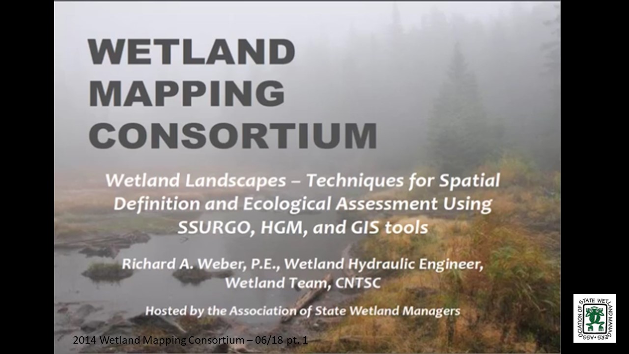
Using Land Cover Change Data to Better Understand Wetland Trends
Held Wednesday May 21, 2014 – 3:00 p.m. EDT
INTRODUCTION
- Marla Stelk, Policy Analyst, Association of State Wetland Managers [PRESENTATION PDF]
PRESENTER
- Nate Herold, Physical Scientist, NOAA Coastal Services Center [PRESENTATION PDF]
ABSTRACT
Land use and land cover are significant drivers of environmental health. Information on how land cover is changing and where those changes are occurring is essential to understanding impacts from past management practices and choosing the right course for the future.
Through its Coastal Change Analysis Program (C-CAP), the National Oceanic and Atmospheric Administration (NOAA) produces nationally standardized land cover and change information for the coastal regions of the U.S. These products provide inventories of coastal inter-tidal areas, wetlands, and adjacent uplands (using documented, repeatable procedures), and are updated approximately every five years. This program has been in existence since the mid-1990s and features multiple dates of change information for most coastal areas of the U.S.
This presentation will summarize the availability of C-CAP data, how that data can be accessed via NOAA’s Digital Coast, recent improvements to wetland mapping accuracies, and how C-CAP can be used to highlight areas of wetland change and loss in order to inform more detailed mapping efforts (such as National Wetland Inventory mapping). The case studies provided show the audience what C-CAP data can and cannot do in terms of helping users understand wetland change, and the valuable insights this information can provide.
BIO
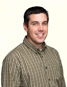 Nate Herold is with the Geospatial Solutions Program at the National Oceanic and Atmospheric Administration's Coastal Services Center (CSC) in Charleston, SC where he leads up the NOAA’s land cover mapping activities, managing the Coastal Change Analysis Program (C-CAP). C-CAP is a nationally standardized database of land cover and change information developed for the Nation’s coastal regions. These products are developed utilizing remotely sensed imagery and can be used to track changes in the landscape through time.
Nate came to the NOAA after several years working in the private sector, where he was involved in the production of land cover products worldwide. He has a Bachelors in Soil Science, from Penn State University; and Masters in Geography, from George Mason University.
Please click only once on each video recording to view in this window. Part 1: Introduction: Marla Stelk, Association of State Wetland Managers
Presenter: Nate Herold, Physical Scientist, NOAA Coastal Services Center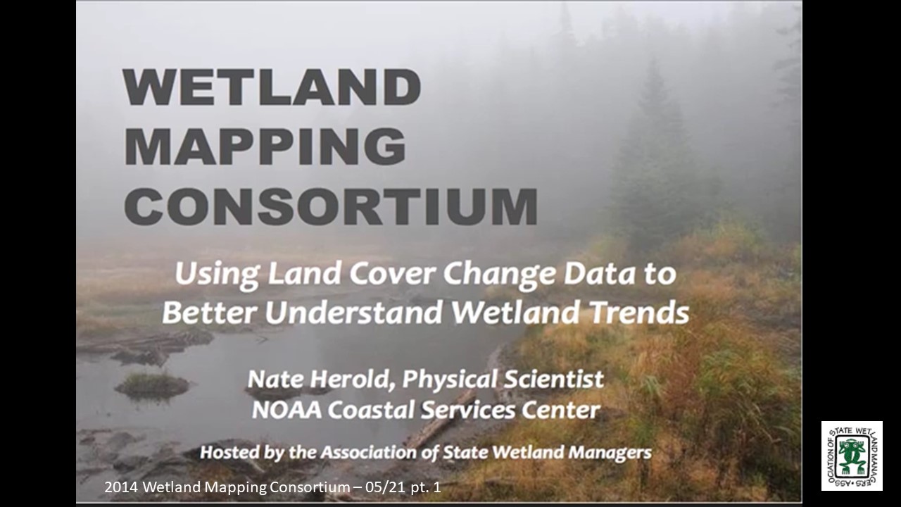

Held Wednesday, April 16, 2014 – 3:00 p.m. EST
INTRODUCTION
- Marla Stelk, Policy Analyst, Association of State Wetland Managers [PRESENTATION PDF]
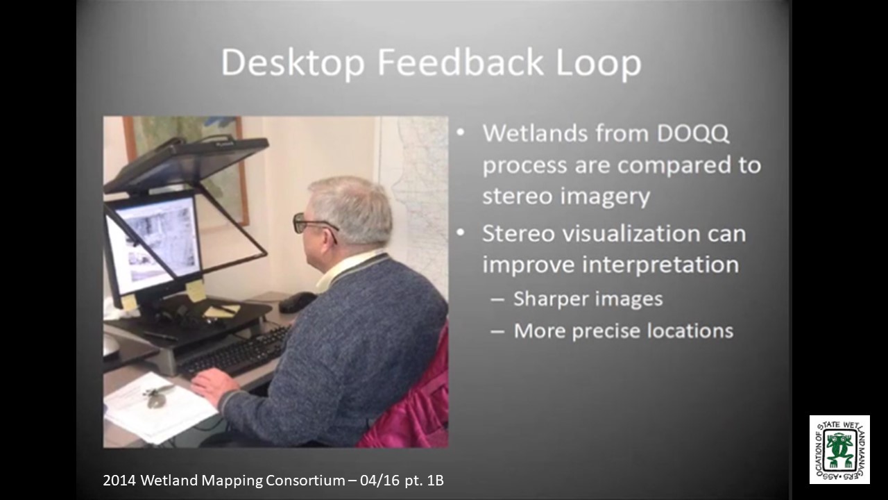
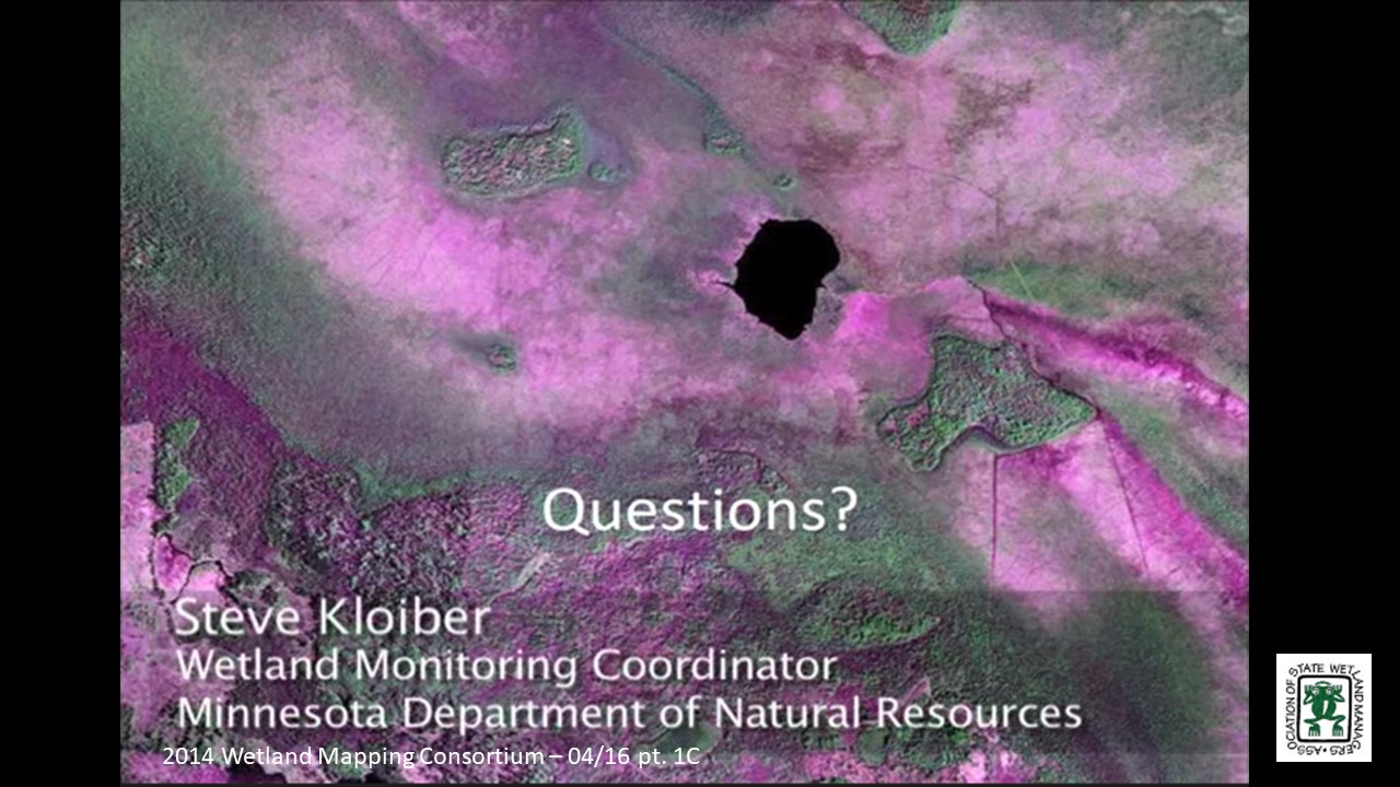
The Minnesota NWI Update: A Case Study of Quality Assurance
PRESENTER
- Steve Kloiber, P.E., Ph.D., Wetland Monitoring Coordinator, Minnesota Dept. of Natural Resources [PRESENTATION PDF]
ABSTRACT
Updating the NWI is a key component of Minnesota’s strategy to monitor and assess wetlands in support of efforts to ensure healthy watersheds and clean water. The NWI update is a major endeavor with a 10-year timeline and a multi-million-dollar budget. One of the keys to a successful project, such as this, is a well-designed quality assurance (QA) program. This presentation provided an overview of the Minnesota NWI update project and provide details on the QA program. A well-designed QA program has clear, measurable objectives, an effective framework, and solid integration throughout the production process. Performance measurement systems implemented for this project include multiple levels of visual inspection, field-checks, crowd-source data review, automated GIS checks, and formal statistical testing for classification accuracy.
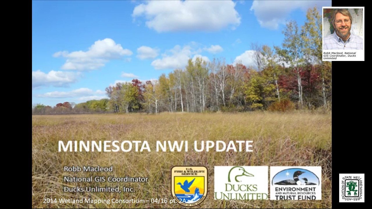
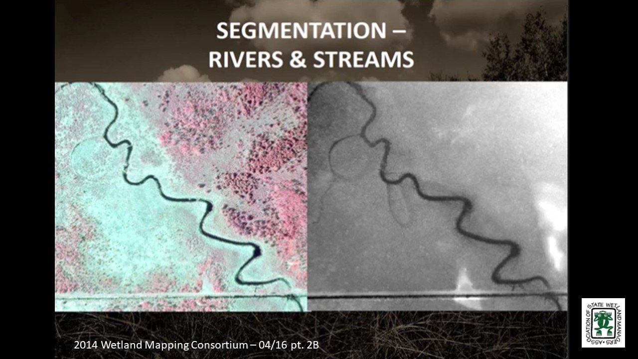
The Minnesota NWI Update: Integrating Semi-automated Mapping Techniques into Production Level Wetland Mapping
PRESENTER
- Robb Macleod, National GIS Coordinator, Ducks Unlimited [PRESENTATION PDF]
ABSTRACT
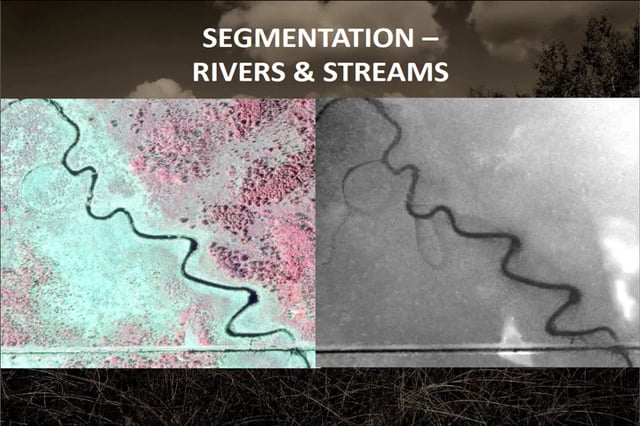
The goal of the semi-automated mapping for the NWI update in Minnesota was to reduce the amount of time the photo interpreters spend on delineating wetland boundaries so they can focus their efforts on identifying the wetland class, water regime, and modifiers. At the beginning of the Minnesota NWI update project, wetland mapping methods were developed by the University of Minnesota. Ducks Unlimited modified these techniques so they could be utilized at a production level over large areas. This presentation will provide an overview on the process Ducks Unlimited, and its partners have used in order to generate wetland boundaries for the photo interpretation process. The use of these techniques has the potential to increase the efficiency and accuracy of NWI updates throughout the country.
BIOS
Steve Kloiber is the wetland monitoring coordinator for the Minnesota DNR, where he oversees the wetland status and trends monitoring program and the update of the National Wetland Ivnentory for Minnesota. He has over twenty years of experience in the water resources field with a special focus on geospatial analysis and environmental informatics. He received his master’s and doctoral degrees from the University of Minnesota in environmental engineering with a minor in water resource science and his bachelor’s degree in chemistry with a computer science concentration from St. Olaf College.
 Robb Macleod is the National GIS Coordinator for Ducks Unlimited, where he coordinates the GIS and Remote Sensing activities for Ducks Unlimited throughout the United States. He has over twenty years of experience in the natural resources and geospatial fields. He received his bachelor’s degree from Michigan State University in forestry and his master’s degree in natural resources with a GIS/Remote Sensing concentration from the University of New Hampshire.
Please click only once on each video recording to view in this window. Introduction: Marla Stelk, Policy Analyst, Association of State Wetland Managers
Held at March 4-6, 2014: ASWM Winter Meeting Workshop
Held Wednesday, February 19, 2014 – 3:00 p.m. EST
INTRODUCTION
- Marla Stelk, Policy Analyst, Association of State Wetland Managers [PDF PRESENTATION]
Mapping Forested Wetland Inundation with the Landsat historic Record
PRESENTER
- Megan Lang, Senior Research Scientist with Science Systems and Applications, Inc. and Coordinator of the U.S. Department of Agriculture Mid-Atlantic Wetland Conservation Effects Assessment Project [PDF PRESENTATION]
ABSTRACT
Wetland areas in the Mid-Atlantic region are inundated or saturated for a relatively short period, usually in the spring after snowmelt and before leaf-out so monitoring the hydrologic condition of wetlands can be difficult. Remote sensing provides a major data source for monitoring wetland dynamics. The purpose of this study was to develop a new approach to map wetland inundation using combined data from LiDAR (Light Detection and Ranging) and Landsat time series data. The results demonstrate that accurate maps of wetland inundation can be developed using this approach and that Landsat images can be calibrated to reveal the inundation state of wetlands over large regions. The importance of this finding is linked to the 40+ year continuous record of Landsat images, which can now be used to look at long-term trends in wetland hydrology. This will enhance our ability to detect influences of climate and land use change on wetland ecosystems and the health of the Chesapeake Bay.
Mapping the Relationship between Inundation and Stream Flow using Landsat Time Series Data
PRESENTER
- In-Young Yeo, Assistant Professor of Geographical Sciences, University of Maryland
ABSTRACT
While it is known that wetland hydrology is affected by the climate, the relationship among wetland inundation extent, weather variability, and downstream hydrology has rarely been assessed at the landscape scale. We report findings from time series satellite observations that illustrate changes in wetland inundation in depressional palustrine forested wetlands located in the Coastal Plain of the Chesapeake Bay Watershed at a high spatial resolution (30 m) over the period 1985-2010. Mapping results demonstrate that extent of wetland inundation is highly variable. Inundation extent changes in response to weather variability, and it was proportionally related to the downstream flow discharge, but this relationship varies according to NWI wetland hydrologic modifiers. This study demonstrates that inundation patterns of headwater wetlands that are often considered to be geographically isolated are strongly related to stream discharge, thus supporting the conclusion that all wetlands and streams are closely linked at the watershed scale within the Maryland Coastal Plain.
BIOS
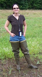 Dr. Megan Lang is a Senior Research Scientist with Science Systems and Applications, Inc. and Coordinator of the U.S. Department of Agriculture Mid-Atlantic Wetland Conservation Effects Assessment Project. After earning her bachelors (Biology and Geology) from the College of Charleston in South Carolina, she obtained her doctorate in Geography from the University of Maryland. She is currently working to assess the effect of conservation practices, including wetland restoration, on the provision of ecosystem services. She specializes in characterizing the location and function of wetlands and other aquatic ecosystems through the use of advanced geospatial data and techniques.
Part 1: Introduction: Marla Stelk, Policy Analyst, Association of State Wetland Managers In-Young Yeo, Ph.D. is an assistant professor of Geographical Sciences at the University of Maryland. Her research interests include watershed hydrology, Geographical Information Sciences, and spatial optimization for decision making. She is interested in studying the impacts of land use changes and management practices on water resources using various geospatial information, field monitoring data, and numerical models. In-Young is working to understand the role of wetlands in improving water quality and their hydrological connection to the streams. She has Ph.D. in City and Regional Planning from Ohio State University (OSU) and BS and MS in Civil and Environmental Engineering.
Please click only once on each video recording to view in this window.
Presenter: Megan Lang, Senior Research Scientist, Science Systems and Applications, Inc. and Coordinator of the USDA Mid-Atlantic Wetland Conservation Effects Assessment Project
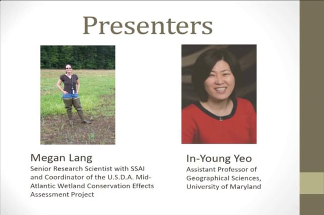
Note: Mapping the Relationship between Inundation and Stream Flow using Landsat Time Series Data will be uploaded at a later date.
The Evolution of NWI and How it Has Changed: A Comparison of Old and New Methodologies, Strengths and Weakness
Held Wednesday, January 22, 2014 - 3:00 p.m. EST
INTRODUCTION
- Marla Stelk, Policy Analyst, Association of State Wetland Managers [PDF PRESENTATION]
PRESENTER
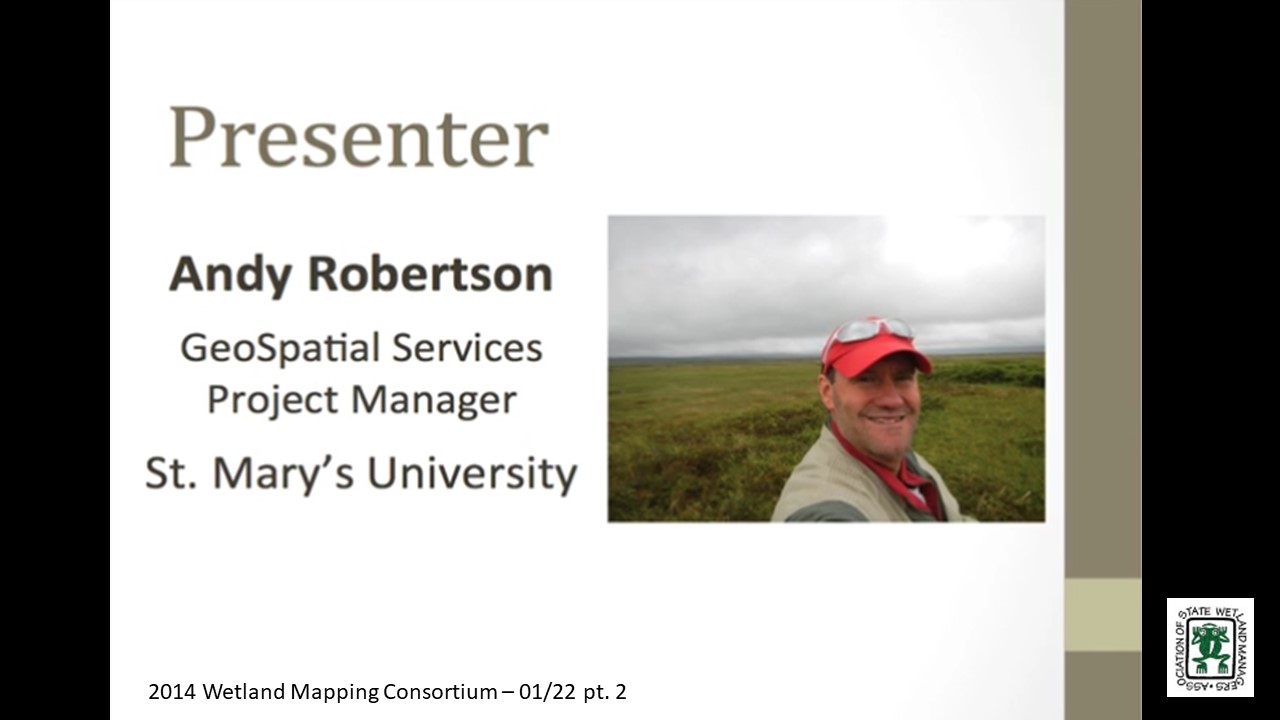
- Andy Robertson, Saint Mary’s University of Minnesota [PDF PRESENTATION]
SUMMARY
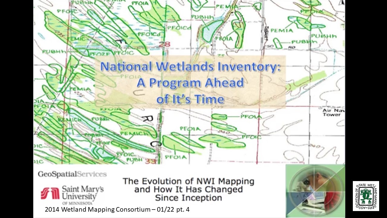
Since 2002, Saint Mary’s University of Minnesota GeoSpatial Services (GSS) has been partnering with the National Wetland Inventory Program and other federal and state agencies to update digital wetland mapping across the nation. Through numerous projects in a range of different ecoregions, GSS has had the opportunity to work with: increasingly more detailed aerial and space-based imagery; new technologies for wetland delineation and classification; a wide variety of collateral spatial data sources; and new tools for data validation and quality assurance. In this webinar we examined how GSS continues to employ traditional wetland image interpretation techniques in a fully digital environment supported by a wide range of collateral datasets and new spatial tools in order to meet the FGDC Federal Wetland Mapping Standard. In short, when compared to original NWI for the same areas, these new wetland geodatabases provide: more detailed delineation; improved spatial accuracy; additional/enhanced attribution (e.g. LLWW, HGM, adjacent land use, watershed and ecoregion address etc.); greater support for end used applications; and cost effectiveness.
BIO
 Andy Robertson joined Saint Mary’s University as GeoSpatial Services Project Manager in 2004. In this current position, he is responsible for the management of project resources for a wide range of wetland inventory, spatial data development and natural resource related projects. Andy has over 25 years of natural resource project management experience with both the public and private sectors and as a consultant. Andy earned a Forest Technology Diploma from Sault College of Applied Technology in Ontario, Canada, a B.S in Environmental Science from the University of Waterloo and completed post graduate work at the University of Toronto. Andy is a Registered Professional Forest Technologist and a member of both the Canadian Institute of Forestry and the Society of American Foresters.
Please click only once on each video recording to view in this window.
Part 1: Introduction: Marla Stelk, Association of State Wetland Managers
Presenter: Andy Robertson, Saint Mary’s University of Minnesota

View Past Wetland Mapping Consortium Webinars
PDF List of Past Wetland Mapping Consortium Webinar Recordings Here
View Upcoming Wetland Mapping Consortium Webinars
Next Steps and Future Directions
Held October 26, 2011
Developing Unique identifiers for Mapping Wetlands
Held July 13, 2011
Using the Wetland Mapping Consortium (WMC) Scholar Site
Held June 28, 2011
- PowerPoint presentation is available in PDF, click here.
Enhancing Wetland Conservation through Improved Mapping and Monitoring
Held May 18, 2011, 2:00 p.m. EST
- PowerPoint presentation is available in PDF, click here.
View Past Wetland Mapping Consortium Webinars
PDF List of Past Wetland Mapping Consortium Webinar Recordings
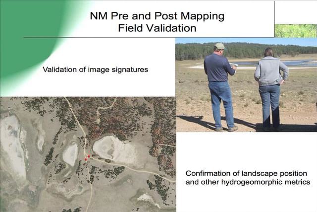
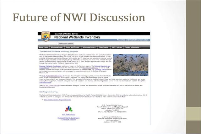
Wetlands Assessment and Level I Mapping Techniques
Held November 28, 2012 – Rescheduled for November 28
PRESENTER
Please click only once on each video recording to view in this window.
Part 1: Introduction: Jeanne Christie, Association of State Wetland Managers
Presenter: Andy Robertson, St. Mary’s University of Minnesota
Wetlands Data in the National Atlas
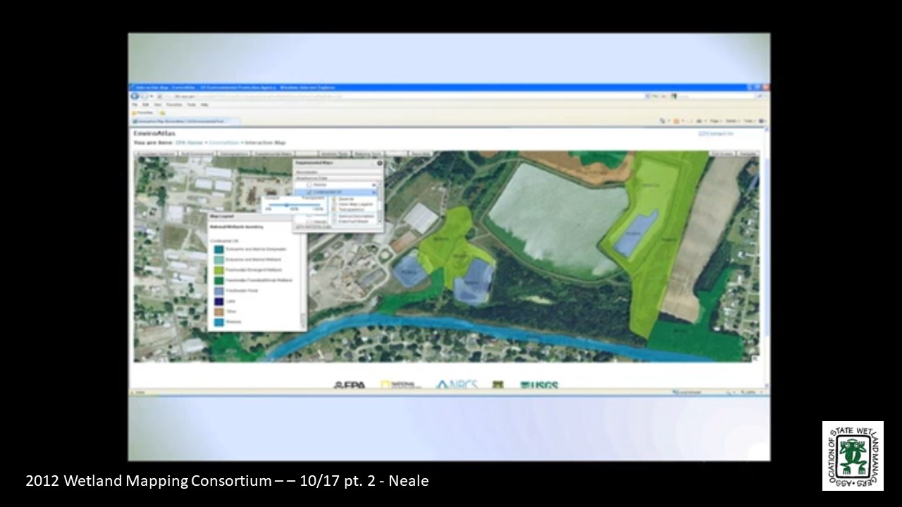
Held October 17, 2012 – 3:00 p.m. EST
PRESENTER
- Annie Neale, U.S. Environmental Protection Agency
Please click only once on each video recording to view in this window.
Part 1: Introduction: Jeanne Christie, Association of State Wetland Managers
Presenter: Annie Neale, U.S. Environmental Protection Agency
Held September 19, 2012 – 3:00 p.m. EST
Conference Call
Agenda
Welcome and Introductions
Recommended Topics for Future Webinars
SURRGO Wetland Soils Project Update
Discussion on 'How to' Map Natural Floodplains
Update on What Folks are doing
Wrap-up
Wetland Mapping Consortium Project Summary January 2012
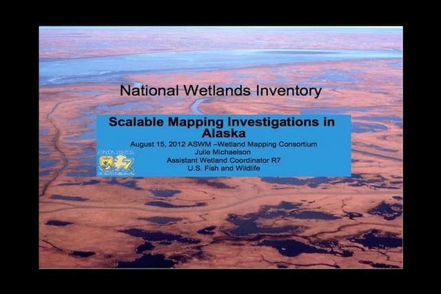
Held August 15, 2012 – 3:00 p.m. EST
PRESENTERS
- Tom Dahl, U.S. Fish and Wildlife Service
- Bill Wilen, U.S. Fish and Wildlife Service
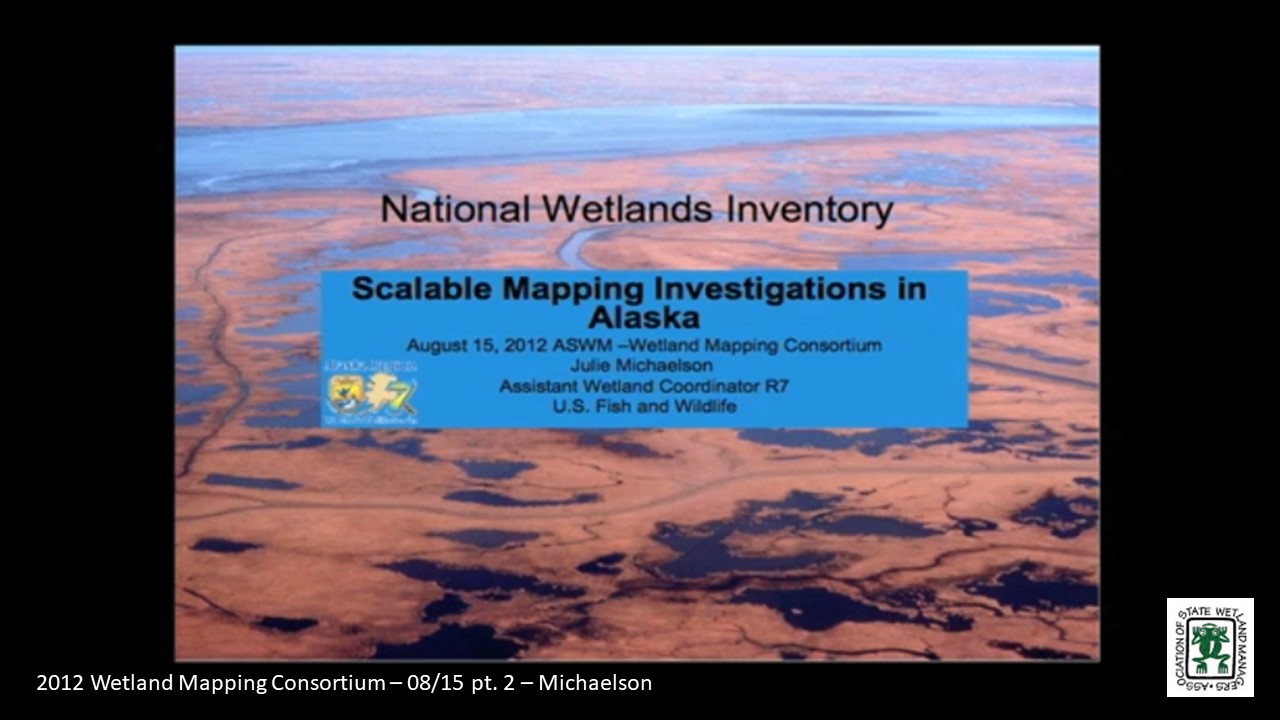
- Jill Michaelson, U.S. Fish and Wildlife Service
Part 1: Introduction: Jeanne Christie, Association of State Wetland Managers
Please click only once on each video recording to view in this window.
Presenters: Tom Dahl, Chief, National Standards and Support Team, National Wetlands Inventory, U.S. Fish and Wildlife Service and Bill Wilen, U.S. Fish and Wildlife Service
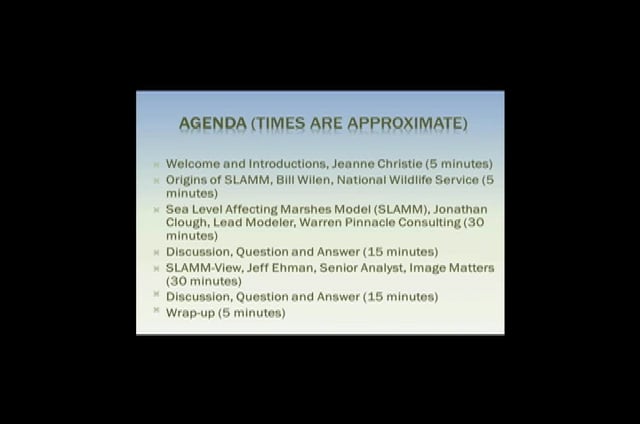
Sea Level Affecting Marshes Model (SLAMM) and SLAMM View
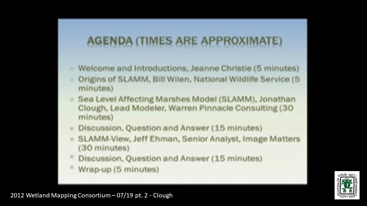
Held July 18, 2012 – 3:00 p.m. EST
Origins of SLAMM
- Bill Wilen, National Wildlife Service
Sea Level Affecting Marshes Model (SLAMM)
- Jonathan Clough, Lead Modeler, Warren Pinnacle Consulting
SLAMM-View
- Jeff Ehman, Senior Analyst, Image Matters
Please click only once on each video recording to view in this window.
Part 1: Introduction: Jeanne Christie, Association of State Wetland Managers
Presenter: Bill Wilen, National Wetlands Inventory, U.S. Fish and Wildlife Service
Held June 20, 2012 – 3:00 p.m. EST
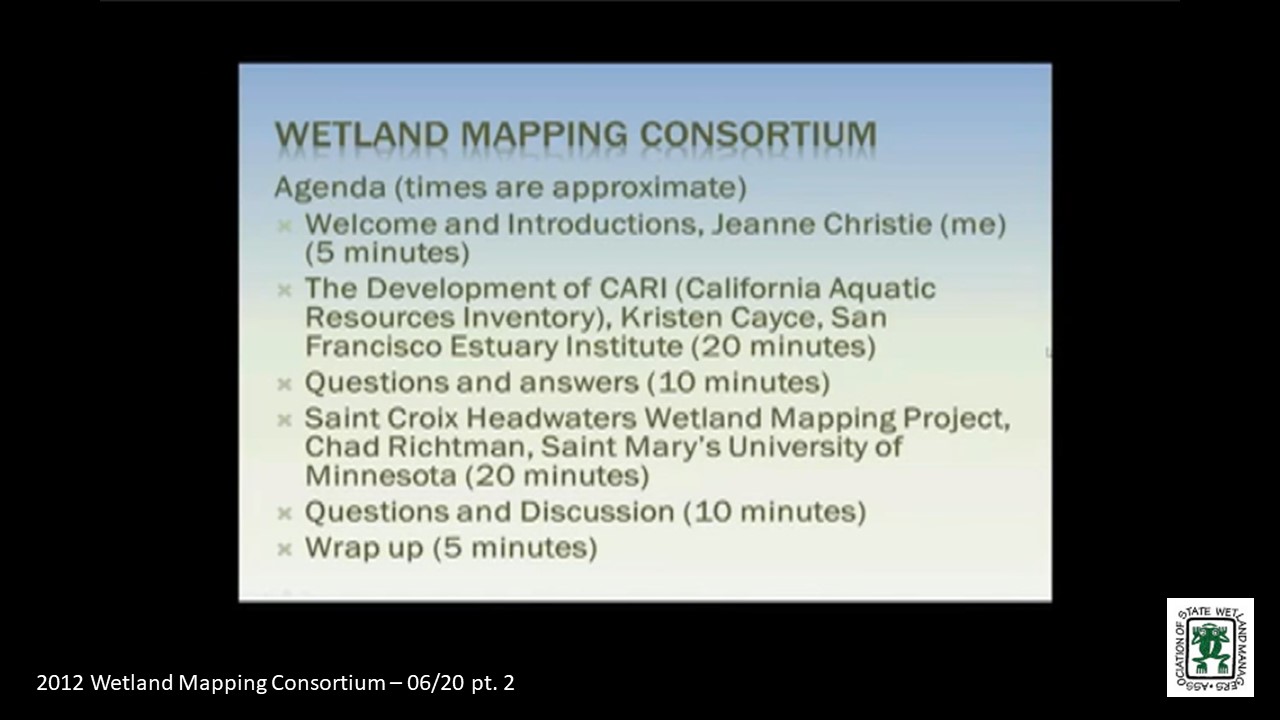
Development of CARI (California Aquatic Resources Inventory)
- Kristen Cayce, San Francisco Estuary Institute
Saint Croix Headwaters Wetland Mapping Project
- Chad Richtman, Saint Mary’s University of Minnesota
Please click only once on each video recording to view in this window.
Part 1: Introduction: Jeanne Christie, Association of State Wetland Managers
Presenter: Kristen Cayce, San Francisco Estuary Institute
Held May 16, 2012 – 3:00 p.m. EST
Automation Techniques for Mapping Wetlands
- Image Segmentation for Wetlands Inventory: Data Considerations and Concepts – Patrick Donnelly, Intermountain West Joint Venture
- Updating The Minnesota national wetland inventory, An integrated Approach Using Object-Oriented Image Analysis, Human Air-Photo Interpretation and Machine Learning – Aaron Smith, Equinox Analytics, Inc.
Conference Call – April 23, 2012 – Training Needed for WMC SURGGO Dataset
Held April 18 – 3:00 p.m.-4:30 p.m. EST
National Enhanced Elevation Requirements and Benefits Assessment and New LiDAR Standards
- USGS LiDAR Guidelines and Base Specifications v.13 – Dave Maune, Dewberry
- Use of LiDAR for Wetland Mapping – Amar Nayegandhi, Dewberry
- National Enhanced Elevation Requirements and Benefits Assessment – Greg Snyder, U.S. Geological Survey
Held March 15, 2012 – 8:30 a.m.- 12:00 noon
Restorable Wetlands Database Panel
- Demonstration of the Potential Wetland Soils Landscapes (SSURGO) Data Set – John Galbraith, Virginia Tech
- LiDAR Based Topographic Wetness Index – Megan Lang, U.S. Department of Agriculture, Forest Service
- Identifying Potentially Restorable Wetlands in WY – Andy Robertson, Saint Mary’s University of Minnesota
- Innovations in Integrated Resource Mapping
- National Atlas for Sustainability
- Marie Venner, Venner Consulting
- Anne Neale, U.S. Environmental Protection Agency
- Obtaining National Coverage for NWI: Strategy Sessions
- Alaska Project, Andy Robertson, Saint Mary's University of Minnesota
- Discussion
- Discussion on Potential Wetland Soils Landscapes Data Set and questions for speakers – All (Time Permitting)
Potential Wetland Soil Landscapes (SSURGO) Data Set
Held February 15, 2012 – 3:00 p.m.- 5:00 p.m. EST
Potential Soil Landscapes Dataset
- John Galbraith, Virginia Tech
Wetland Identifiers/Proposed Changes to Cowardin Classification
Held January 18, 2012 – 3:00 p.m.- 4:30 p.m. EST
Proposed Changes to Cowardin Classification System
- Bill Wilen, U.S. Fish and Wildlife Service
Development of Technical Guidance on Unique Identifiers for Mapping and Monitoring Wetlands
-
Jane Awl
View Past Wetland Mapping Consortium Webinars
PDF List of Past Wetland Mapping Consortium Webinar Recordings
View Upcoming Wetland Mapping Consortium Webinars
MEETING MATERIALS
Agenda with Presentations - Updated 9/7/22
(To open the agenda, please enter the password provided to you in the email note sent on 9/2/22.)
Photos to be added.
Speaker Resources
Submitted by Michael Callhan, Beaver Institute, Inc.
Connecticut Beaver Initiative cost-share grant program
BeaverCorps Training and Grant Programs
BeaverCon: Beavers Build Climate Resilience
Submitted by Alison Souders, U.S. Environmental Protection Agency
NAWM Publications
Urban Wetlands Protection and Restoration Guide (2021)
Beaver-Related Restoration National Dialogue Summary Report (2021)
Wetland Restoration: Contemporary Issues & Lessons Learned (2017)
ASWM Wetland Communications Case Studies Project Report (2017)
A Comparative Analysis of Ecosystem Service Valuation Decision Support Tools for Wetland Restoration (2016)
Government Liability and Climate Change: Selected Issues for Wetland and Floodplain Managers (2016)
Status and Trends Report on State Wetland Programs in the United States (2015)
NAWM Resources
404 Assumption Information Sheets & Tools (2021)
Beaver Related Restoration Information (2021)
Beaver-Related Restoration Online Training Series
Hydric Soils Online Training Series
Compensatory Mitigation Online Training Series
ASWM's Pipeline Permitting Project Tools & Resources (2017)
Thank you to our Sponsors
Egret Sponsor

Kingfisher Sponsors

Agenda
Marla Stelk, Executive Director
National Association of Wetland Managers
(207) 892-3399; marla@nawm.org
General Information
Laura Burchill, Office Manager
National Association of Wetland Managers
500 Washington Avenue, Suite 201, Portland, ME 04103
(207) 892-3399; Fax: (207) 894-7992; laura@nawm.org
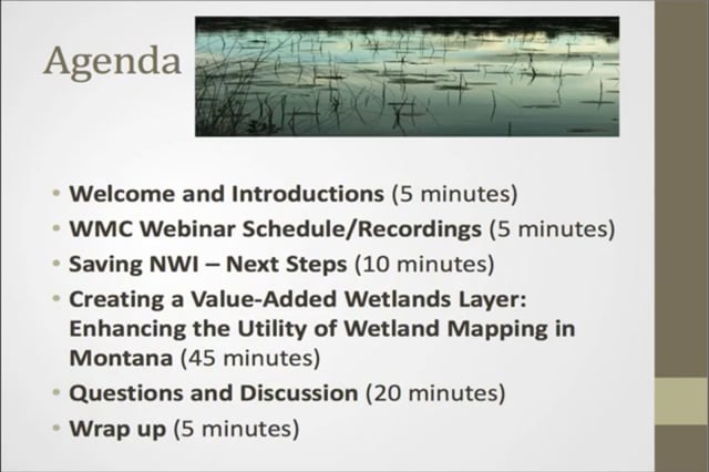
Creating a Value-Added Wetlands Layer: Enhancing the Utility of Wetland Mapping in Montana
Held Wednesday, December 18, 2013 at 3:00 p.m. EST
INTRODUCTION
- Jeanne Christie, Association of State Wetland Managers [PRESENTATION PDF]
PRESENTER
- Karen Newlon, Montana Natural Heritage Program [PRESENTATION PDF]
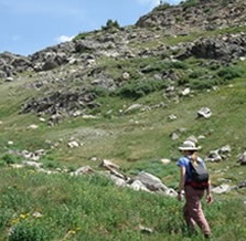
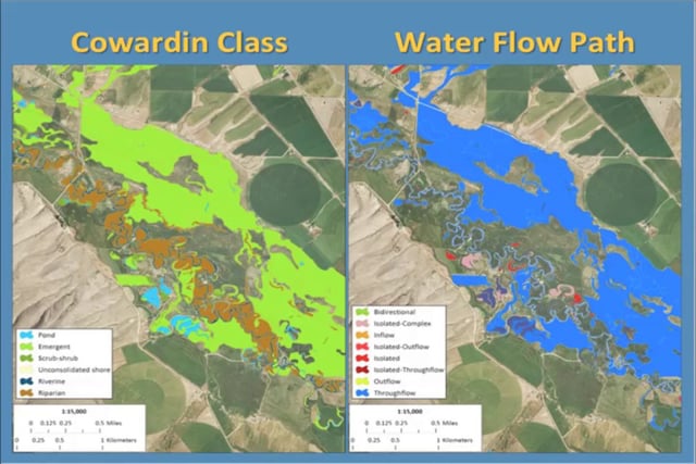
The Montana Natural Heritage Program (MTNHP) has been working towards the completion of statewide digital wetland mapping since 2007. Wetland mapping is incorporated into the NWI, and as such must follow the Wetland Mapping Standard endorsed by the Federal Geographic Data Committee. A key recommendation in this standard is to enhance the current wetland classification by incorporating descriptors that describe potential wetland function: landscape position, landform, water flow path, and waterbody type (LLWW). The use of these descriptors has been applied widely to NWI data across the eastern U.S. with the recent introduction of NWI+. Although LLWW descriptors have been successfully applied to wetlands in the eastern U.S., they may not fully address situations in the western U.S. without some modification. The MTNHP has developed spatial and attribute queries within a GIS to create a semi-automated procedure for the assignment of LLWW descriptors to wetland data. We will discuss the background, challenges, and future directions of this approach.
BIO
Karen Newlon has been an Ecologist with the Montana Natural Heritage Program since May 2008. She and other ecologists with the MTNHP have been developing GIS-based wetland assessments techniques and field-based wetland assessment methodologies with the goal of establishing a statewide wetland assessment and monitoring program. She also manages mapping projects completed by the MTNHP’s Wetland and Riparian Mapping Center, where they are working to create a statewide digital wetland and riparian data layer. She received her M.S. in Biological Sciences from Montana State University.
Part 1: Introduction: Jeanne Christie, Association of State Wetland Managers
Please click only once on each video recording to view in this window.
Presenter: Karen Newlon, Montana Natural Heritage Program
NWI+ Data What It Is and How It's Being Used
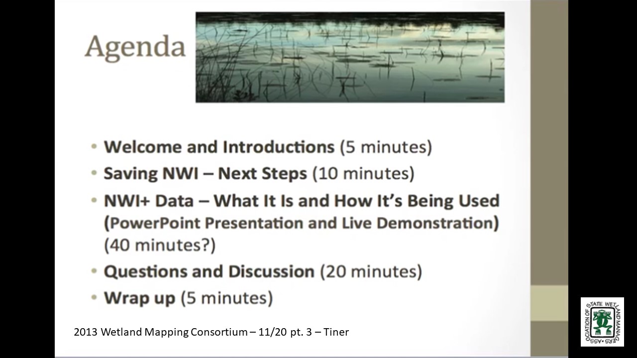
Held Wednesday, November 20, 2013 at 3:00 p.m. EST
INTRODUCTION
- Jeanne Christie, Association of State Wetland Managers [PRESENTATION PDF]
PRESENTER
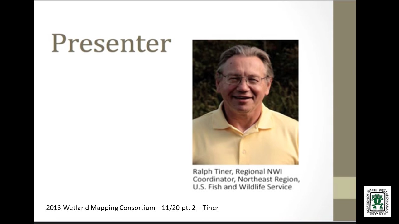
- Ralph Tiner, Regional NWI Coordinator, Northeast Region, U.S. Fish and Wildlife Service [PRESENTATION PDF]
SUMMARY
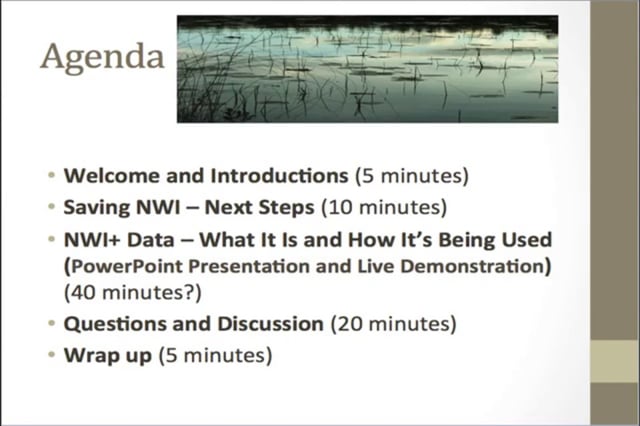
In response to rising interest in wetland functional assessment in the 1990s and the creation of HGM by Dr. Mark Brinson, the NWI’s Northeast Region saw an opportunity to increase the functionality of NWI data for landscape-level functional assessment and watershed planning. To do this, hydrogeomorphic type descriptors were defined and applied to NWI updates to create an expanded NWI database - NWI+ data. The combination of NWI and LLWW descriptors made it possible to predict numerous wetland functions for large geographic areas. This presentation will describe what constitutes an NWI+ database and show the kind of information that has been generated from these data and where such data are available, in progress, or planned with emphasis on NWI projects. The findings of NWI+ projects are posted online at “Wetlands One-Stop Mapping” – a component of the Association of State Wetland Managers website.
BIO
 Ralph Tiner has served as Regional Wetland Coordinator for the Northeast Region of the U.S. Fish and Wildlife Service for over 35 years. In this capacity he has directed the National Wetlands Inventory in 13 states from Maine through Virginia. He has written over 250 publications on a variety of topics ranging from the results of NWI mapping projects to wetland identification and classification to wetland trends and functional assessment. He has adapted Brinson's HGM concept for enhancing NWI data to create "NWI+ databases" that allows for improved wetland characterization and prediction of wetland functions at the landscape level.
Part 1: Introduction: Jeanne Christie, Association of State Wetland Managers
Please click only once on each video recording to view in this window.
Presenter: Ralph Tiner, Regional NWI Coordinator, Northeast Region, U.S. Fish and Wildlife Service

Held Tuesday, September 17, 2013 at 2:00 EST
INTRODUCTION
- Jeanne Christie, Association of State Wetland Managers [PRESENTATION PDF]
PRESENTER
- Kevin Coulton, cbec, eco engineering, inc. [PRESENTATION PDF]
About 10 years ago, Kevin was working with the USFWS on an assessment of flooding throughout the state of Oregon. Since FEMA floodplain map data are typically limited to locations where people and insured property are concentrated, he turned to soils data to map “geomorphic” or “natural” floodplains in other portions of the state. His presentation will cover this past work and recent updates to the initial methodology, assisted by his colleague Keenan Lorenzato. Additional spatial data and techniques will be presented--from ongoing regional floodplain restoration planning work in the Central Valley--that can augment and refine the spatial delineation of “natural” floodplains.
Soil Survey Information for Floodplain Mapping
PRESENTER
- David Hoovers and Sharon Waltman, Natural Resources Conservations Service
The USDA Natural Resources Conservation Service (NRCS) has been the lead agency on making soil maps of the nation for over 100 years. Besides mapping soil types and their physical and chemical characteristics, soil maps are also an excellent source of information on landforms. The presentation will cover the extent of soil maps in the country, the definitions of flooding classes used by NRCS for soil mapping units, and the field criteria used in assigning those classes.
In addition, extraction and mapping of soil map unit component monthly flooding frequency and/or duration using the Gridded Soil Survey Geographic Database (gSSURGO) will be presented for selected US landscapes. Animation of gSSURGO flooding frequency/duration throughout an annual cycle will be reviewed for viability in natural flood plain mapping projects.
BIOS Kevin Coulton is a Certified Floodplain Manager (CFM) and a Senior Ecoengineer with cbec eco engineering, inc. He has academic degrees in Civil Engineering and Landscape Architecture, and this led him into the world of flood management early in his career during which he has performed riverine and coastal flood studies for FEMA and has assisted FEMA headquarters on national flood policy issues. His ongoing interest is in the integration of ecological and engineering objectives in the management of our floodplains.
 David Hoover is currently the National Leader for Soil Business Systems for NRCS, a branch of the National Soil Survey Center in Lincoln, Nebraska, that deals with processes, tools, and systems for both field data collection and database and web information delivery. David has 36 years of field and management experience in soil science, field soil mapping, GIS, and remote sensing.
 Sharon Whitmoyer Waltman received an M. S. in Agronomy-Soil Genesis and Morphology (1988) from the Pennsylvania State University. She has mapped and managed soil geographic databases at the local, state, and National level with the USDA NRCS for 29+ years. She currently serves as a soil scientist-soil geographer performing research in new soil geographic data models with the National Soil Survey Center-Geospatial Research Unit located on campus at West Virginia University in Morgantown, WV. She is a member of the American Society of Agronomy, Soil Science Society of America, the International Union of Soil Science, the Association of American Geographers, and the Pennsylvania Association for Sustainable Agriculture.
Web Sites of Note
NRCS Soils Website – Latest information and links to technical and training documents
NRCS Soils YouTube Site – 100s of videos on soil topics
Web Soil Survey – Site for viewing, downloading, and report preparation
SoilWeb – Soils data that is GPS enabled (if your device is)
National Soil Survey Handbook – Guidelines and definitions
Part 1: Introduction: Jeanne Christie, Association of State Wetland Managers
Please click only once on each video recording to view in this window.
Presenter: David Hoover, Natural Resources Conversation Service
National Wetlands Inventory – Jeanne Christie and Marla Stelk, Association of State Wetland Managers
Held Wednesday, July 31, 2013 – Conference Call/Webinar
 National Wetland Inventory at Risk
By Marla Stelk – Association of State Wetland Managers – July 2013
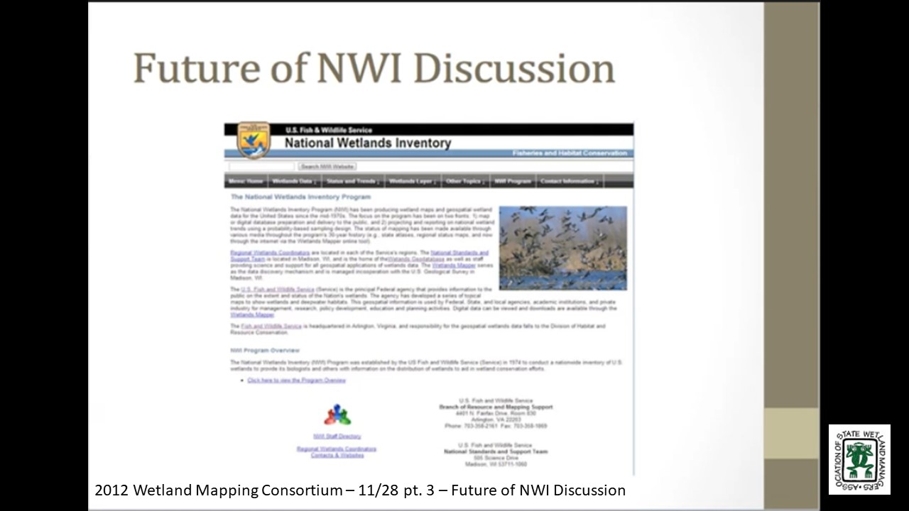
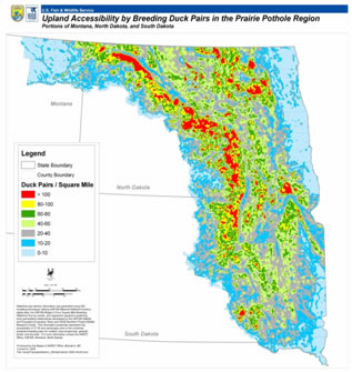
Maps have, and continue to be, useful tools for navigation, planning, and spacial awareness. They assist us in understanding our physical world beyond our immediate senses, in planning how we choose to interact with it, and in developing a deeper understanding of how the world as a whole interacts within an interconnected ecosystem. The National Wetlands Inventory (NWI) program, established by the U.S. Fish and Wildlife Service (FWS) in 1974, is one of the oldest and most frequently used government mapping resources. It was established with the mission to create a nationwide inventory of U.S. wetlands to provide biologists and other stakeholders with data and visual displays of the physical distribution of wetlands in an effort to assist in wetland protection and conservation. Throughout its history, the NWI program has diligently worked to support the FWS mission “to protect and enhance fish, wildlife, and plants and their habitats for the continuing benefit for the American people.” For full article in PDF, click here.
Iowa Wetland Assessment and Restoration Wetland Inventory
Held Wednesday, June 26, 2013 – 3:00 p.m. EST
INTRODUCTION
- Jeanne Christie, Assocation of State Wetland Managers [PRESENTATION PDF]
PRESENTER
 • Chris Ensminger, Iowa Department of Natural Resources [PRESENTATION PDF]
The ultimate goal of this multi-year project is to quantify the wildlife, water quality, flooding, and economic impacts associated with the restoration of any drained prairie pothole wetland in the state of Iowa. Phase I of the project was completed last year and focused on the processing of LiDAR elevation data to determine the basic characteristics of each basin (e.g. surface area, volume, maximum depth, etc.). Currently we are in Phase II which entails using those basin characteristics in conjunction with other datasets to estimate the aforementioned impacts. This presentation will describe the GIS processes utilized in Phase I, the methodology and rationale behind decisions being made in Phase II and our plans for Phase III.
Please click only once on each video recording to view in this window.
Part 1: Introduction: Jeanne Christie, Association of State Wetland Managers
Presenter: Chris Ensminger, Iowa Department of Natural Resources
Held May 15, 2013 – 3:00 p.m. EST
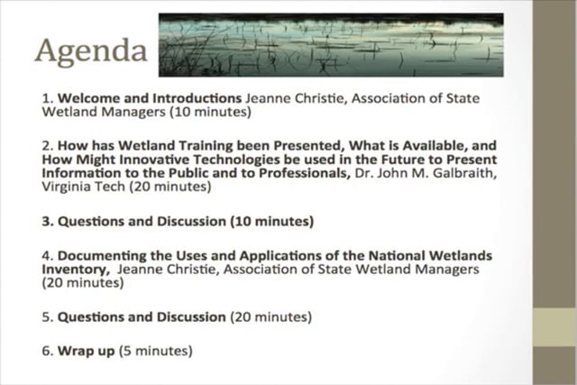
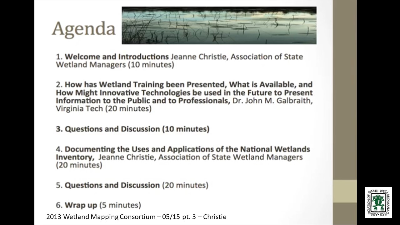
How has Wetland Training been Presented, What is Available, and How Might Innovative Technologies be used in the Future to Present Information to the Public and to Professionals
PRESENTER
- Dr. John M. Galbraith, Virginia Tech [PRESENTATION PDF]
Wetland training is available through in-person and on-line university courses, CEU-quality lecture and field training sessions from consultants, professional societies, agencies, and universities, short and long videos on YouTube™ [49,400] and Vimeo™ [2,170]; Facebook™ sites [4]; and professional web sites such as ASWM and SWS. Not all of the sources of information are training sources: many are individuals posting about their favorite place to visit or even cell phone “apps” and video games. The yield for an Internet search for “wetland webinar” [225,000]; “wetland forum” [11,600]; “wetlands blog” [2,980] appears in brackets. The search for “wetland mapping” [45,700] is much larger than “wetland mapping training” [9,090]. Information will be given about the educational materials available with some general thoughts about how useful these are for various audiences and as public relations information tools. Discussion will center around the need for more training in wetland mapping that can be offered through the Wetland Mapping Consortium, and the best way to centralize information about the training already available. Funding sources for collaborative building of an information site and training production will follow.
Documenting the Uses and Applications of the National Wetlands Inventory
PRESENTER
- Jeanne Christie, Association of State Wetland Managers
Following the Association of State Wetland Managersmeeting in March, Scott Yaich from Ducks Unlimited did an outstanding job reaching out to the wildlife community to request stories about how the National Wetland Inventory is used. We are currently compiling what we have received. I am not exactly sure what the count is, but it must be around 25-35 examples of using the National Wetlands Inventory in decision-making. Some of these have been provided through Scott’s effort and others have been provided by members of the Wetland Mapping Consortium. A very draft compilation of the information received to date will be presented and there will be discussion on next steps. It would be great to have 200-300 examples to demonstrate that wetland maps are part of day-to-day decision-making, particularly if we could put up a map of the U.S. that people could use to click on and see how wetland maps are used in their state. In the next couple weeks ASWM plans to start sharing those we have already received with the goal of adding many more over time. For more information click here. Please plan to participate and share your ideas!
Please click only once on each video recording to view in this window.
Part 1: Introduction: Jeanne Christie, Association of State Wetland Managers
Presenter:John Galbraith, Virginia Tech
Held March 20, 2013 – 1:00 p.m.-5:00 p.m. EST – Workshop/Webinar
ASWM Meeting at the National Conservation Training Center, Shepherdstown, West Virgina
Agenda
1:00 p.m.-1:45 p.m. Documenting the Importance of the National Wetlands Inventory – Discussion leader TBD
1:45 p.m.-2:00 p.m. Newly Released Scalable Wetland Maps – Bill Wilen, U.S. Fish and Wildlife Service
2:00 p.m.-2:30 p.m. Overview of Restore Act and Gulf Oil Spill Funding – Jim Pendergast, U.S. Environmental Protection Agency
2:30 p.m.-3:00 p.m. Break
3:00 p.m.-4:30 p.m. Establishing Wetland Restoration Priorities through GIS Landscape Analysis: Case Studies and Discussion – Andy Robertson, St. Mary's University of Minnesota, Ralph Tiner, U.S. Fish and Wildlife Service and Shelly Barnes, New Mexico Environment Department
4:30 p.m.-5:00 p.m. Identifying Opportunities to Provide Education on Appropriate Use of GIS data – Discussion led by John Galbraith, Virginia Tech
National SURRGO Wetland Soils Project
Held February 26, 2013 – 3:00 p.m. EST
PRESENTER
- John Galbraith, Virginia Tech [PRESENTATION PDF]
Part 1: Introduction: Jeanne Christie, Association of State Wetland Managers
Please click only once on each video recording to view in this window.
Presenter: John Galbraith, Virginia Tech
Held January 30, 2013 – 3:00 p.m. EST
Conference Call
Agenda
1. Introductions
2. A template for sharing information about the importance of NWI maps to projects and decision-making
3. Brainstorming possible approaches to prioritizing wetland restoration along the Gulf Coast
4. Special session on wetland mapping for State/Tribal/Federal Coordination Workshop, March 19-21 at the NCTC near Shepherdstown, WV
5. Updates from participants
View Past Wetland Mapping Consortium Webinars
PDF List of Past Wetland Mapping Consortium Webinar Recordings Here
View Upcoming Wetland Mapping Consortium Webinars
Thank you to our Generous Sponsors!
| Egret Sponsor |
Established in 1948, The The Pew Charitable Trusts is a global nongovernmental organization that seeks to improve public policy, inform the public, and invigorate civic life. Pew employs nonpartisan research, advocacy, and technical assistance to make a difference for the public across issue areas ranging from conservation and health to finance and the economy.
| Kingfisher Sponsor |
 |
Ducks Unlimited Inc. is dedicated to conserving North America's waterfowl habitats and has conserved more than 15 million acres. | ||||||
|
Ecobot |
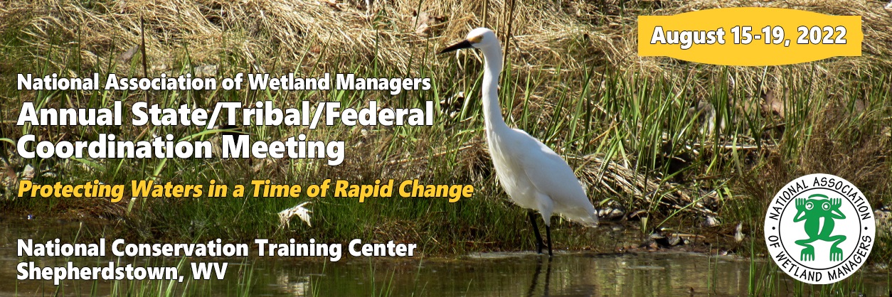
Protecting Waters in a Time of Rapid Change
We invite you to join us for NAWM’s (formerly ASWM)Annual State/Tribal/Federal Coordination Meeting, to be held at the National Conservation Training Center (NCTC) from August 15-19, 2022. The purpose of this annual meeting is to support state and tribal wetland program managers, and other wetland professionals as they respond to challenges in the coming year. Although we are currently scheduled to be at the NCTC, we will be monitoring the COVID-19 pandemic very closely and will follow all federal guidelines and mandates related to the pandemic. If circumstances require it, we will shift the meeting to a fully virtual format.
|
Dates August 15-19, 2022 National Conservation Training Center
Agenda is posted here. (8/12/22 - PDF) Meeting Materials (9/7/22) |
|
NAWM is committed to providing a safe and welcoming environment for the annual State/Tribal/Federal Coordination (STFC) Meeting. All individuals participating in any in-person aspect of the Annual Meeting are required to follow the policies of the U.S. Centers for Disease Control and Prevention and the National Conservation Training Center (NCTC). We will continue to revise our procedures as needed to reflect the current state of the pandemic. Anyone who refuses to follow NCTC COVID-19 protocols and requirements will be required to leave the facility immediately and will not receive a refund for any expenses incurred by attending NAWM’s Annual Meeting. NAWM cannot, however, guarantee that NAWM staff, board members or other in-person attendees at this meeting will not become infected with COVID-19. Read more here.
NCTC COVID POLCY (Updated 8/9/22)
Reminder: Only participants/instructors are allowed on campus at this time.
The NCTC is committed to the safety of everyone involved in our trainings and meetings. Please read below to understand the policies we have in place to manage operations with your safety in mind.
Covid-19 Protocols:
Please do not travel if at any time within 10 days of your meeting or course if you are experiencing COVID-19 symptoms, if you have been exposed to COVID-19, or if you have been ill with COVID-19. If you experience any of the aforementioned conditions within 10 days of your meeting or course, please contact me to cancel your enrollment.
Before you travel to ANY NCTC course:
- Prepare to be flexible.
- Review CDC Travel Guidance: What you need to know before you travel.
- Pack the following:
- Face masks (these will be required if NCTC’s status is orange)
- Tissues
- Alcohol based hand sanitizer (at least 60% alcohol)
- Disinfectant wipes (at least 70% alcohol)
- Thermometer
- Rapid tests (rapid tests are available from the NCTC nurse)
- Decongestant/cough suppressant/fever reducing medicines
- Remember safety first. NCTC reserves the right to cancel or postpone a meeting or class at any time before or during the course as needed to keep participants safe.
Current Vaccination and Masking Information:
The NCTC follows CDC’s mask guidance and agency protocols for in-person gatherings, based on COVID-19 community-level risk metrics that consider local hospitalization and intensive care capacity and transmission rates. The community level for the Jefferson County, West Virginia may be found by searching here. The current community level is communicated on signage throughout campus, and may change immediately prior to or during your meeting or course, so please be prepared for changing conditions and requirements, including universal masking.
Based on the current community level, the NCTC will be following the protocols for in-person meetings, courses, or events listed in the table found on the NCTC COVID-19 information page. When the community level is yellow or orange, all attendees at NCTC courses or events will be provided with a vaccination attestation form with their registration materials upon arrival. Attendees who are not fully vaccinated or who decline to attest to their vaccination status must provide proof of a negative COVID-19 test result taken within three days prior to entering the event, if asked. Please plan accordingly. Masks are required in ANY shared vehicle regardless of community level (busses, shuttles, government vehicles, etc.).
If you become ill while on campus:
If you begin to experience COVID-related symptoms while on campus your first step is to quarantine by remaining in your room and following all quarantine and isolation protocols developed by the CDC. Please ensure you bring enough personal clothing and supplies (e.g., prescription medications) to last through a complete isolation period (up to ten days if symptoms persist), just in case you are infected with COVID-19 while you are visiting.
Next you should:
- Inform your Course Leader or event coordinator and your supervisor.
- Schedule a visit with the NCTC nurse (extension 7880, carla_savage@fws.gov).
- Follow CDC guidance for what to do if sick.
- The NCTC can assist COVID-19 positive individuals unable to travel by providing quarantine lodging space, as needed.
THE NATIONAL CONSERVATION TRAINING CENTER
698 Conservation Way
Shepherdstown, WV 25443
Phone: 877-706-6282 or 304-876-7900
Location
The National Conservation Training Center, or frequently referred to as NCTC, is located just 60 miles or just over 1 hour outside the Washington DC metropolitan beltway. They are part of the Shepherdstown, West Virginia community also known for the nearby state university just down the road. They are located closest to the Washington Dulles International Airport, but many customers also use Baltimore/Washington International and Reagan National (DC) Airport.
Directions to NCTC ~ Maps ~ Shuttle Service ~ Facility
Directions to NCTC
Baltimore-Washington International Airport
Shuttle Service is available for arrivals from Dulles Airport to NCTC on Sunday, August 14th at 1:00 p.m., 4:00 p.m. and 7:00 p.m. Then from NCTC to Dulles Airport on Friday, August 19th at 1:30 p.m., 4:30 p.m. and 7:30 p.m. The cost is $100 for one way or round trip. You may reserve a time for the shuttle when making your room reservation.
Carpool Sign Up: Looking for a ride or can offer a colleague a ride, please sign up here.
Maps
Google Maps: Mapping websites have a difficult time locating NCTC using their mailing address. However, Google Maps will show you how to get to the NCTC entrance via 100 Col Shepherd Rd, Shepherdstown, WV 25443, USA.
General Information: Phone, Hours, Dining, Day Care, Service, Gym
NCTC: Points of Interest, USFWS Conservation Library, USFWS Conservation Museum and Archives, Vallen Comrades Memorial Wall, Elm Grove Overlook, Butterfly Garden
Facility Activities: Birding, Fishing, Hunting, Hiking, Running, and Photography
Things to Do in Shepherdstown
Shepherdstown Visitors Center
Jefferson County WV Chamber of Commerce
Berkeley County WV Chamber of Commerce
Calendar of Events
For more local activities, visit the Friends of NCTC website.
Recreation, Entertainment, Attractions
Antiques and Flea Markets
Cress Creek Country Club
Morgan's Grove Park
Potomac Heritage National Scenic Trail
Potomac Valley Audubon Society
Shepherdstown Music and Dance
The Shepherdstown Opera House
Upper Potomac Music Weekends
Vineyards
Yankauer Nature Preserve
Washington Heritage Trail
A complete list of things to do in Shepherdstown, can be found here.
Agenda
Marla Stelk, Executive Director
National Association of Wetland Managers
(207) 892-3399; marla@nawm.org
General Information
Laura Burchill, Office Manager
National Association of Wetland Managers
500 Washington Avenue, Suite 201, Portland, ME 04103
(207) 892-3399; Fax: (207) 894-7992; laura@nawm.org
Dates
Tuesday, May 10-Thursday, May 12, 2022
Location
Maritime Conference Center (MCC), 692 Maritime Boulevard Linthicum Heights, MD 21090-1952
Meeting Purpose was to continue to:
1) share examples of successful communication strategies informed by scientific-based tools;
2) information sharing among state, federal, and tribal entities;
3) foster technology transfer among state/tribal wetland practitioners on wetland monitoring and assessment methods and tools; and
4) build capacity around state work in the areas of climate change and environmental justice.
Host Organizations
The National Association of Wetland Managers (NAWM, Formerly ASWM) and NEIWPCC.
Overview
This was a combined meeting of MAWWG and NEBAWWG to foster continued collaboration across EPA Regions 1, 2, and 3. Attendees were wetlands managers, scientists, or students spanning from Maine to North Carolina and as far west as Ohio. The previous in-person joint meeting in 2018 drew 70 attendees from city, state, tribe, and federal agencies, natural heritage programs, wetland conservation organizations, and academia. Our virtual meeting in October 2021 had more than 75 participants.
Among the many benefits of participation, attendees:
• Learned about new or updated programs, projects, regulations, data sources & policies
• Knowledge exchange and peer review on programs, strategies, methods & tools
• Networking, collaboration, and partnership-building across states/regions
General Information
Laura Burchill, Office Manager
National Association of Wetland Managers
500 Washington Avenue, Suite 201
Portland, ME 04103
(207) 892-3399; Fax: (207) 894-7992
laura@nawm.org
NWI Data in Support of Conservation Efforts and Habitat Modeling
Held Tuesday, December 3, 2019 - 3:00pm-4:00pm Eastern
PRESENTER
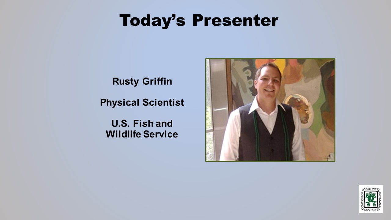
- Rusty Griffin, U.S. Fish and Wildlife Service
ABSTRACT
This session provided an overview of advances in NWI data, analysis, and novel methods to utilize NWI wetland data and Wetland Status and Trends reports to support conservation efforts. It highlighted the specific applications of these methods that have been utilized by the Fish and Wildlife Service in SSA (Species Status Assessment) development and highlight for broader wetland conservation.
BIO
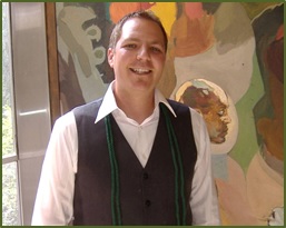 Rusty Griffin is a Physical Scientist for the U.S. Fish and Wildlife Service's, National Standards and Support Team in Madison Wisconsin. He is the National Wetlands Coordinator for the National Wetlands Inventory, responsible for quality assurance/quality control and national consistency for the wetlands layer of the National Spatial Data Infrastructure. Rusty has over 12 years of experience in wetland mapping – creating NWI maps as a private contractor and a federal employee, holds a B.S. in Geology from Portland State University, Masters of Natural Resources from Utah State, and is a member of the National Technical Committee for Hydric Soils.
Please click only once on each video recording to view in this window.
Part 1: Introduction: William Dooley, Policy Analyst, Association of State Wetland Managers
Presenter: Rusty Griffin, U.S. Fish and Wildlife Service
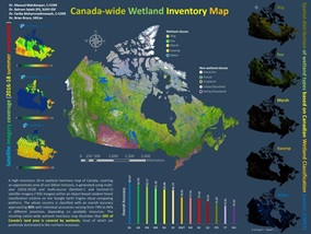
Wetland Inventory of Canada Using Optical and RADAR EO Data and Google Earth Cloud Computing
Held Wednesday, November 13, 2019 - 3:00pm-4:30pm Eastern
INTRODUCTION
- Marla Stelk, Executive Director, Association of State Wetland Managers [PRESENTATION PDF]
PRESENTER
- Bahram Salehi, PhD, PEng. Assistant Professor of Remote Sensing Engineering, State U of New York, College of Environmental Science and Forestry [PRESENTATION PDF]
ABSTRACT
Wetland Inventory Map of CANADA
In this talk, I presented our most-recent wetland inventory map of Canada developed using an object-based random forest classification method built on the Google Earth Engine Cloud Computing Platform. The inventory was resulted from the processing of some 65000 optical and SAR Sentinel imagery, acquired in summers of 2016, 2017, and 2018. The map, covering all ten provinces and three northern territories, consists of five major wetland classes of bog, fen, marsh, swamp, and shallow water for all provinces and territories as well as other classes such as forests, cropland, urban, ice/snow depending on the existence of such classes in the specific province/territory. The overall classification accuracy of the entire country is about 80% with individual class accuracies ranging from 74% to 84%. Results show that 19% of Canada’s land areas is covered by wetlands, most of which are peatlands.
BIO
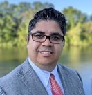 Bahram Salehi is an Assistant Professor of Remote Sensing Engineering at the Department of Environmental Resource Engineering, College of Environmental Science and Forestry (ESF), State University of New York (SUNY) (https://www.esf.edu/faculty/salehi/) and an Adjunct Professor at Memorial University of Newfoundland, Canada. He has over 17 years of academic and industrial R&D experience in the broad area of remote sensing for both algorithm and application development. Dr. Salehi is the author (or co-author) of more than 40 peer-reviewed journal papers and book chapters and is an editorial board member at Remote Sensing – Open Access Journal. Bahram is the recipient of the 2019 CRSS-SCT Medal for “his early career achievements as a young scientist in the field of remote sensing and for his dedication to the Canadian Remote Sensing Society”.
Please click only once on each video recording to view in this window.
Part 1: Introduction: Marla Stelk, Executive Director, Association of State Wetland Managers
Presenter: Bahram Salehi, PhD, PEng., SUNY, College of Environmental Science and Forestry
National Land Cover Database 2016, General Overview and Applications to Wetland Assessments
Held Wednesday, October 23, 2019
INTRODUCTION
- William Dooley, Policy Analyst, Association of State Wetland Managers[PRESENTATION PDF]
PRESENTERS
- Dr. Collin Homer, U.S. Geological Survey [PRESENTATION PDF]
- Dr. George Xian, U.S. Geological Survey [PPRESENTATION PDF]
ABSTRACTS
Collin Homer
The U.S. Geological Survey (USGS) in collaboration with the Multi-Resolution Land Characteristics Consortium (MRLC) has recently released the latest version of the National Land Cover Database (NLCD 2016) for the conterminous United States. This suite of products includes land cover and urban imperviousness for 2001-2016, tree canopy for 2011 – 2016 and new shrub/grass products for 1984-2016 across the conterminous U.S. NLCD 2016 offers users an unprecedented set of land cover and land cover change products which have been designed to further expand and advance NLCD applications. National results of the NLCD 2016 land cover product will be examined, with specific focus on class distribution patterns and prominent change patterns. Users can download all NLCD 2016 products here.
George Xiam
National Land Cover Database – Wetland
Wetlands provide important roles to maintain ecosystems health and to benefit society. Wetland type varies by vegetation type, structure and density, as well as soil and hydroperiod. The National Land Cover Database (NLCD) uses Landsat imagery and other ancillary data to map land cover and change for the nation. One of ancillary datasets used in NLCD is National Wetland Inventory (NWI) data. NWI is used to improve wetland mapping accuracy and to characterize wetland change. NLCD has two wetland types: woody wetland and herbaceous wetland. In this presentation, the efforts in mapping national wetland areas across conterminous United States were introduced. The presentation also focused on using the newly released NLCD 2016 products to assess national wetland distributions and change from 2001 to 2016 in every 2 to 3 years. The analysis results highlight national wetland conditions and changes in both national and regional scales.
BIOS
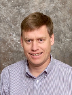 Collin Homer is a Research Biologist and Director National Land Cover Database with U.S. Geological Survey (USGS), EROS Center. For over 25 years, Collin has been focused on the research and development of effective landscape scale remote sensing products, methods, and databases that address large area land cover and biological issues. This includes such products as the National Land Cover Database, and the North American Land Change Monitoring System. He serves as the coordinator of the Federal agency Multi Resolution Land Characteristics Consortium that coordinates National land cover production for 10 Federal agencies. He continues to conduct land cover change research and analysis at North American, National and Region scales, developing monitoring applications for biological, ecological, and climate science. He extensively collaborates with USGS Ecosystem scientists and BLM land managers and is currently located in the USGS Ecosystem office at Boise, Idaho. Collin has a BS in Geography from Weber State University, an MS in Wildlife Management, with Emphasis on Geographic Information Systems/Remote Sensing from Utah State University, and a PhD in Geospatial Science and Engineering from South Dakota State University.
 Dr. George Xian, a Research Physical Scientist, works on national land cover and land change research and applications using remote sensing data at U.S. Geological Survey (USGS) Earth Resources Observation and Science Center (EROS). He has extensive experiences in remote sensing data application for land cover characterization and land cover change assessment. He has specialized in using multi-type remote sensing data the USGS land resources monitoring and change projects as a science lead and a coordinator. He has developed a broad connection with scientific community in natural resources change monitoring and change assessment using remote sensing information. During the past 10 years, he has focused on using multi-type remote sensing data and environmental models for land cover characterization, environmental change analysis, and urban growth and associated environment effect assessments across the United States. He has published numerous peer reviewed journal articles and book chapters. He also serves as an editor-in-chief of the journal Remote Sensing Applications: Society and Environment.
Please click only once on each video recording to view in this window.
Part 1: Introduction: William Dooley, Policy Analyst, Association of State Wetland Managers
Presenter: Dr. Collin Homer, U.S. Geological Survey
National Riparian Areas Base Map: Development & Applications
Held Wednesday, October 2, 2019 - 3:00-4:30 p.m. Eastern
INTRODUCTION
- William Dooley, Policy Analyst, Association of State Wetland Managers [PRESENTATION PDF]
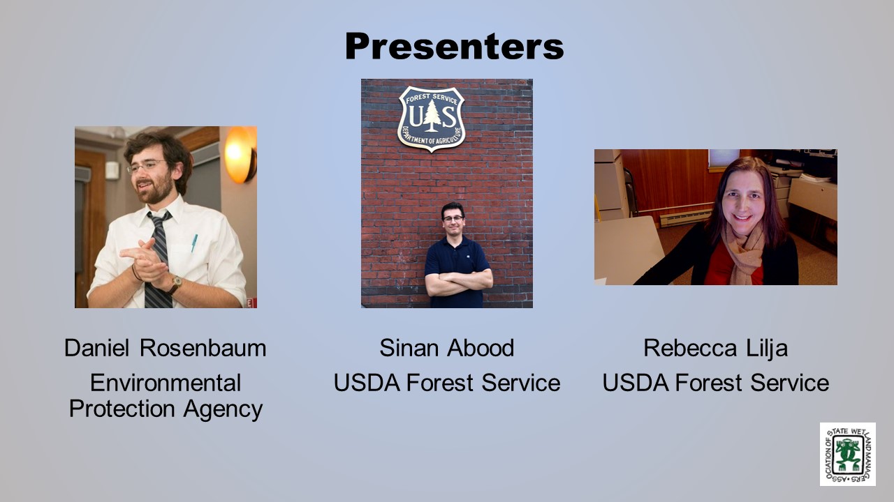
PRESENTERS
- Sinan Abood, U.S. Forest Service [PRESENTATION PDF]
- Daniel Rosenbaum, U.S. Environmental Protection Agency [PRESENTATION PDF]
- Rebecca Lilja, U.S. Forest Service [PRESENTATION PDF]
ABSTRACTS
Sinan Abood
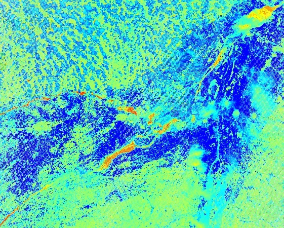
Riparian zones are important natural resources that capture the transitional area between terrestrial and aquatic ecosystems with specific vegetation and soil characteristics which provides irreplaceable values/ecosystem functions and are very responsive to changes in land management activities. Delineating and quantifying riparian areas is an essential step in riparian inventory monitoring, planning, management, and policy decisions and also, in preserving its valuable ecological functions. The Riparian Buffer Delineation model (RBDM)v5.x recognizes the dynamic and transitional nature of riparian areas by accounting for hydrologic, geomorphic and vegetation data as inputs. Here we present and for the first time a national riparian areas base map in 1:100K scale at 10-meter spatial resolution and the associated modeling technique.
Daniel Rosenbaum
When considering a classification of riparian areas, high resolution (1 meter) offers significantly more in the way of detail, adding 900 one-meter pixels for every pixel of a 30-meter product (e.g., National Land Cover Dataset). As cloud-based computing continues to be mainstreamed into remote sensing, platforms like Google Earth Engine showcase powerful parallel processing abilities and on-the-fly data visualizations that lend themselves well to classifying large geographic areas quickly, but with steep learning curves and challenges that can make getting a refined product difficult. This project, still incomplete, sets out to classify functional and fixed-width riparian zones using Google Earth Engine and to test the capabilities of Google Earth Engine for developing high resolution land cover classifications. Results from this project are compared to products developed for EPA’s EnviroAtlas ecosystem service web tool.
Rebecca Lilja
Using the National Riparian Area Base Map in Forests to Faucets 2.0
Forests to Faucets 2.0 is an update to the 2011 Forests to Faucets assessment and utilizes the new National Riparian Area Base Map to determine the percent of the riparian area that is natural cover in each subwatershed across the Continental US. Using these data and other biophysical characteristics, the Forests to Faucets 2.0 evaluates a subwatersheds natural ability to produce clean water, identifies those subwatersheds important to downstream surface drinking water supplies, and estimates the potential risks to these watersheds from fire, insect and disease, water quantity, and development.
BIOS
 Sinan Abood is a Research Scientist with Watershed, Fish, Wildlife, Air & Rare Plants program at the USDA Forest Service-Washington office. PhD in environmental engineering focused on GIS and remote sensing applications. His research interests include remote sensing, GIS/geospatial programming, UAS applications, machine learning and developing geospatial models for environmental applications. He is interested in developing applied spatial solutions to quantify and monitor earth resources. He developed and maintained Riparian Buffer Delineation Model (RBDM) for mapping riparian areas utilizing free available datasets. For more information, go here.
 Daniel Rosenbaum is an Oak Ridge Institute for Science and Education (ORISE) participant at the United States Environmental Protection Agency in the Office of Research and Development in Research Triangle Park, NC. At the EPA, his work has been on the EnviroAtlas project working on high resolution land cover classifications, web tool development, and public health research. He holds a Master of Science in Public Health from the University of North Carolina, Chapel Hill.
 Rebecca Lilja is a Geospatial Information Systems (GIS) Specialist with the USDA Forest Service, Eastern Region, State & Private Forestry located in Durham, NH. She has been assessing the connection between forests and water since 2005, and is an author of Forests, Water and People: Drinking water supply and forest lands in the Northeast and Midwest United States (2009), Private forests, housing growth, and America’s water supply: A report from the Forests on the Edge and Forests to Faucets Projects (2014), and Forests to Faucets 2.0 (2019).
Please click only once on each video recording to view in this window.
Part 1: Introduction: William Dooley, Policy Analyst, Association of State Wetland Managers
Presenter: Sinan Abood, U.S. Forest Services
Lessons Learned from the Minnesota NWI Update
Held Wednesday, September 4, 2019 - 3:00pm-4:30pm EDT
INTRODUCTION
- William Dooley, Policy Analyst, Association of State Wetland Managers[POWERPOINT PRESENTATION]
PRESENTERS
- Steve Kloiber, Minnesota Department of Natural Resources
- Robb Macleod, Ducks Unlimited
- Kevin Stark, Saint Mary’s University of Minnesota
[JOINT POWERPOINT PRESENTATION]
ABSTRACT
The Minnesota Department of Natural Resources has completed a 10-year effort to update the state’s National Wetlands Inventory maps for the first time since the U.S. Fish and Wildlife Service completed wetland mapping roughly four decades ago. Updating the inventory was critical for continued support of wetland planning and management needs. As such, the update reflects the latest technology in remote sensing and mapping. This presentation provided an overview of the project including, partners, methods, timeline, and costs. We also presented and discussed the lessons learned from this project and provide thoughts on future directions for wetland mapping.
BIOS
 Steve Kloiber was the wetland monitoring coordinator for the DNR, where he oversaw the update of the National Wetland Inventory and the wetland status and trends monitoring program. He recently started a new position at the Minnesota DNR as the Lake Ecology Unit Supervisor. Prior to working at the DNR, he was the lead environmental analyst for the Metropolitan Council of the Twin Cities, and he served on the Nine Mile Creek Watershed District Board for 12 years. He has over 25 years of experience in water resources and GIS. He received his masters and PhD from the University of Minnesota in environmental engineering with a minor in water resources science.
 Robb Macleod is the National GIS Coordinator for Ducks Unlimited. He has been working for Ducks Unlimited in the GIS and Remote Sensing field for over 25 years. His current duties include coordinating all of the geospatial activities for Ducks Unlimited. Robb has been active in mapping wetlands in the Great Lakes for over 19 years with previous experience mapping wetlands and land cover in Alaska.
 As the assistant director, Kevin Stark is responsible for co-management of GeoSpatial Services projects and staff. GeoSpatial Services is engaged in a wide variety of projects across the Lower 48 and Alaska including National Wetland Inventory; National Hydrography Dataset updates; spatial data development; and, natural resource condition assessments. In his 13-year tenure at GeoSpatial services, Kevin has worked on a wide variety of projects from the first National Park Service - Natural Resource Condition Assessment to several landscape-scale wetland functional assessments and many GIS data development and analyses projects. To date, he has directly contributed to wetland mapping and assessment projects in 9 different states. Kevin received a B.S in Forestry from the University of Wisconsin – Stevens Point and an M.S. in Geographic Information Science from Saint Mary’s University of Minnesota.
Please click only once on each video recording to view in this window.
Part 1: Introduction: William Dooley, Policy Analyst, Association of State Wetland Managers
Presenter: Steve Kloiber, Minnesota Department of Natural Resources

Mapping Wetland Inundation Dynamics and Wetland Change using Google Earth Engine
Held Wednesday, August 21, 2019 - 3:00pm-4:30pm EDT
INTRODUCTION
- William Dooley, Policy Analyst, Association of State Wetland Managers [PRESENTATION PDF]
PRESENTERS
- Qiusheng Wu, PhD, University of Tennessee [PRESENTATION PDF]
- Melanie Vanderhoof, PhD, U.S. Geological Survey [PRESENTATION PDF]
ABSTRACTS
Qiusheng Wu, PhD
Wetlands are dynamic ecosystems exhibiting inter- and intra-annual inundation dynamics. By integrating Light Detection and Ranging (LiDAR) data and multi-temporal 1-m resolution NAIP imagery, we developed a fully automated approach to delineate wetland inundation extent at watershed scales in the Prairie Pothole Region using Google Earth Engine (GEE). Our automated algorithm provides a practical, reproducible, and scalable framework, which can be easily adapted to delineate wetland inundation dynamics at broad geographic scales. The GEE source code for this project is available here.
Melanie Vanderhoof, PhD
Melanie, in collaboration with U.S. EPA, Region 3, presented early-stage findings for an ongoing research project to concurrently track bare soil disturbance and surface water dynamics across the Mid-Atlantic Region. The project aims to (1) distinguish temporary water losses (e.g., droughts) from permanent water losses (e.g., wetland fill), and (2) reduce the limitation of Landsat to detect small or narrow water bodies. The algorithms are run in Google Earth Engine using the Landsat archive.
BIOS
 Qiusheng Wu is an Assistant Professor in the Department of Geography at the University of Tennessee, Knoxville. His research interests include Geographic Information Science (GIS), remote sensing, and environmental modeling. More specifically, he is interested in applying geospatial big data, machine learning, and cloud computing (e.g., Google Earth Engine) to study environmental change, especially surface water and wetland inundation dynamics. He has developed and maintained various open-source packages for advanced geospatial analysis, which are available on GitHub. More information about his research can be found here.
 Melanie Vanderhoof is a Research Geographer with the U.S. Geological Survey in Denver, Colorado. She received her PhD in Geography from Clark University in Worcester, Massachusetts. Her research uses diverse sources of satellite imagery to explore how ecosystems change over time. In recent years her research has focused on both wetlands and river system dynamics as well as patterns in post-fire condition and regeneration. She is particularly interested in efforts to distinguish changes induced by climate anomalies from changes induced by shifts in human land use.
Please click only once on each video recording to view in this window.
Part 1: Introduction: William Dooley, Policy Analyst, Association of State Wetland Managers
Mapping Thirty Years of Wetland Surface Water Dynamics Using Landsat Satellite Imagery: Implications for Climate Change and Species Management
Held Thursday, June 20, 2019 - 3:00 p.m.-4:30 p.m. Eastern
INTRODUCTION
William Dooley, Policy Analyst, Association of State Wetland Managers [PRESENTATION PDF]
PRESENTERS
- Meghan Halabisky, Ph.D., Lead Scientist with Conservation Science Partners [PRESENTATION PDF]
- Amanda Kissel, Ph.D., Lead Scientist with Conservation Science Partners [PRESENTATION PDF]
ABSTRACT
Wetlands are dynamic systems with complex hydrological regimes. Here we presented a novel sub-pixel remote sensing technique of a time series of Landsat satellite imagery to reconstruct long-term and seasonal surface water dynamics for individual wetlands at the landscape scale. In addition to describing these methods we illustrated two applications; mapping and modeling historic change and climate change impacts to wetlands and species habitat mapping for amphibians in the California Central Valley.
BIOS
 Meghan Halabisky is a lead scientist at Conservation Science Partners and a research scientist at the University of Washington Remote Sensing and Geospatial Analysis Lab (RSGAL). Her interests lie in understanding ecosystem dynamics and landscape change through the development and application of high-resolution remote sensing tools. She completed her PhD at the University of Washington, where she worked to characterize the response of wetland ecosystems to historic and future climate by reconstructing surface water hydrographs for thousands of wetlands in Washington State, and using a combination of aerial and satellite imagery. Meghan has a background in conservation management, having previously worked as an operations planner for the Oahu Invasive Species Committee. She has a concurrent master’s – MS/MPA from the Evans School of Public Affairs at the University of Washington.
 Amanda Kissel is an applied ecologist interested in how we can use species’ life history data linked to biotic and abiotic processes to both forecast declines and quantify the potential for recovery within a population or a species. Her work has covered a range of conservation issues, from recovering populations on the brink of extirpation to understanding how climate change will affect currently stable populations of montane amphibians. The common thread that ties her research together is providing a strong, quantitative framework for decision-making (present and future) that is grounded in species’ biology. Amanda has 14 years of field and research experience across various landscapes in the Western US and Canada. She received her PhD in 2017 from Simon Fraser University in Vancouver, BC, where she was a member of the Earth to Ocean research group. She recently returned to her home state of Colorado to be part of the CSP team.
For more information about the Wetland Mapping Consortium, related topics and resources, visit ASWM’s website here.
Please click only once on each video recording to view in this window.
Part 1: Introduction: William Dooley, Policy Analyst, Association of State Wetland Managers
Presenter: Meghan Halabisky, Ph.D., Lead Scientist with Conservation Science Partners

View Past Wetland Mapping Consortium Webinars
PDF List of Past Wetland Mapping Consortium Webinar Recordings
View Upcoming Wetland Mapping Consortium Webinars
Adaptation & Resiliency for the Advancement of Wetland Science, Policy and Practice
MEETING MATERIALS
Speaker Presentations for Monday, April 12th; Tuesday, April 13th; Wednesday, April 14th; and Thursday, April 15th
Recordings now available for Monday, April 12, 2021; Tuesday, April 13, 2021; Wednesday, April 14, 2021; and Thursday, April 15, 2021.
- To view presentations and recordings, click here.
- Then enter the password provided to view presentations and recordings.
Jon A. Kusler Student Scholarship Awardees
Related Materials
NAWM - Assumption Informatoin and Tools
NAWM - Developing Wetland Program Regulatory Capacity
Coalition for National Wetlands Inventory - Ducks Unlimited
Society of Wetland Scientists - Professional Certification Program
National Tribal Water Council Letter - EPA Consultation Tribal Comments - Submitted by Nancy Schuldt
WOTUS Diagram - Submitted by Mark Ryan
Section 401 Water Quality Certification Backgrounds - Submitted by Pat Parenteau
Development of Statewide Water Quality Standards for Utah Wetlands - Submitted by Becka Downard
NAWM Publications
Urban Wetlands Protection and Restoration Guide (2021)
NAWM's Pipeline Permitting Project Publications (2017)
Wetland Restoration: Contemporary Issues & Lessons Learned (2017)
NAWM Wetland Communications Case Studies Project Report (2017)
A Comparative Analysis of Ecosystem Service Valuation Decision Support Tools for Wetland Restoration (2016)
Government Liability and Climate Change: Selected Issues for Wetland and Floodplain Managers (2016)
Status and Trends Report on State Wetland Programs in the United States (2015)
Please see our Sponsor Exhibit page for more information.
Thank you to our Osprey Sponsor!

https://www.youtube.com/watch?v=9XFtZ2OeZsM
Thank you to our Loon Sponsor!

Thank you to our Kingfisher Sponsors!

Publications
 The Association conducts research and publishes reports, guidebooks, news articles, brochures, white papers, and summaries of findings of symposia and workshops. These are available electronically to all interested individuals and organizations.